
Description
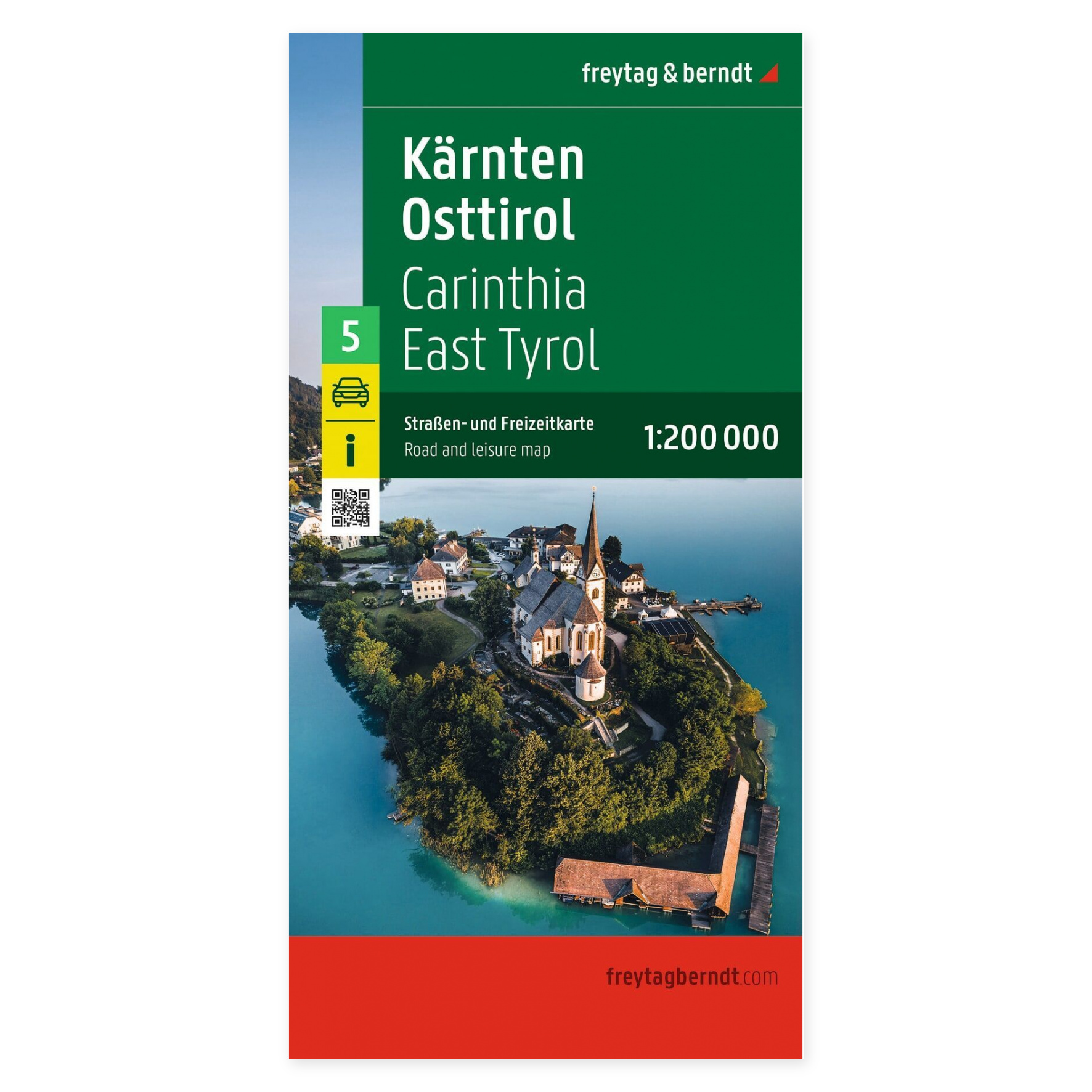
Freytag & Berndt Carinthia and East Tyrol is a detailed road and recreational map at a scale of 1:200,000, well-suited for road trips, motorcycle tours, RV travel, and general travel planning in southern Austria.
The map covers Carinthia and East Tyrol, an area featuring alpine landscapes, lakes, mountain passes, and a number of popular vacation destinations. The detailed road network makes the map well-suited both for planning longer drives and for finding smaller roads and interesting destinations along the way.
In addition to the road network, the map includes tourist information, campgrounds, and RV parks, as well as a comprehensive index of locations with ZIP codes. Separate city maps of Klagenfurt am Wörthersee and Lienz make it easier to find your way around two of the region’s most important cities.
When unfolded, the map measures approximately 132 × 96 cm. This is the 2026 edition from Freytag & Berndt and is part of the publisher’s series of regional road maps of Austria.