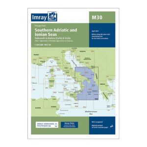
Description
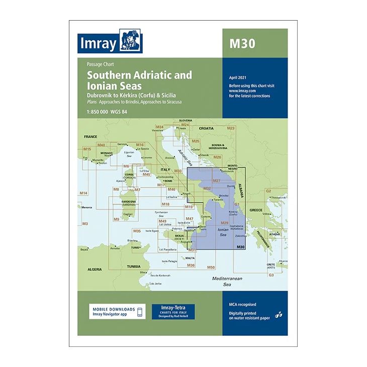
This overview map from Imray covers the southern Adriatic and Ionian Seas, with sailing areas stretching from Dubrovnik and the Dalmatian coast, via southern Italy, to Corfu and the west coast of Greece. The map also includes approaches to key ports such as Brindisi and Siracusa.
Developed for passage and route planning, the map provides a clear regional overview of major sailing routes in the central and eastern Mediterranean. It is a good complement to more detailed coastal and harbor charts for long-distance sailors and charter traffic.
Printed on water-resistant paper and produced to MCA-approved standards, with the option of digital updates via the Imray Navigator app.