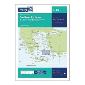
Description
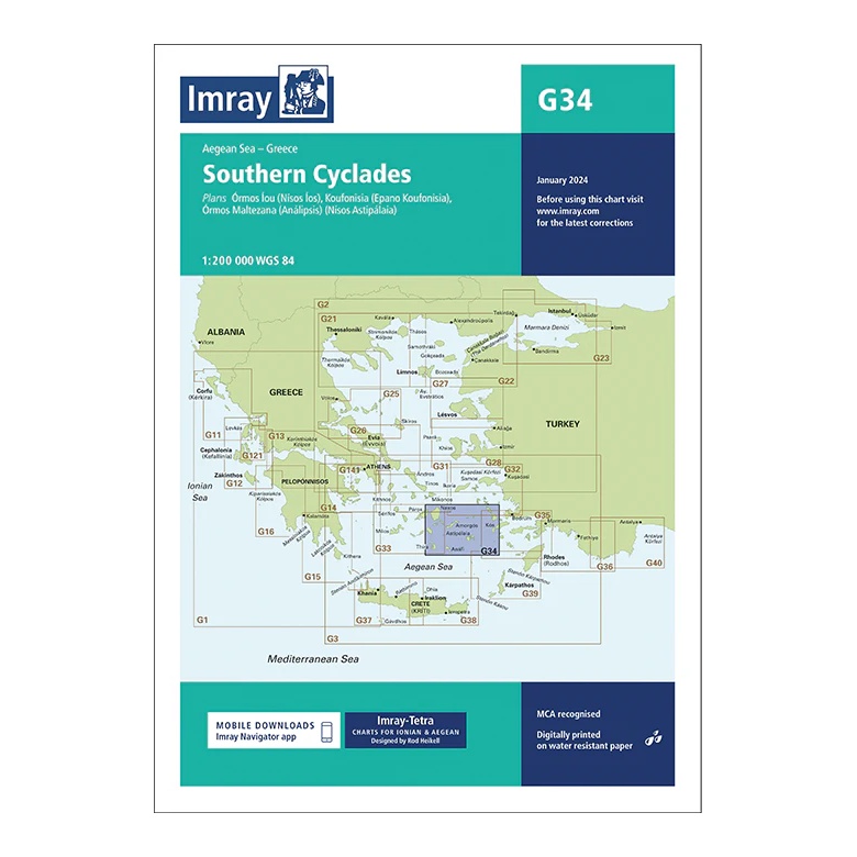
This overview chart from Imray covers the Southern Cyclades in the Aegean Sea, providing a clear regional overview of a key sailing area in Greece. The chart is designed for planning both coastal inter-island voyages and longer passages within the Cyclades and towards neighboring island groups.
The map includes plan views and approaches to Íos, Koufonísia, Anafi, Astypálaia and surrounding waters, among others. It serves as an important complement to more detailed harbor and coastal charts, and is particularly suitable for sailors planning island hopping in the southern Cyclades.
Printed on water-resistant paper and manufactured to MCA approved standards, with support for digital updates via the Imray Navigator app.