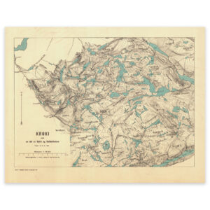


 Southern Norway 1826


Southern Norway 1826
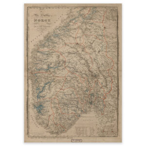
Map of southern Norway from 1826, created by cartographer Wilhelm Maximilian Carpelan. The map extends up to and including Levanger and the Fosen Peninsula in the north. The map is delivered in its original size of 67.1 x 84.4 cm. The size with frame and passe-partout is 87.1 x 106.4 cm. Do you want the map in a different size? Just get in touch – we’ll be happy to give you a quote for customization.