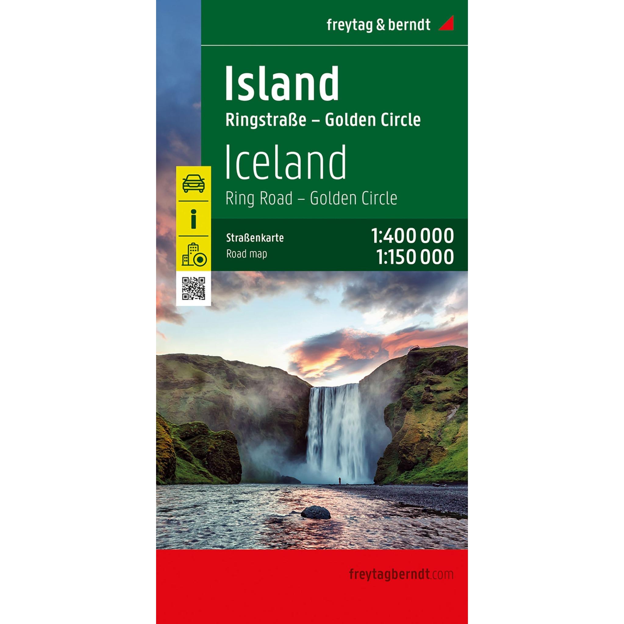

Description
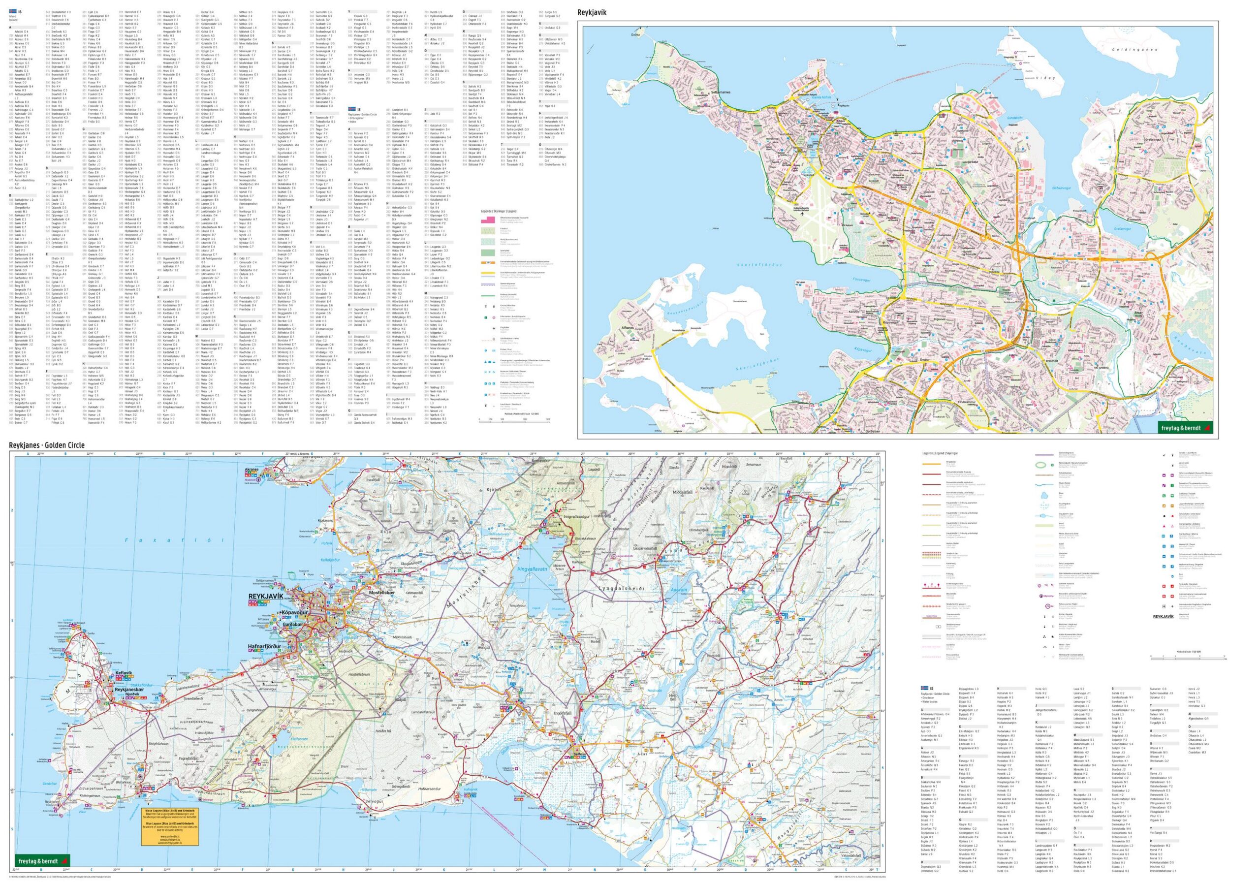
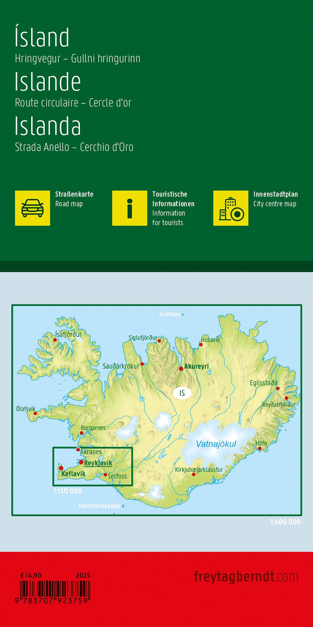
This road map covers the whole of Iceland and provides a detailed overview of the country’s road network and nature-based destinations. The map is well suited for both planning and executing trips, providing a solid foundation for exploring the island by car, motorcycle or motorhome.
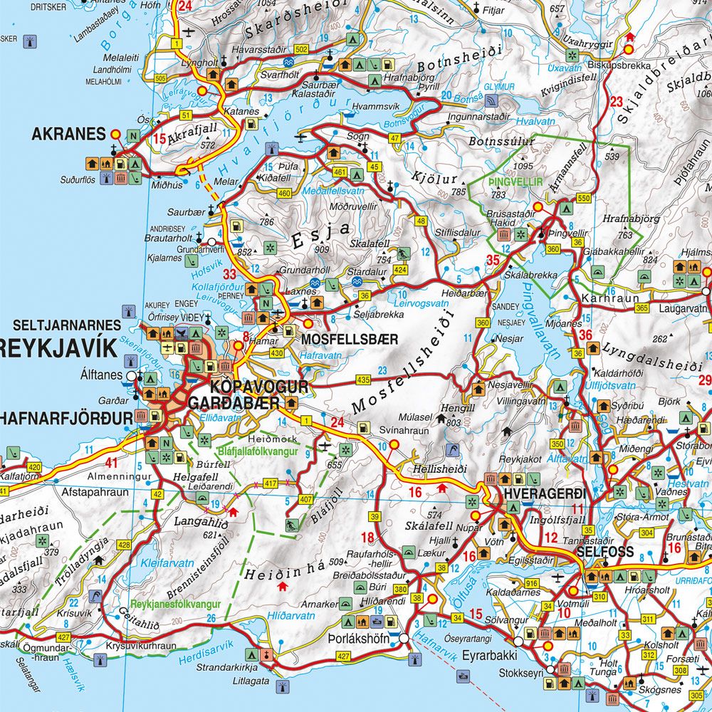
The map image shows both main roads and smaller connections, including the well-known ring road that runs around the entire country. Scenic routes, viewpoints and natural attractions are marked, making it easier to plan stops along the way. The map also includes practical information such as campsites and selected experiences, providing extra value for travelers who want flexibility.
In addition, the map includes a more detailed section of the Golden Circle area, as well as a city map of Reykjavík, making it easier to find your way around the capital. The clear cartography strikes a good balance between overview and detail, making the map suitable both before and during your trip.
Release year: 2025.