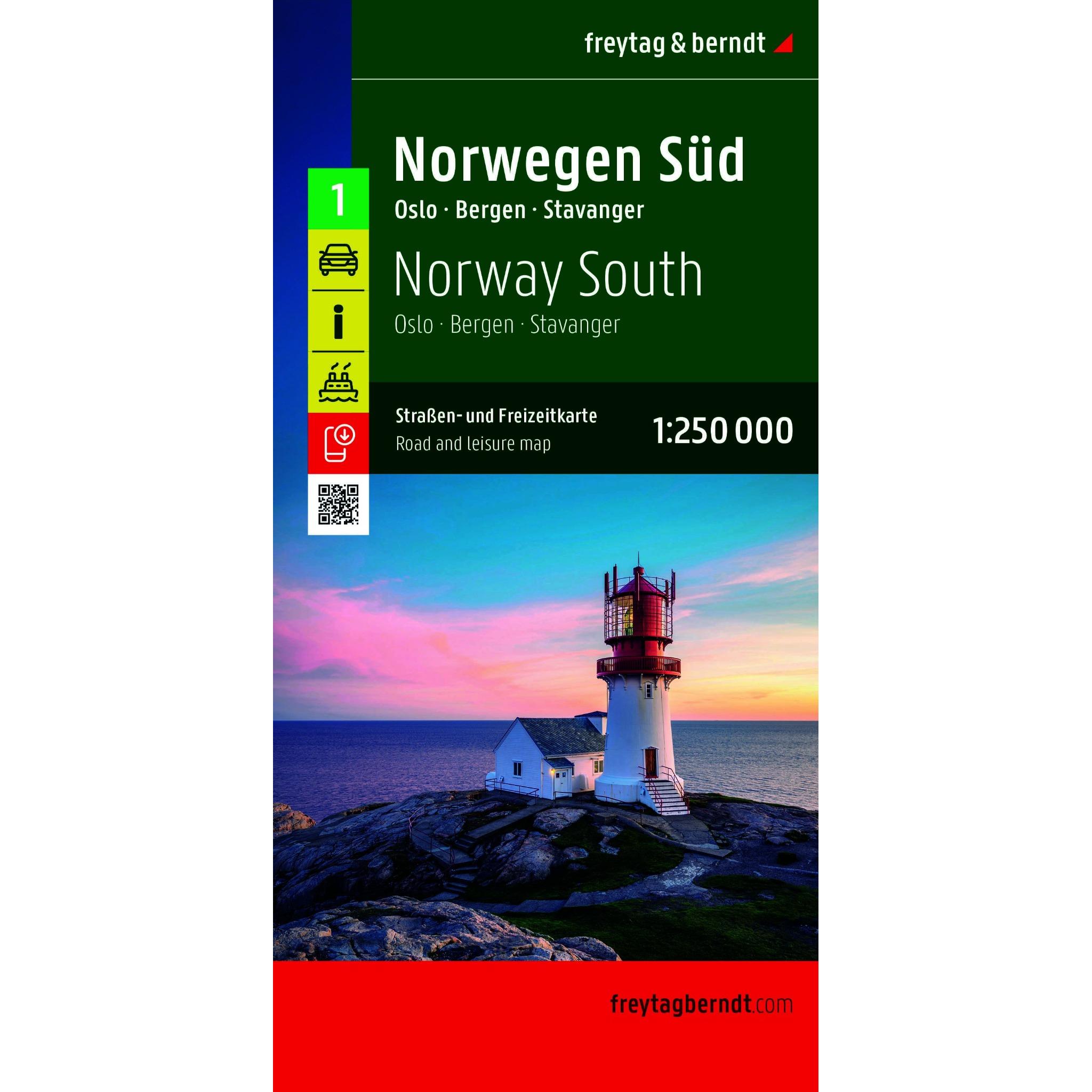
Description
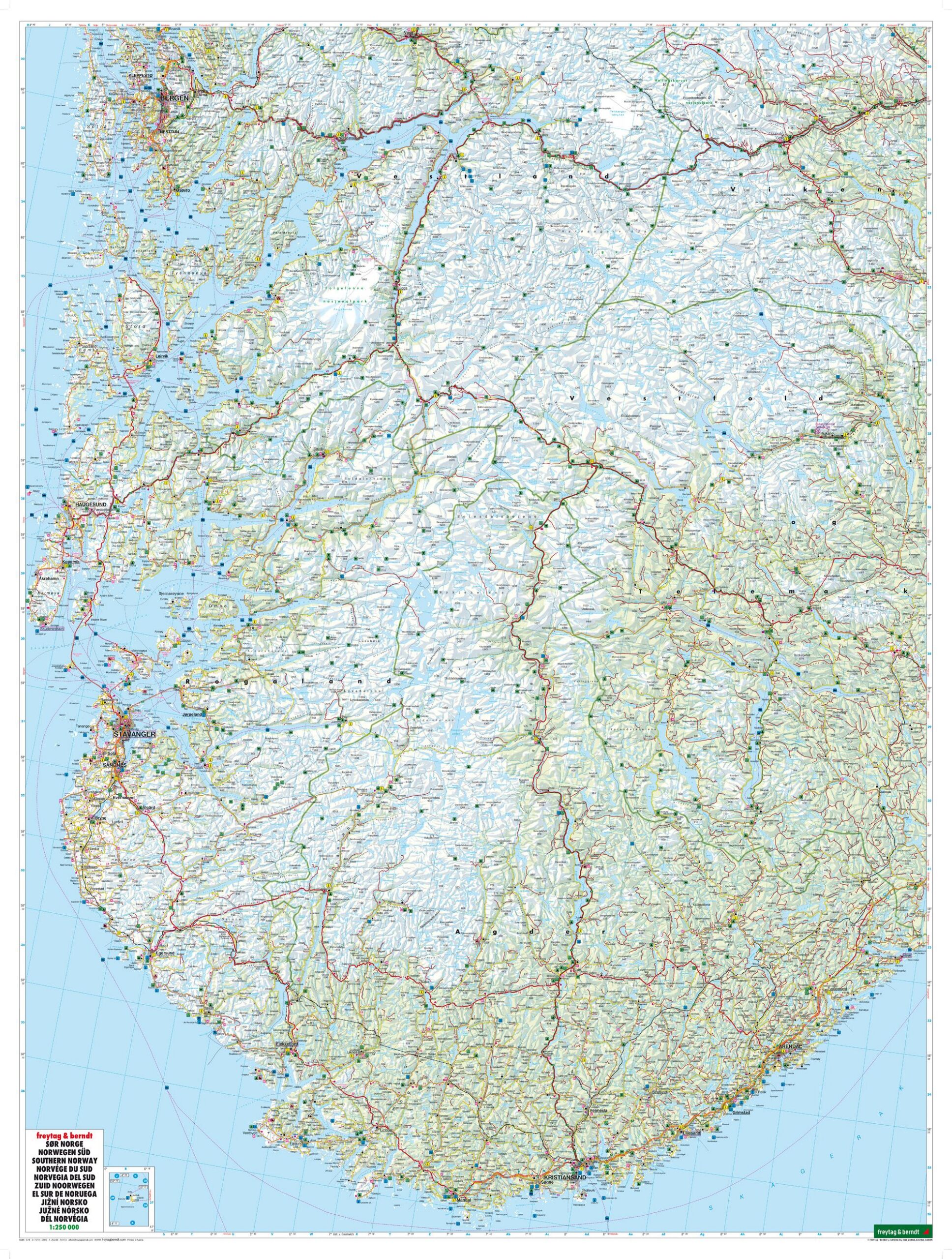
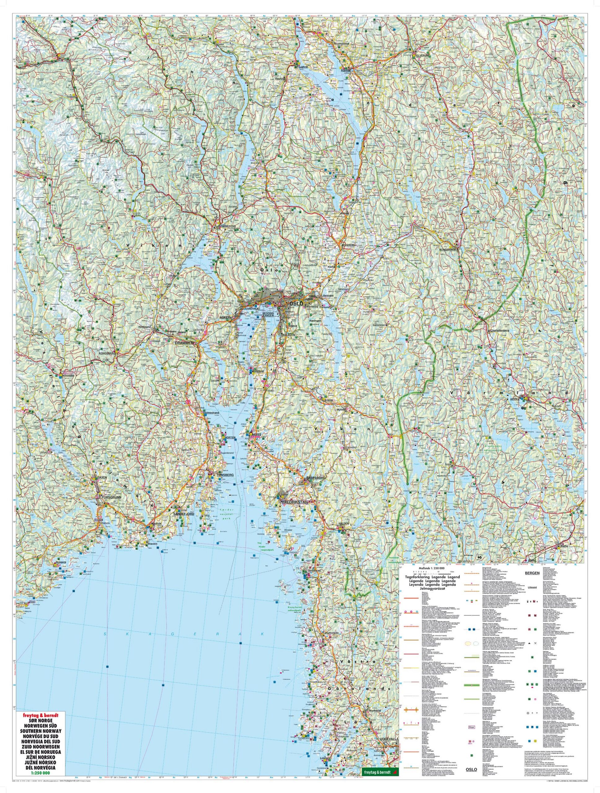
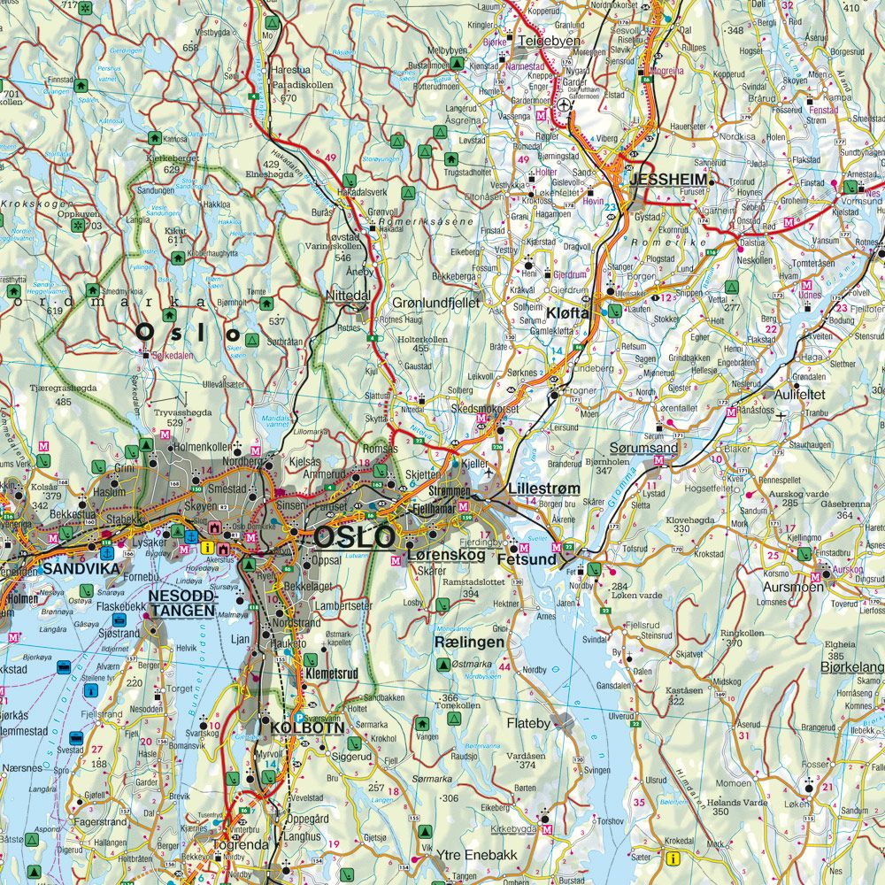
This is a detailed and clear road map of southern Norway, designed for road trips, motorcycle tours and travel by motorhome or caravan. Covering the areas around Oslo, Bergen and Stavanger, the map provides an accurate representation of the extensive road network in southern Norway, including key connections between cities, regions and coastal areas.
The map shows distances, tourist destinations and excursion destinations, and is particularly suitable for planning and orientation along the way. Campsites and motorhome sites are clearly marked, making the map very practical for travelers with their own cars. Car ferry connections are also included, making route planning along the coast and across fjords simple and clear.
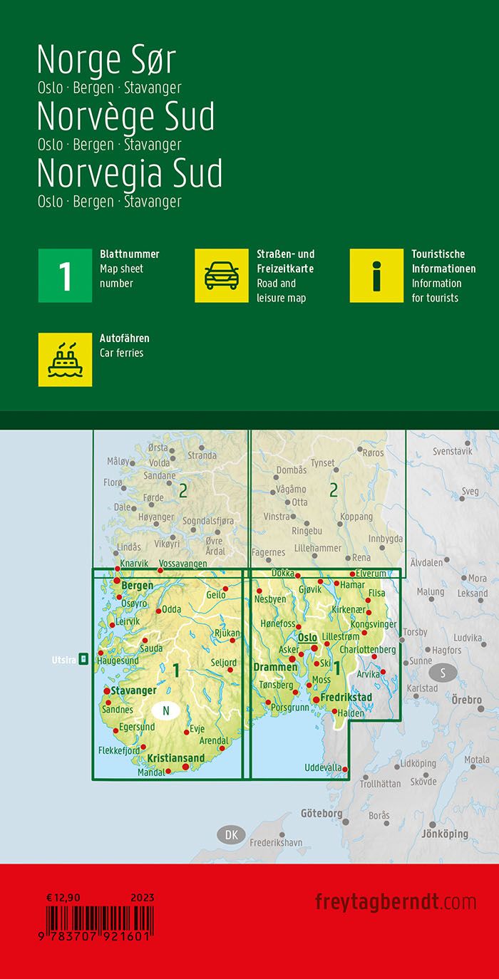
The well-designed cartography makes the map suitable for both advance planning and active use on the journey. The map is printed in large format, is double-sided and provides a good level of detail while retaining the overall view. This is the first sheet in the Norway map series, which consists of four maps covering the entire country.
The map is in German, but can easily be used by travelers with no knowledge of German. Road maps are mainly based on symbols, road numbers and place names and provide quick and intuitive orientation regardless of language.
The map is published in 2026 by freytag & berndt, at a scale of 1:250,000, and covers southern Norway, including Oslo, the Oslofjord, Western Norway and the areas around Stavanger and Bergen. The map is printed in Austria and delivered as a foldable road map in large format (approx. 124 × 95 cm unfolded).