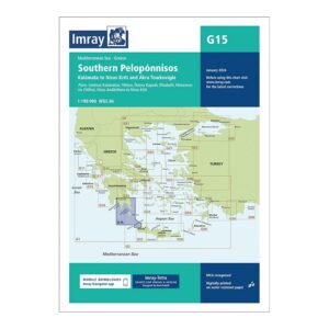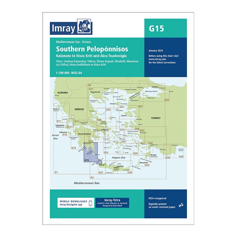
Description
This overview chart from Imray covers the southern part of the Peloponnese, from Kalamata in the west via the Mani Peninsula and around Cape Máleas, further east towards Kíthira (Nísos Kíthira) and Ákra Tourkovígla. The map provides a clear regional overview of a demanding and weather-prone sailing area at the intersection of the Ionian and Aegean Seas.
The map includes plan views and approaches to Liménas Kalamátas, Yíthion, Órmos Kapsáli (Kíthira), Dhíafkti, Monemvasía (Géfyra) as well as routes towards Nísos Kríti, among others. It is particularly suitable for route and passage planning around Cape Máleas – one of the most famous weather and current challenging areas in Greece.
Printed on water-resistant paper and manufactured to MCA approved standards, with support for digital updates via the Imray Navigator app.