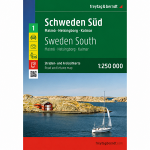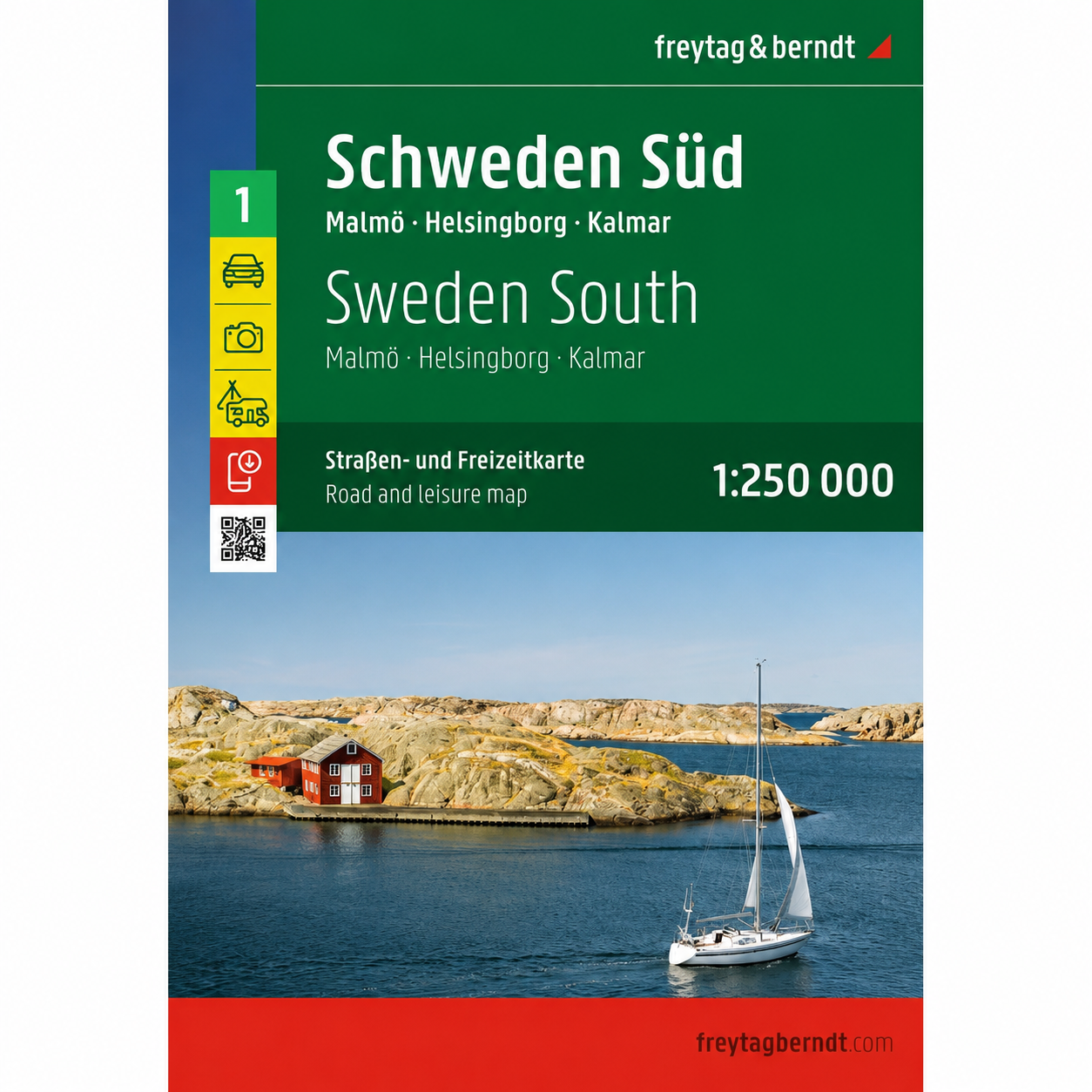
Description
This is a detailed and clear road map of southern Sweden, covering the areas around Malmö, Helsingborg and Kalmar. The map is designed for travelers by car, motorcycle or motorhome and provides a good overview of both main roads and smaller regional roads in the southern parts of Sweden.
The map image is clear and easy to read, with accurate representation of road networks, distances and important connections. Tourist attractions and excursion destinations are marked on the map, which makes it suitable for both pre-trip planning and support along the way. The map also includes a comprehensive place index with postcodes and an overview of camping and caravanning sites, which is particularly useful for holiday trips in the region.
Southern Sweden offers a varied landscape, with archipelagos, coastal areas, lakes and forests. Areas such as Öresund, Skåne, Småland and the island of Öland offer great opportunities for outdoor activities, culture and sightseeing. The map is delivered in large format and provides a good balance between level of detail and overview.
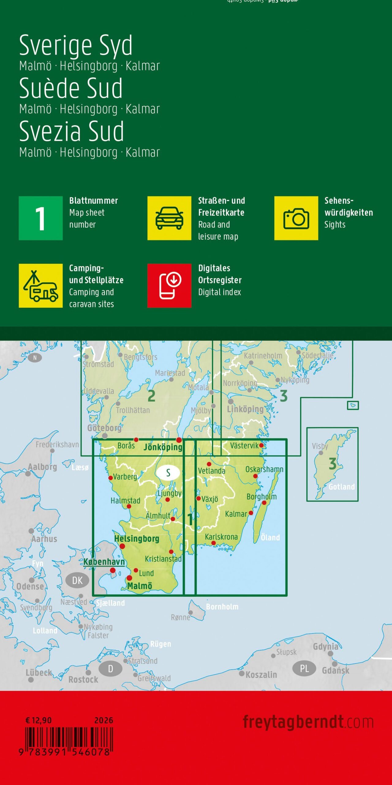
This road map is sheet 1 in the map series Sweden, which consists of five regional road maps covering the entire country. The map is printed in Austria and is of high cartographic quality.
The map is released in 2026.