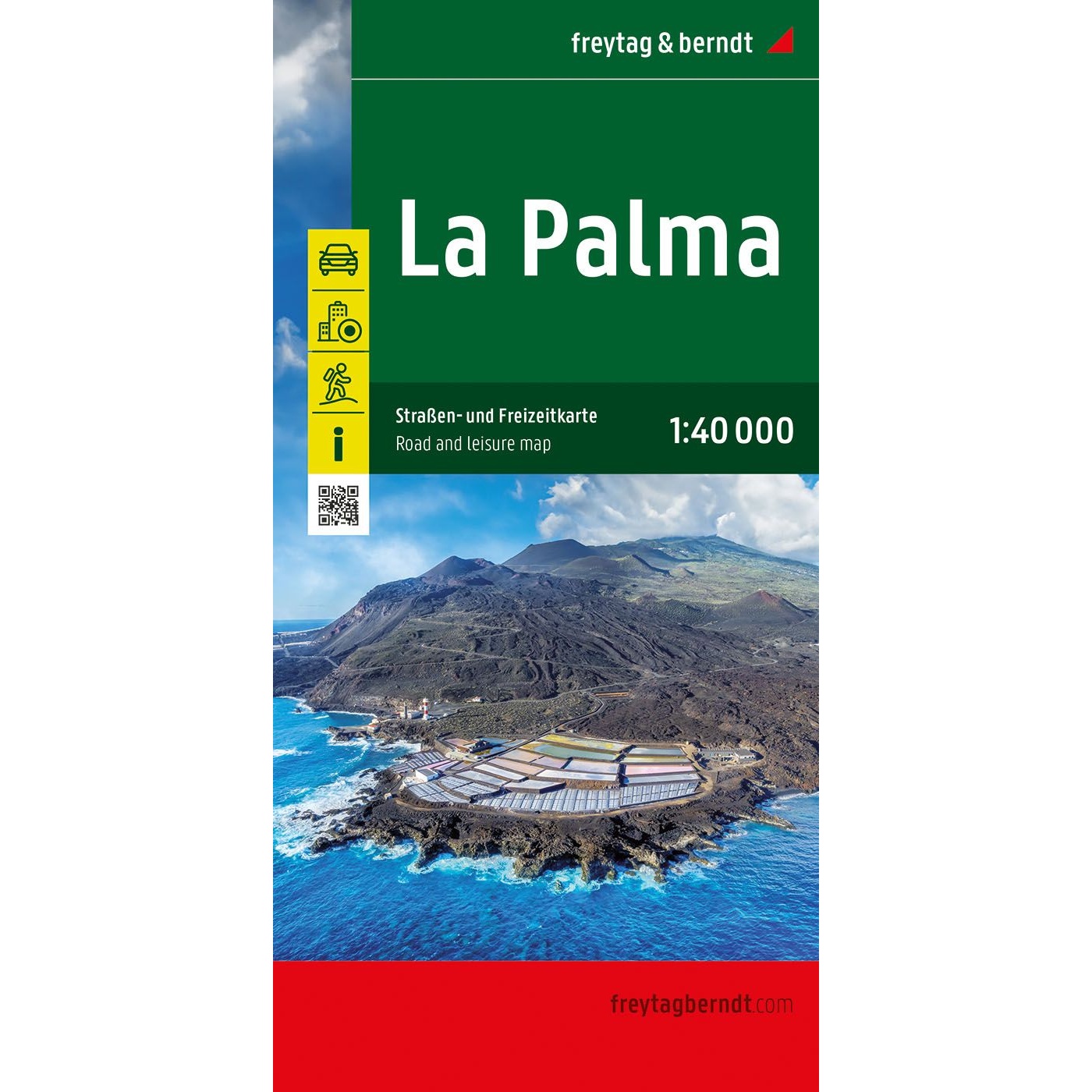
Description
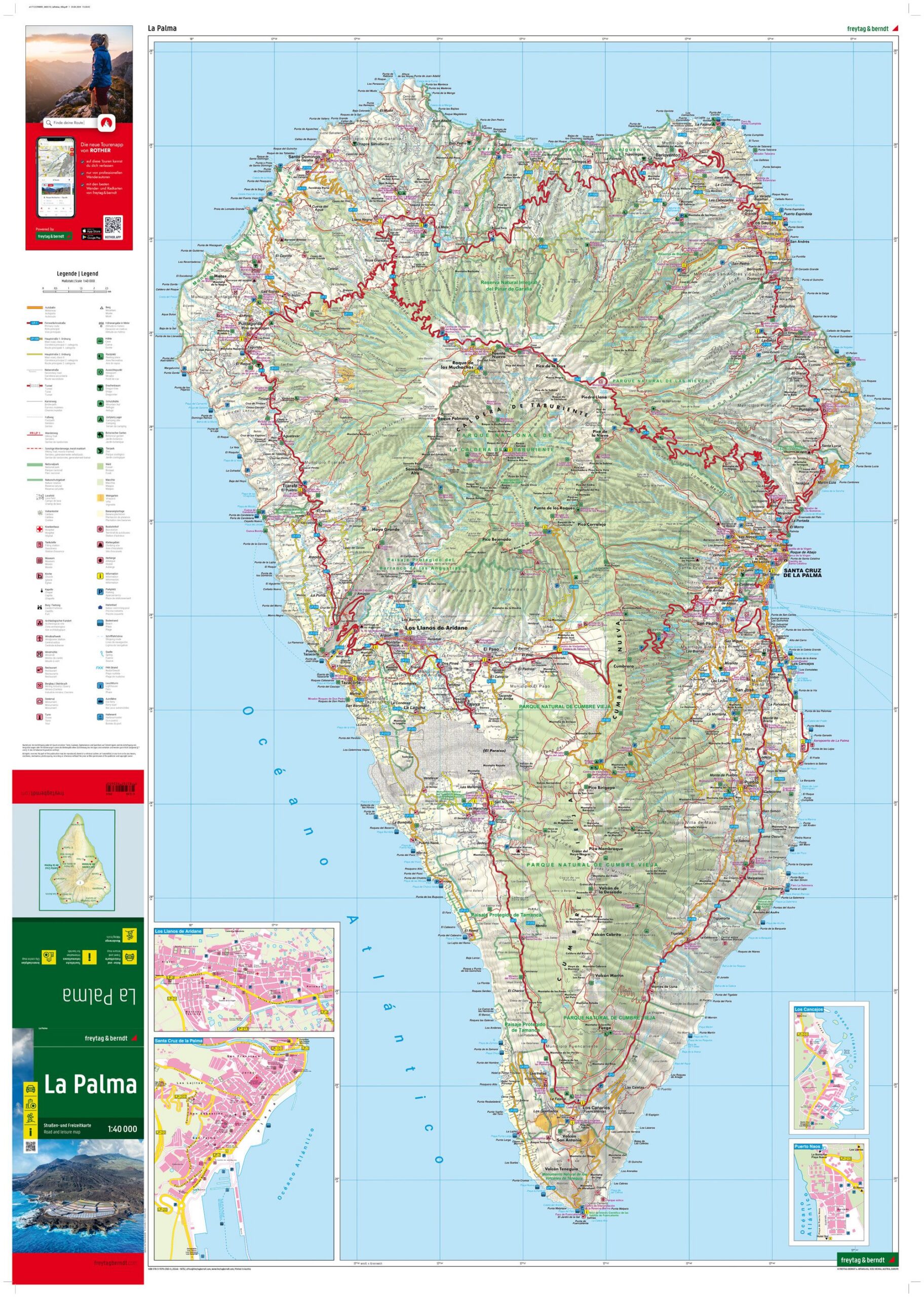
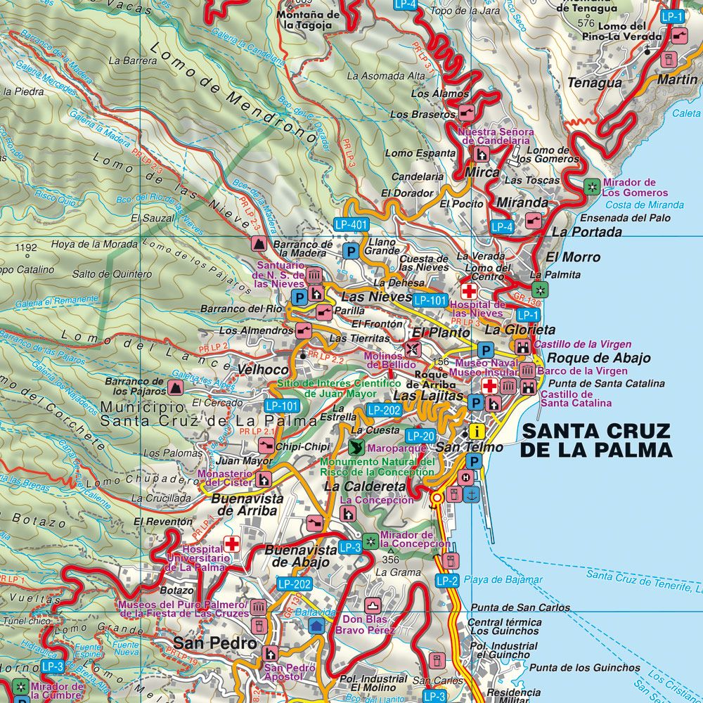
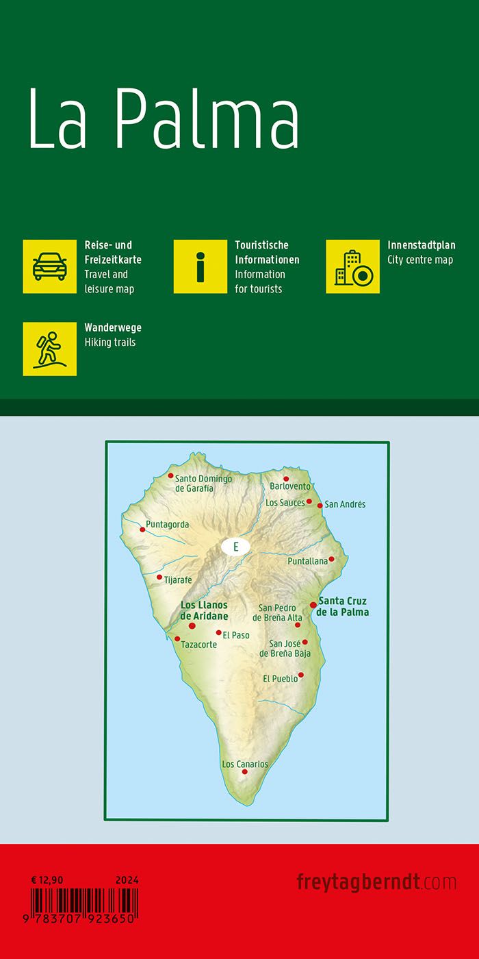
This road map covers the island of La Palma and provides a detailed overview of both the road network and landscape. The map is suitable for both planning and executing trips, and provides a solid basis for exploring the island by car, motorcycle or on foot.
The map image shows a fine-meshed network of roads, including smaller connections that make it possible to discover more remote areas. Scenic routes and tourist attractions are marked, making it easier to plan a varied journey. The map also includes marked hiking trails and elevation information, making it well-suited for easier hiking and off-road exploration.
In addition, the map includes city maps of Santa Cruz de La Palma and Los Llanos de Aridane, making it easier to find your way around the island’s main urban areas. The clear cartography provides a high level of detail and legibility, making the map suitable both before and during your stay.
Release year: 2024.