
Description
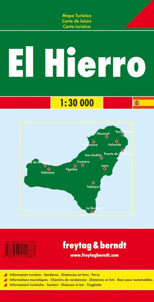
Freytag & Berndt El Hierro is a detailed road and recreational map of El Hierro, the smallest and most unspoiled of the larger Canary Islands. With a scale of 1:30,000, the map provides a highly detailed overview of the island’s road network, nature, and attractions, and is perfect for those who want to explore the island by car, motorcycle, or on foot.
The map shows all major and local roads, information about road conditions, distances in kilometers, and a comprehensive index of places that makes it easy to find your way around. In addition , hiking trails, campgrounds, tourist attractions, ferry connections, and city maps are included, making the map equally useful for sightseeing and active vacations. El Hierro is known for its dramatic volcanic landscape, spectacular viewpoints, small villages, and outstanding diving and nature areas. The map covers, among other places, Valverde, La Restinga, Frontera, the El Golfo Valley, La Dehesa, and the coastal areas around the entire island.
The clear cartography by Freytag & Berndt makes the map easy to read both during planning and while traveling. The 2015 edition includes detailed map data with tourist information, hiking trails, and the road network for the entire island of El Hierro.
Published in 2015.