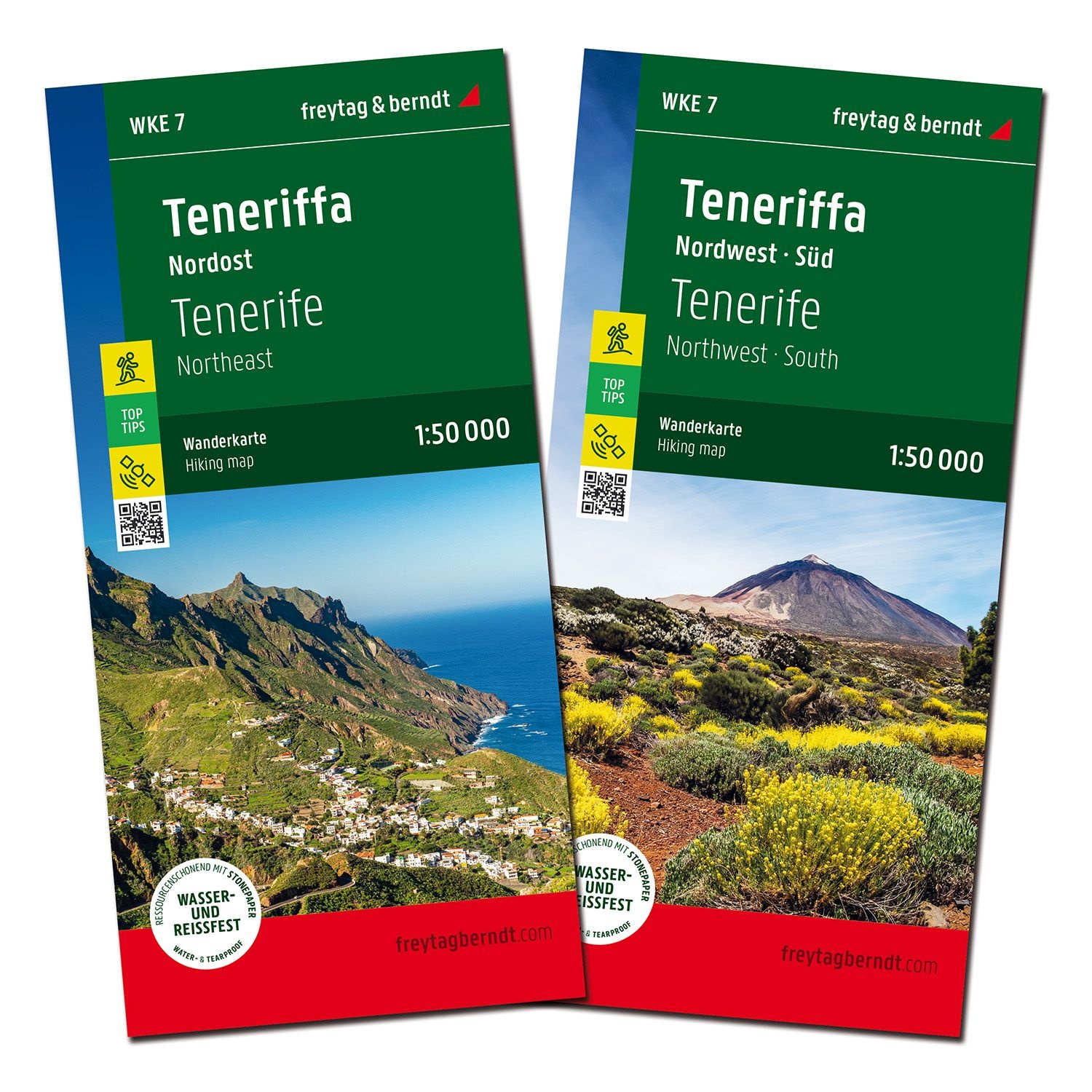
Description
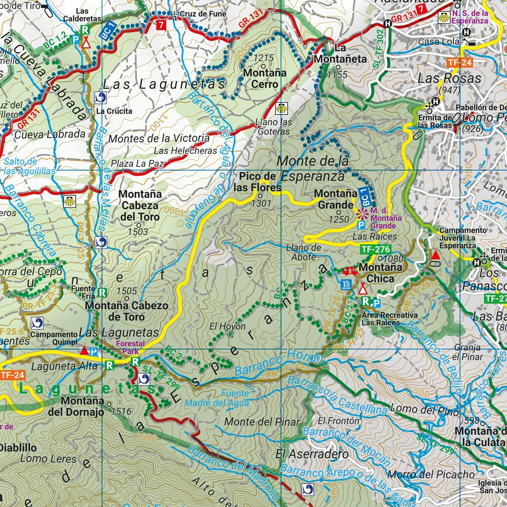
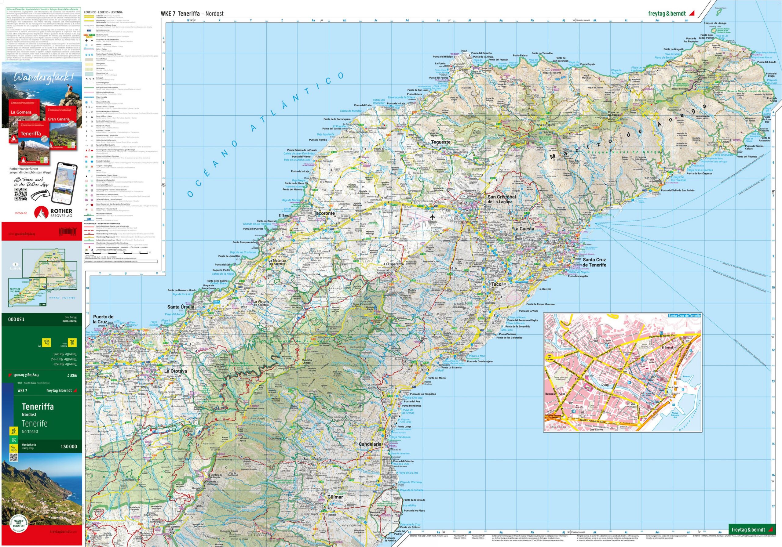
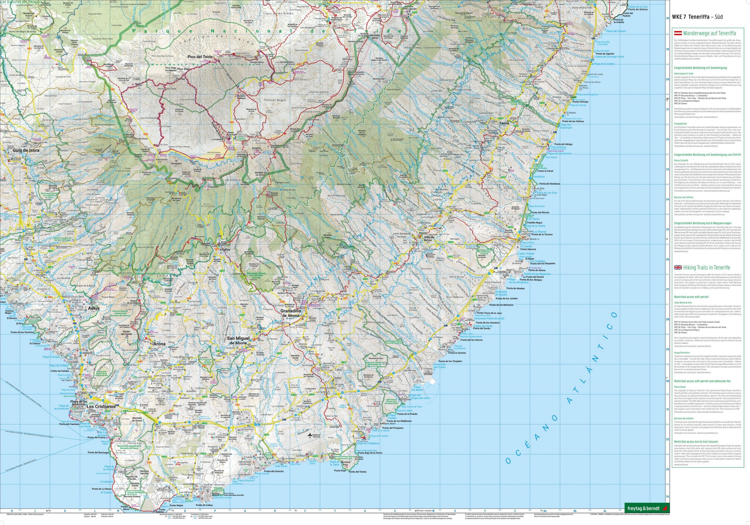
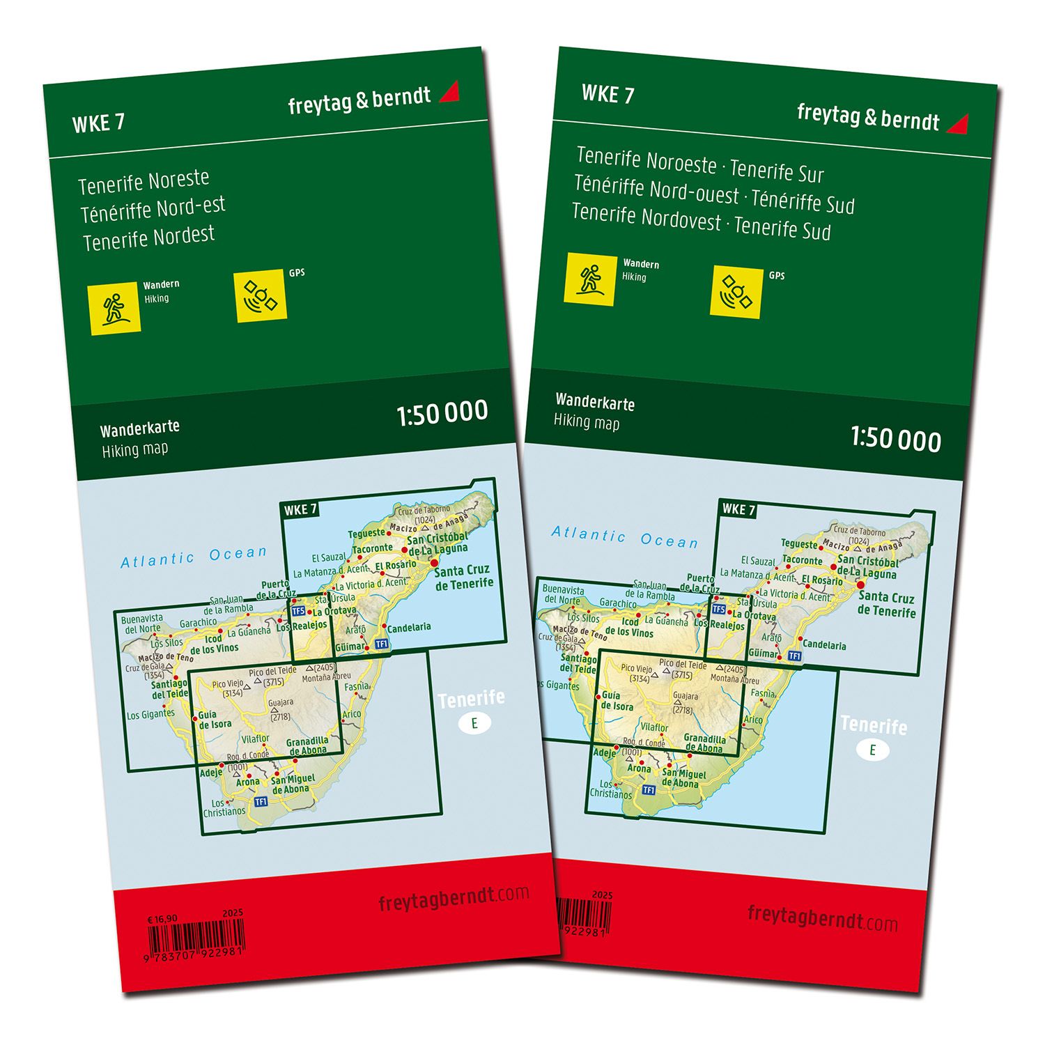
This hiking map covers Tenerife and provides a detailed overview of the island’s varied landscape and extensive network of hiking trails. The map is supplied as a set of two map sheets, which together provide full coverage of the island and a good level of detail for both planning and executing tours.
The map shows a dense network of marked hiking trails, including longer routes and local trails through different landscape types such as volcanic areas, forests, mountains and coastal zones. In addition, cycling routes and mountain bike trails are included, making the map useful for several types of activities. Tourist information and attractions are integrated into the map, providing good support for planning varied experiences.
The map is designed for active use and provides a high level of detail, making it suitable for both short trips and longer stages. It’s compatible with digital navigation solutions and is printed on water-resistant and durable material that withstands use in varying weather conditions.
Release year: 2025.