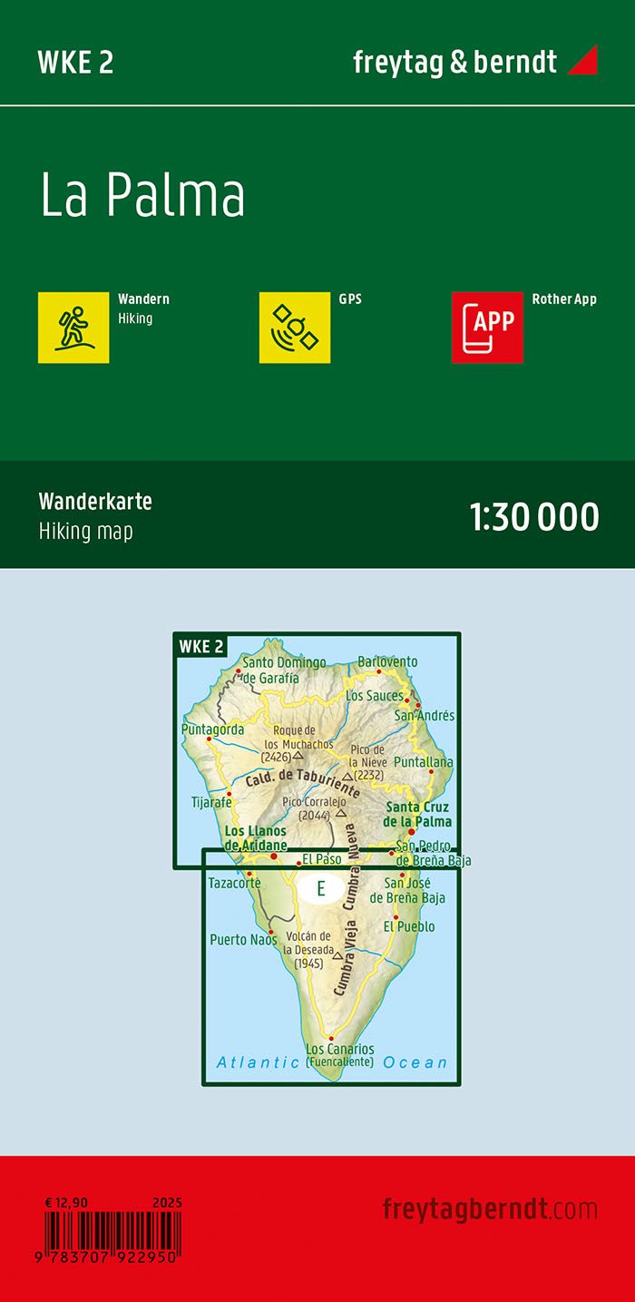
Description
This detailed hiking map covers La Palma, the northwesternmost of the Canary Islands, and provides an in-depth overview of the island’s varied landscape and extensive network of hiking trails. The map is well suited for both planning and executing hikes, providing a solid foundation for exploring the island on foot.
The map shows a dense network of marked hiking trails and long-distance routes through different types of landscape, from volcanic areas and forested mountains to open hills and coastal stretches. Important nature areas and national parks are clearly represented, and tourist information and viewpoints are integrated into the map, making it easier to plan varied trips.
The map is designed for active use and provides a high level of detail, making it suitable for longer trips and more demanding routes. It is compatible with digital solutions for route display, and the clear cartography provides good readability in varied terrain.
Release year: 2024.