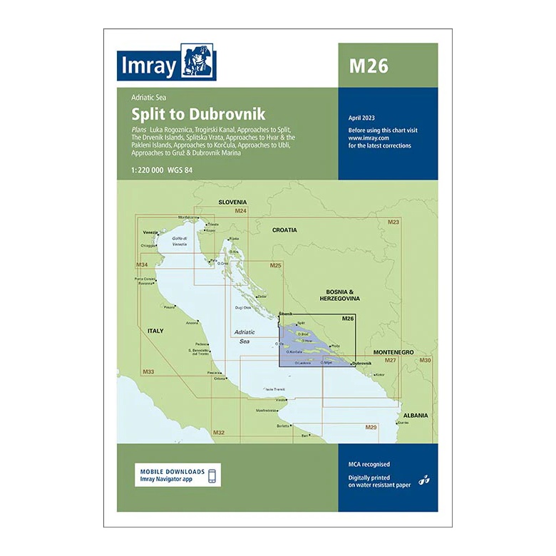
Description
This overview map from Imray covers the coastline from Split to Dubrovnik, including key sailing areas in the southern Adriatic. The map includes plan views and approaches to Split, Trogir, the Šibenik area, Korčula, Mljet and Dubrovnik, as well as key channels and passages between the islands.
Designed for passage and route planning, the map provides a clear regional overview for sailors traveling along the popular Dalmatian coast. It serves as a useful complement to more detailed coastal and harbor charts, especially for longer legs and crossings.
Printed on water-resistant paper and produced to MCA-approved standards, with support for digital updates via the Imray Navigator app.