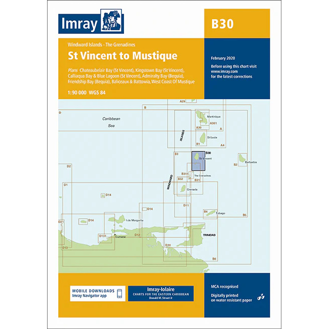
Description
This boating map covers the sailing area between St Vincent and Mustique in the Windward Islands / Grenadines in the Caribbean. The chart provides detailed plans for coastal waters, harbors and anchorages in the northern part of the Grenadines, a very popular area for island hopping and recreational sailing.
The chart includes Chateaubelair Bay, Kingstown Bay, Calliaqua Bay, Blue Lagoon (St Vincent), Admiralty Bay (Bequia) and the west coast of Mustique. The area offers short sailing distances, well-protected anchorages and stable trade winds, and the chart is well suited for both local sailing and passage further south in the Grenadines.
Imray is a recognized British chart manufacturer with extensive experience in nautical cartography for leisure and long-distance sailing. Their charts have been developed with a focus on high readability, practical navigation and clear presentation of navigation-relevant information, especially adapted to tropical sailing areas.