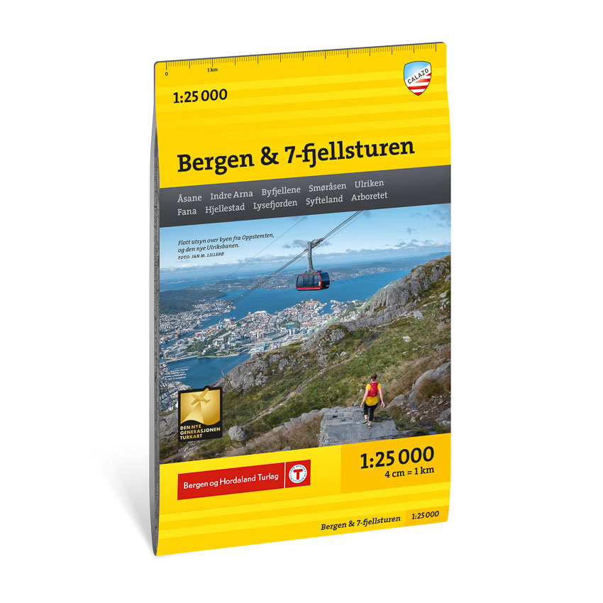
Description
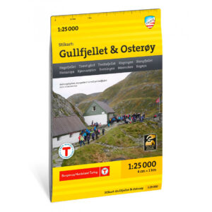
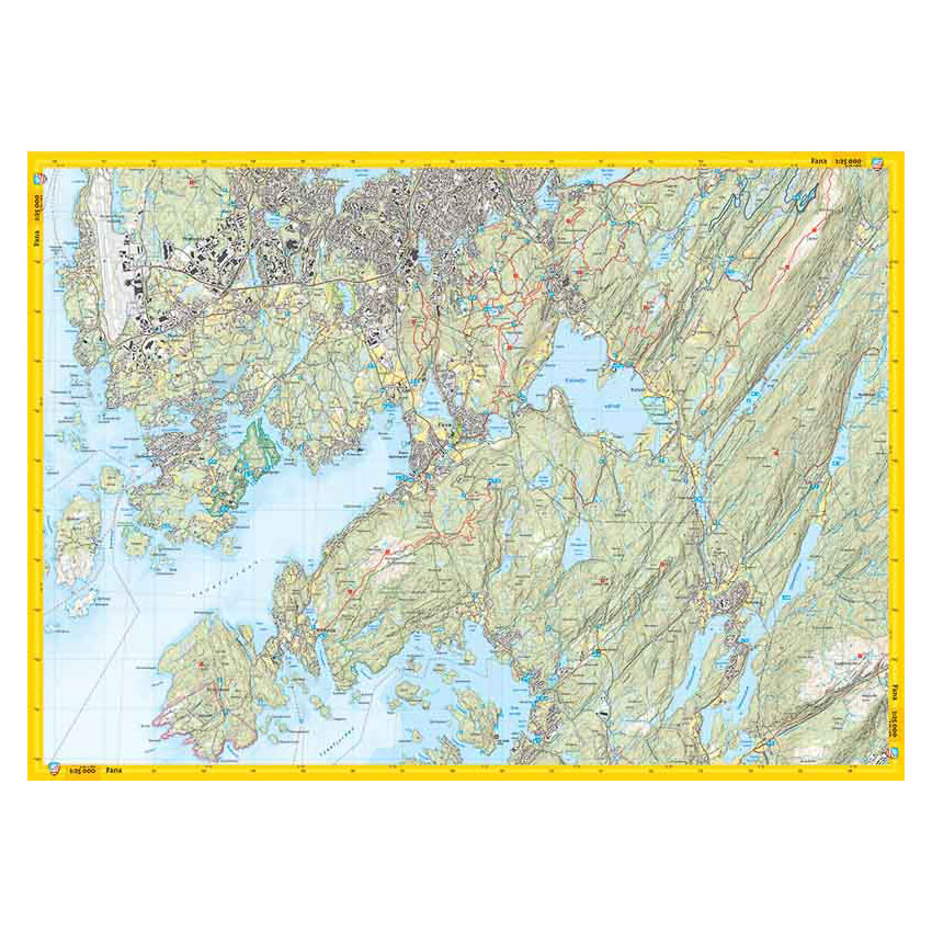
Stikart Bergen & 7-fjellsturen covers the Byfjellene mountains in Bergen, one of the country’s most used hiking areas with great variation in terrain and landscape. The map covers a larger area than previous editions and provides a good overview of both the most famous peaks and lesser-used trails in the area.
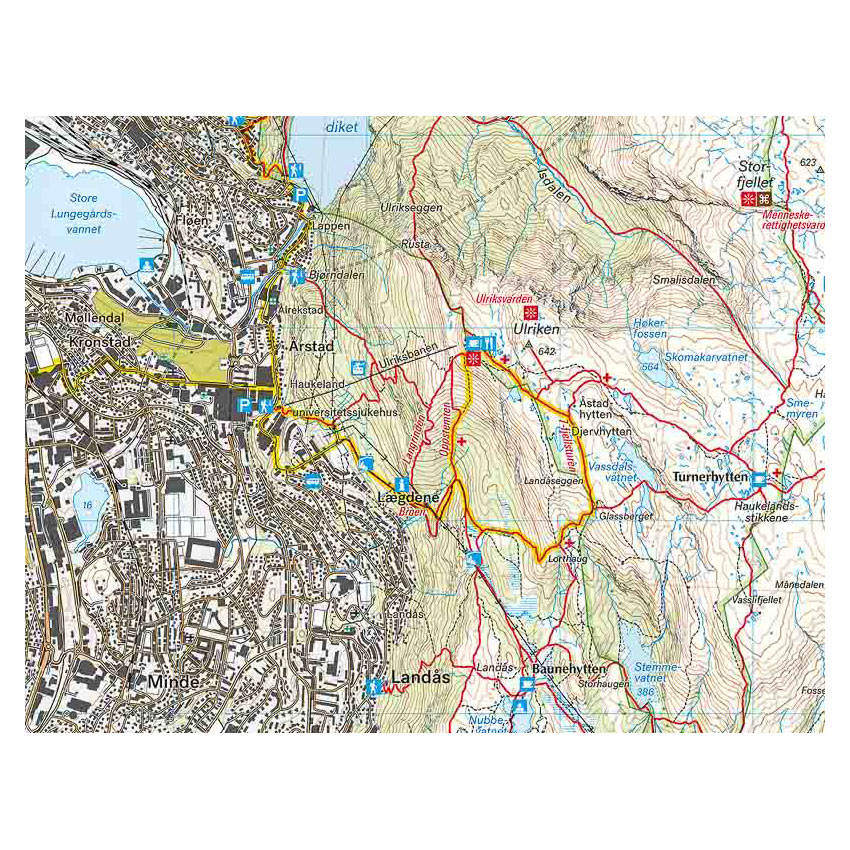
The classic 7-mountain hike is clearly marked on the map. The tour is around 35 km long and has a total ascent of approximately 2,400 meters. The route provides a comprehensive experience of Bergen and the central city mountains, and the map makes it easy to plan the stages along the way.
The map is at a scale of 1:25,000. At this scale, 4 cm on the map corresponds to 1 km in the terrain. This provides a detailed and precise representation of paths, contours and terrain shapes. The terrain information is based on detailed elevation data, giving a clear picture of the landscape. The map shows marked hiking routes, ski trails, bathing areas and kayak and canoe launch sites, and is well suited for year-round use. The map is printed on both sides and has a format of 70 × 100 cm.
Calazo Förlag is a Swedish publishing house specializing in maps and books for outdoor life in the Nordic region.
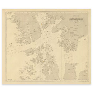
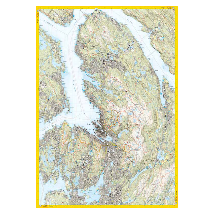
Here you can see the area the map covers:
The map is released in 2025.