


Description
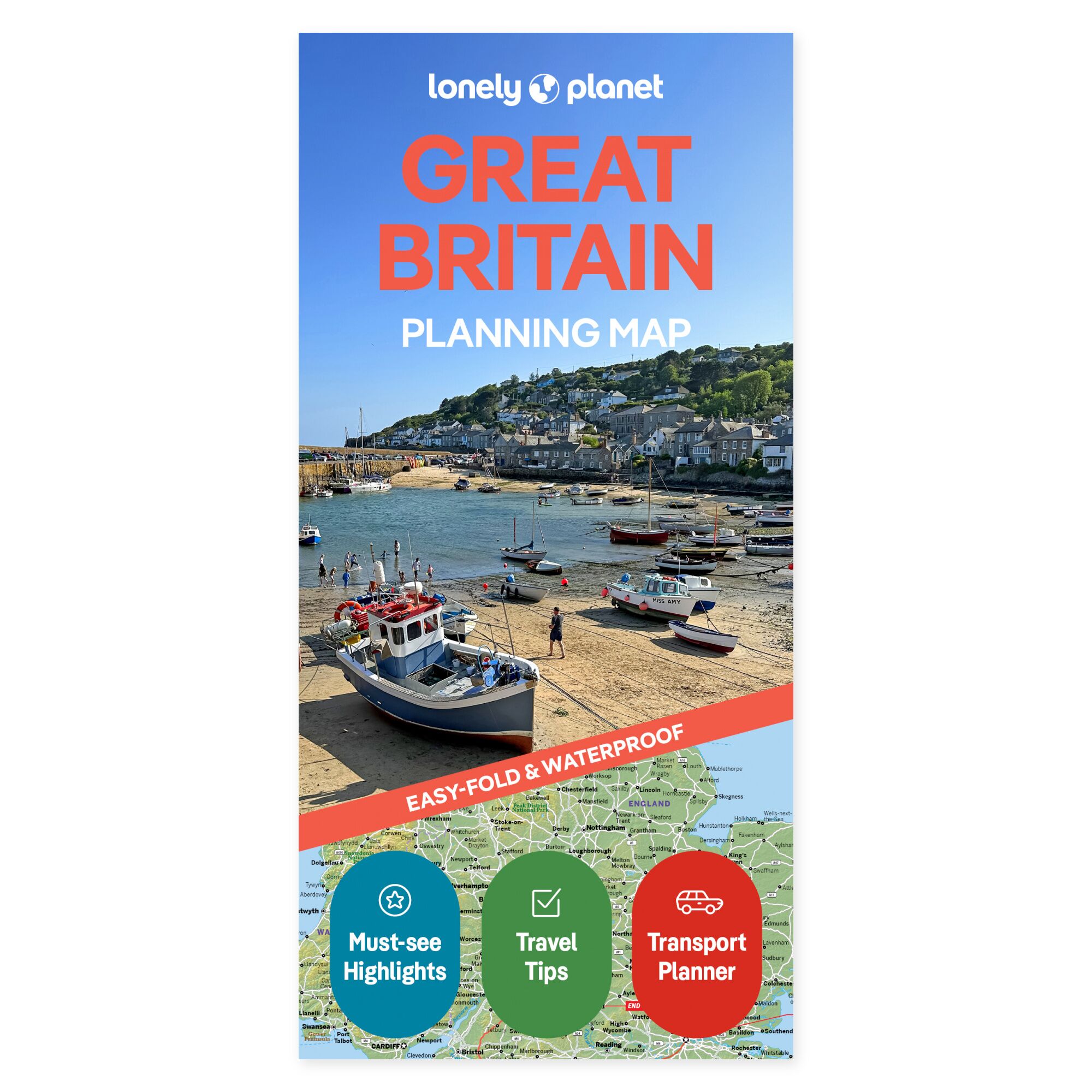
See the possibilities on the map. Let your journey through Great Britain take the direction that suits you. Lonely Planet’s planning map makes it easier to see potential stops in context, whether your holiday covers several regions or focuses on a few areas with plenty of time at each location.
Plan your own trip. The map’s coverage includes London, Canterbury, Cambridge, Oxford, the Cotswolds, Cornwall, York, the Lake District, Cardiff, Pembrokeshire, Eryri, Edinburgh, Glasgow, and Skye. It features a grid, transport information, and travel inspiration. Use it to discuss the sequence of your stages and let the experiences you desire most guide the rest of your plan.
Made to be taken along. The folded map is water-resistant and easy to unfold. You get a physical overview that can be used both before departure and during the trip, without having to pull out a screen. Lay the map out with your travel companions and see how the places you wish to visit are situated in relation to one another.
Feel free to choose a few main stops and use the overview to investigate possible detours. The map can remain out while you discuss the next stage, or be brought along when plans are to be followed during the journey.
About the edition. Map with English text, published 2025. 2nd edition. ISBN 9781787015722.
