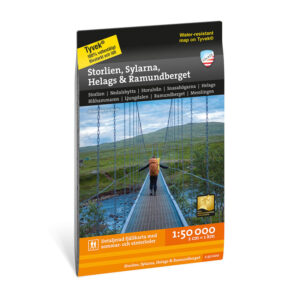

Description
Storlien Sylarna Helags Ramundberget covers the mountain areas in western Jämtland and northern Härjedalen, including popular hiking areas such as Jämtlandstriangeln, Helags and Ramundberget. The map provides a comprehensive overview of one of Sweden’s most used high mountain areas, with both marked trails and more demanding mountain terrain.
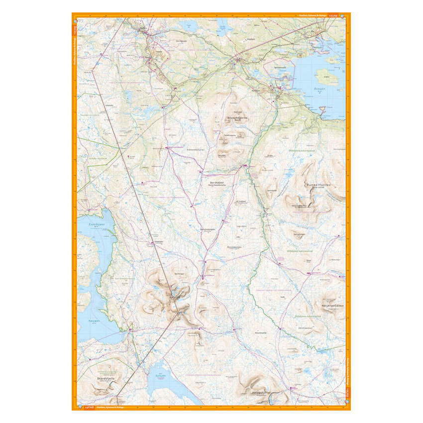
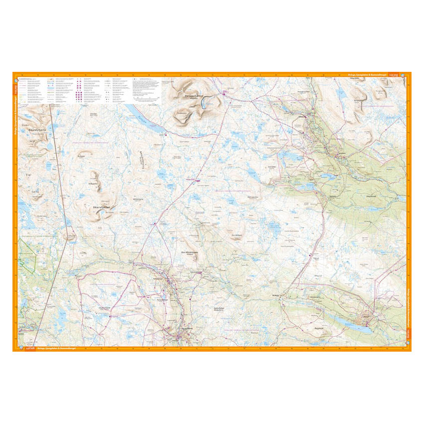
One side of the map is centered around the Jämtland Triangle hiking route between Storulvån, Sylarna and Blåhammaren. In addition, Snasahögarna, Bunnerfjällen and Gåsen are shown. The other side covers the area south towards Helags, Ljungdalen, Flatruet and Ramundberget. The map provides a precise representation of trails, contours, water, moorland, buildings and challenging terrain.
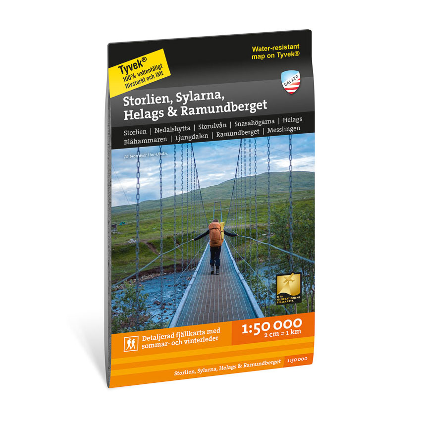
The map is at a scale of 1:50,000, which is the most common scale for longer mountain hikes. At this scale, 2 cm on the map corresponds to 1 km in the terrain. The terrain information is based on detailed elevation data, which provides a clear and precise representation of the landscape.
The map is printed on Tyvek®, a durable and water-repellent material that can withstand demanding use in the mountains and is well suited for multi-day trips.
Calazo Förlag is a Swedish publishing house specializing in maps and books for outdoor life in the Nordic region.
Here you can see the area the map covers:
The map is released in 2021.