Description
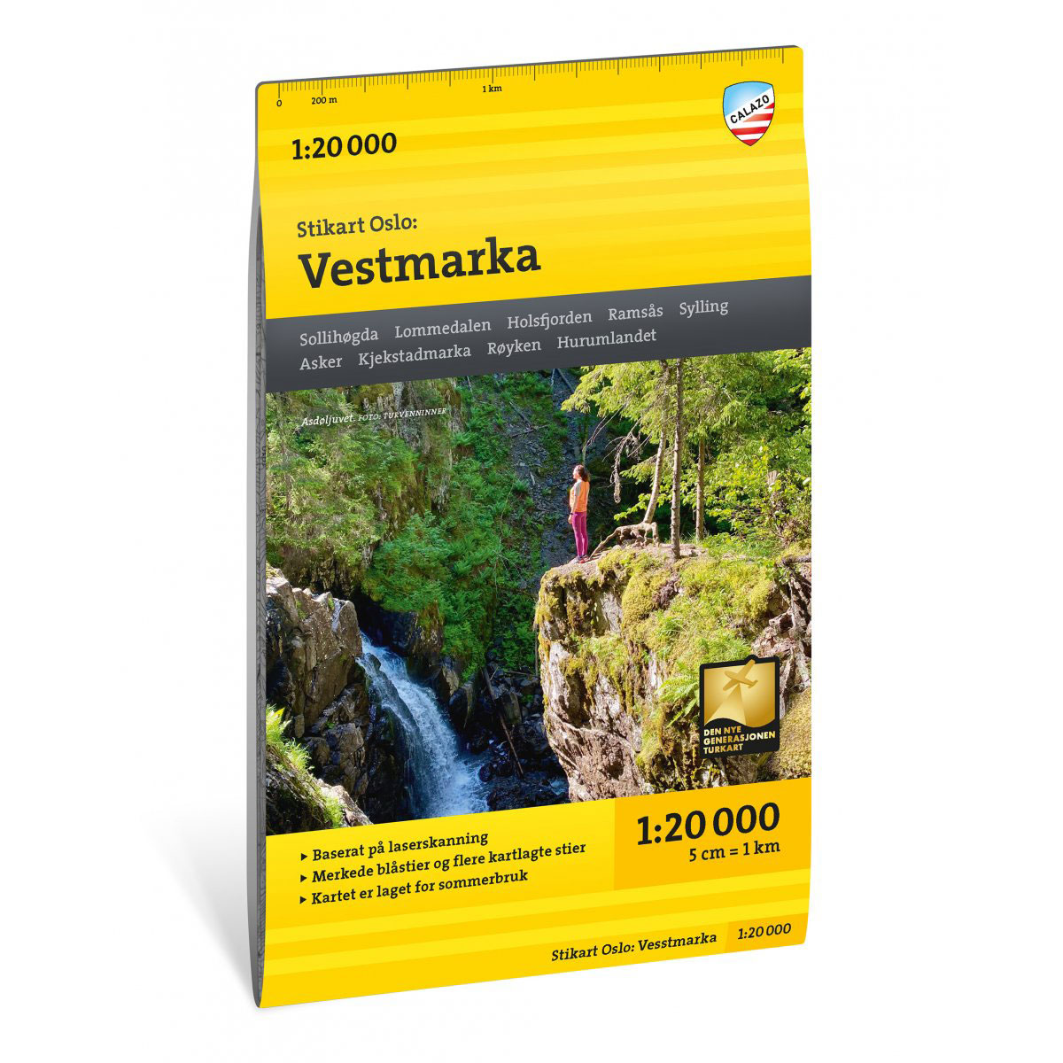
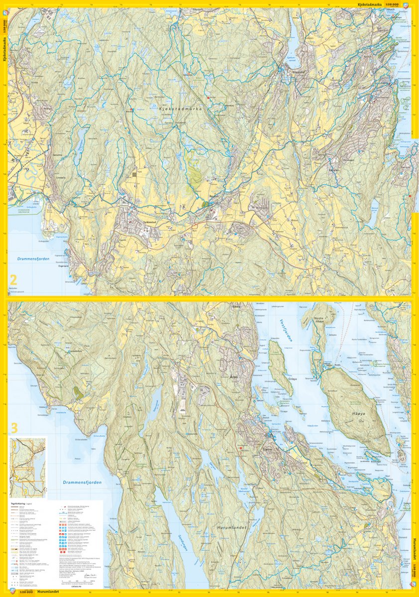
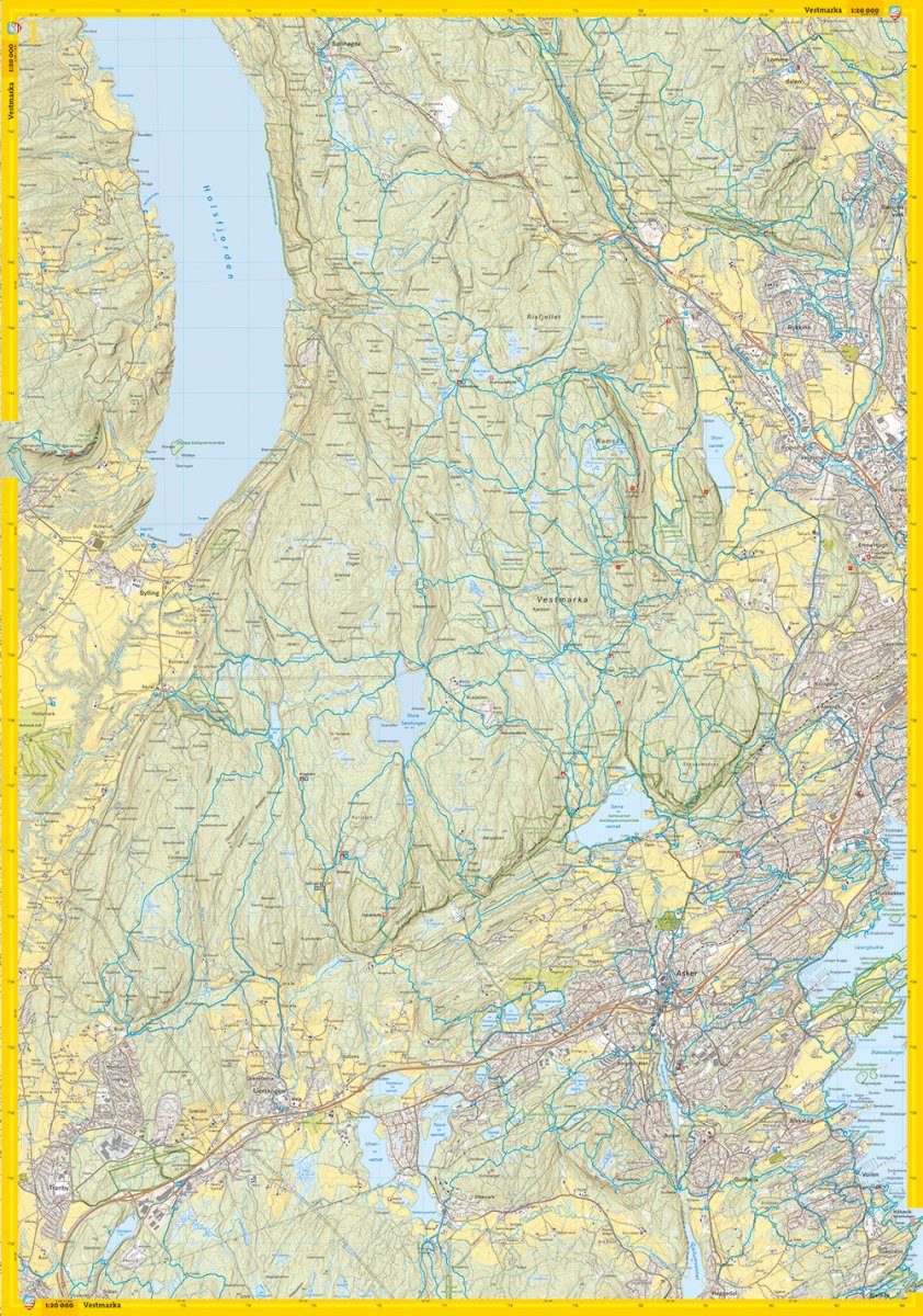
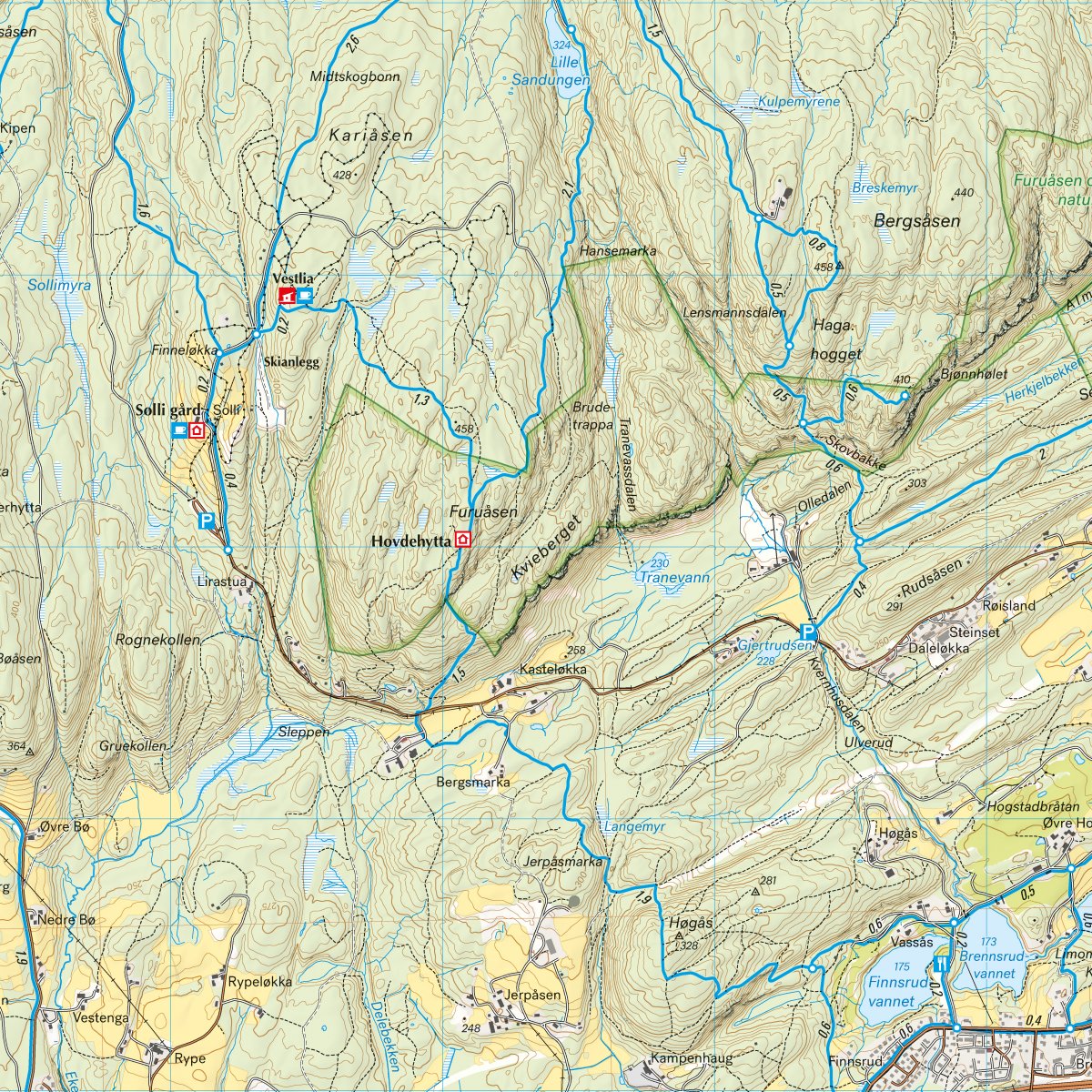
Stikart Oslo: Vestmarka is one of four maps at a scale of 1:20,000 covering Oslomarka. The map has been developed with input from key hiking and outdoor recreation stakeholders in the region and provides a detailed overview of the trail network in Vestmarka.
Vestmarka is a widely used hiking area with a dense network of trails. The map shows both main trails and less-used connections, and provides a good basis for planning hikes, runs and trail biking. The terrain information is based on detailed elevation data and provides a precise representation of contours, water and landscapes, making it easier to find your way in hilly forest terrain.
The map is at a scale of 1:20,000, which gives a very detailed picture of the terrain. At this scale, 5 cm on the map corresponds to 1 km in the terrain.
Calazo Förlag is a Swedish publishing house specializing in maps and books for outdoor life in the Nordic region.
The map is released in 2024.