


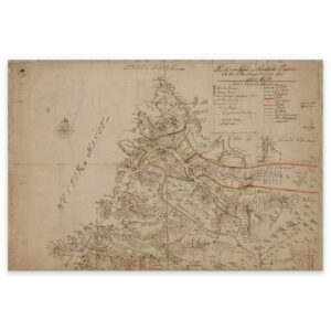
 Stryn 1771
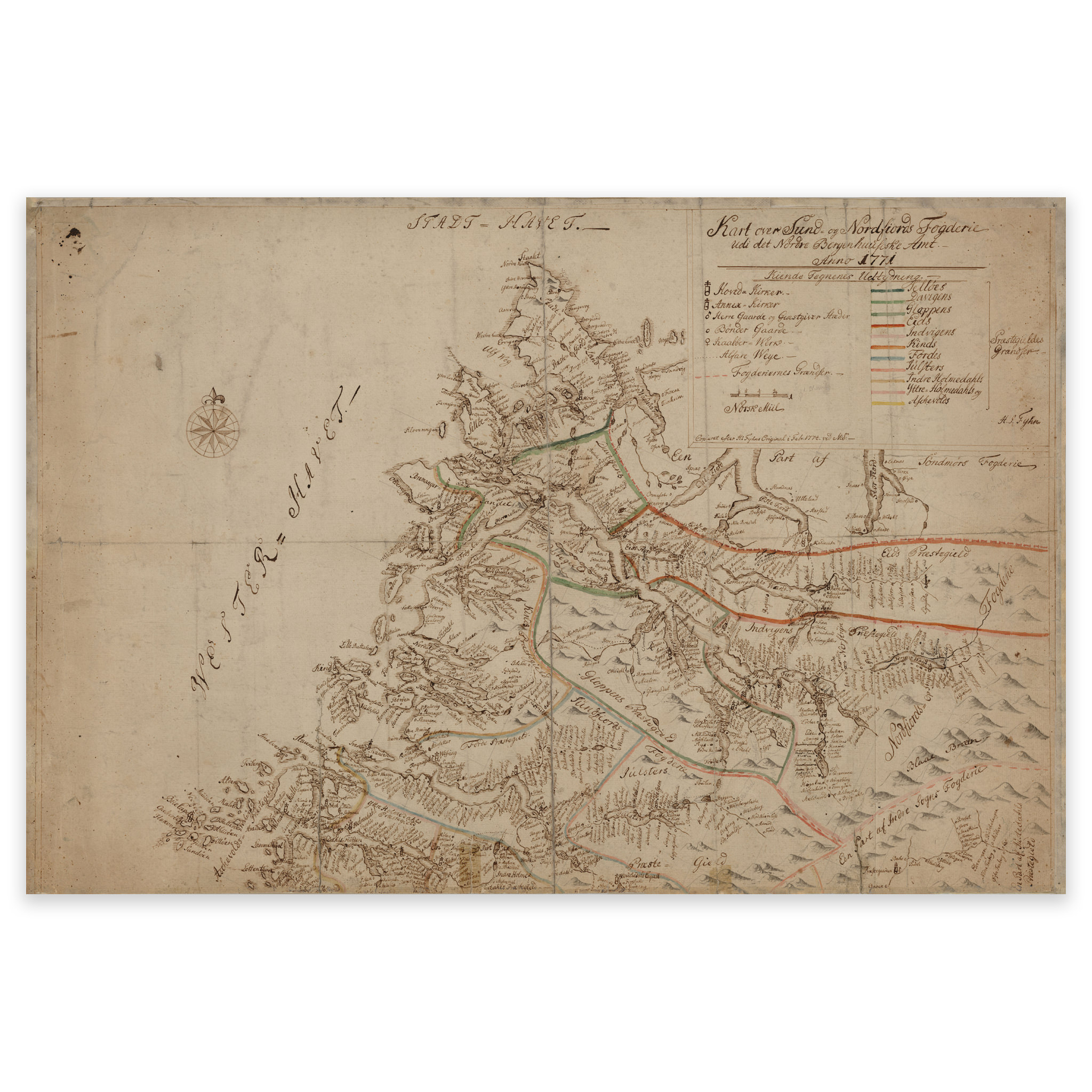


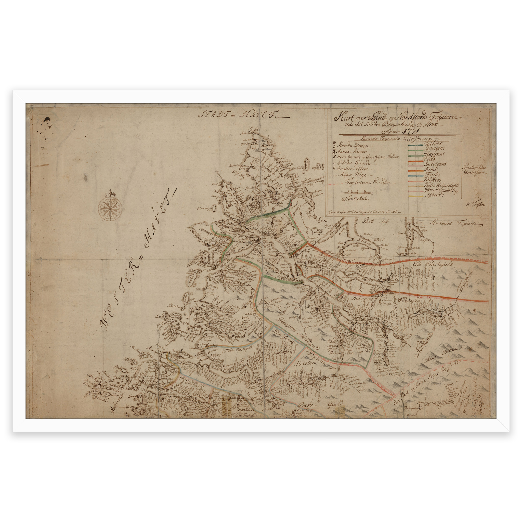


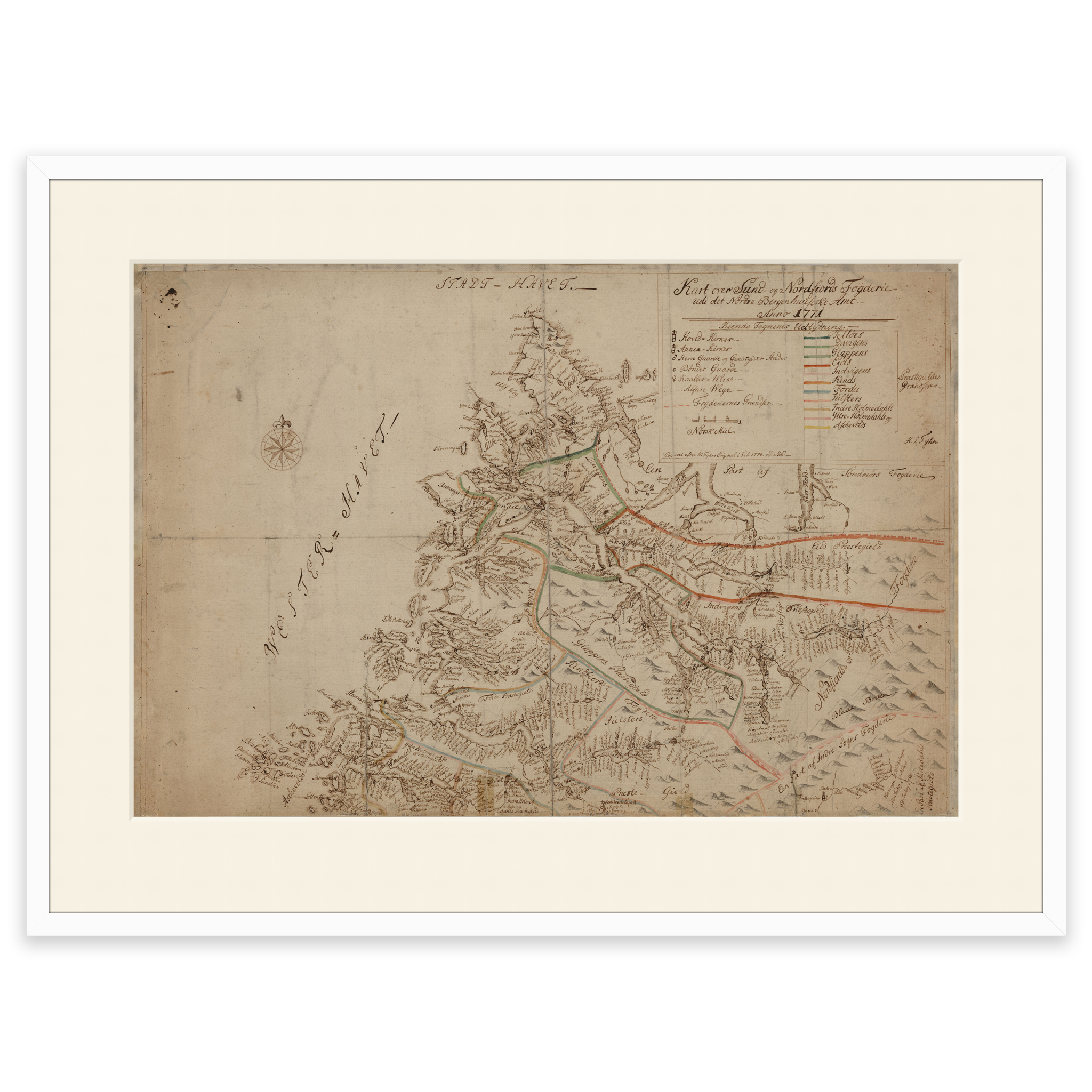

Stryn 1771
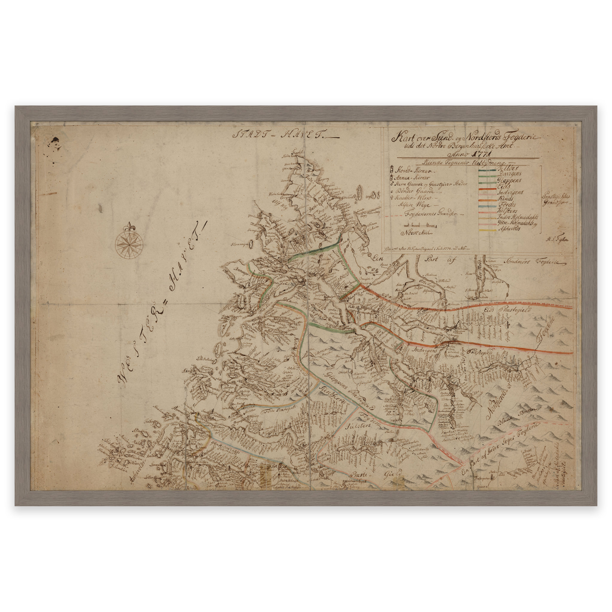
H. I. Fyhn hand-drew this map of Stryn, Jostedalsbreen and the coast from Stad up to and including Alden and Værlandet in 1771. The original size of this map is approximately 72 x 48 cm. The map is delivered in its original size of 72.1 x 48.3 cm. The size with frame and passe-partout is 90.1 x 67.3 cm. Do you want the map in a different size? Just get in touch – we’ll be happy to give you a quote for customization.