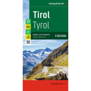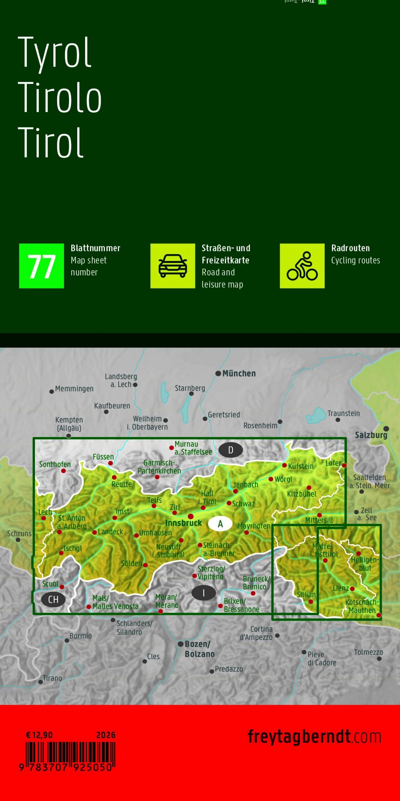
Description
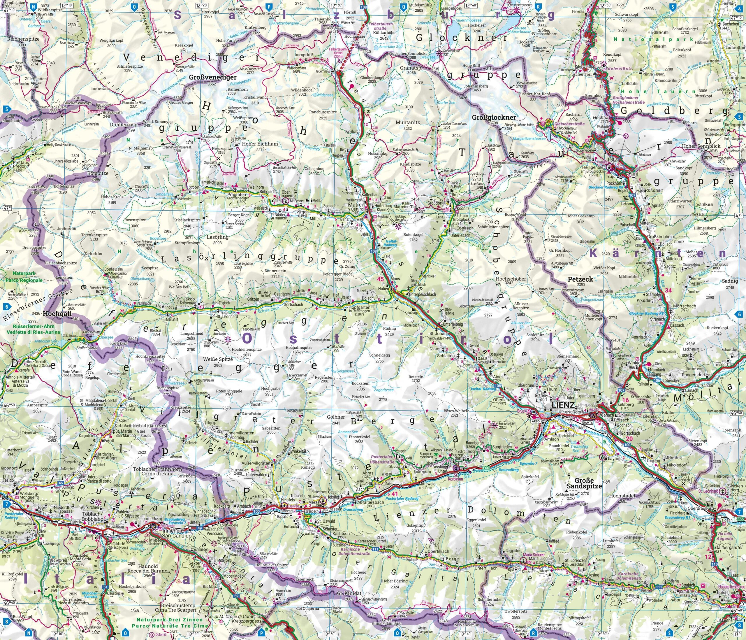
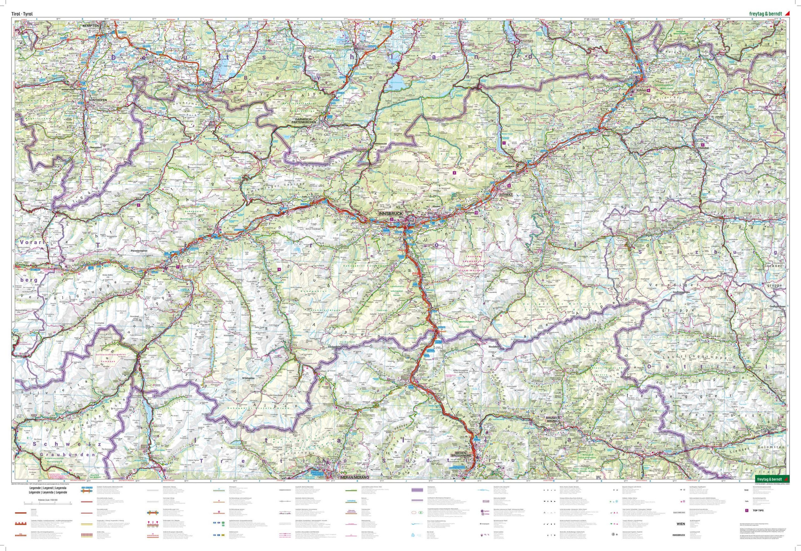
Tyrol – Road and Hiking Map is a detailed travel map of Tyrol in Austria at a scale of 1:150,000, designed for road trips, cycling tours, vacation planning, and exploring the Alps. The map covers the entire Tyrol region, including well-known areas such as Innsbruck, Kitzbühel, Kufstein, Landeck, Reutte, and East Tyrol.
The map combines a clear road network with useful tourist information, including attractions, bike routes, campgrounds, and RV parks. The detailed scale makes the map well-suited both for driving between cities and for exploring smaller towns, mountain areas, and nature experiences along the way.
The map includes a comprehensive index of locations with ZIP codes, as well as a city map of Innsbruck. It also includes practical travel information with selected tips and recommendations for the area.
The map is published by Freytag & Berndt, one of Europe’s leading map publishers specializing in travel, road, and recreational maps. This is a double-sided, folded map in a convenient format that’s easy to take with you in your car, RV, or on your trip.
The map was published in 2026.