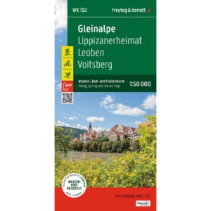
Description
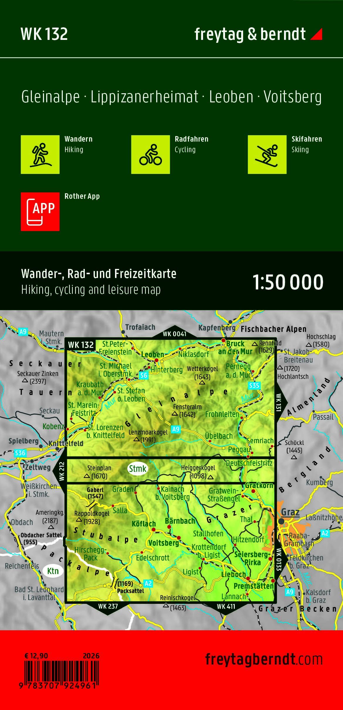
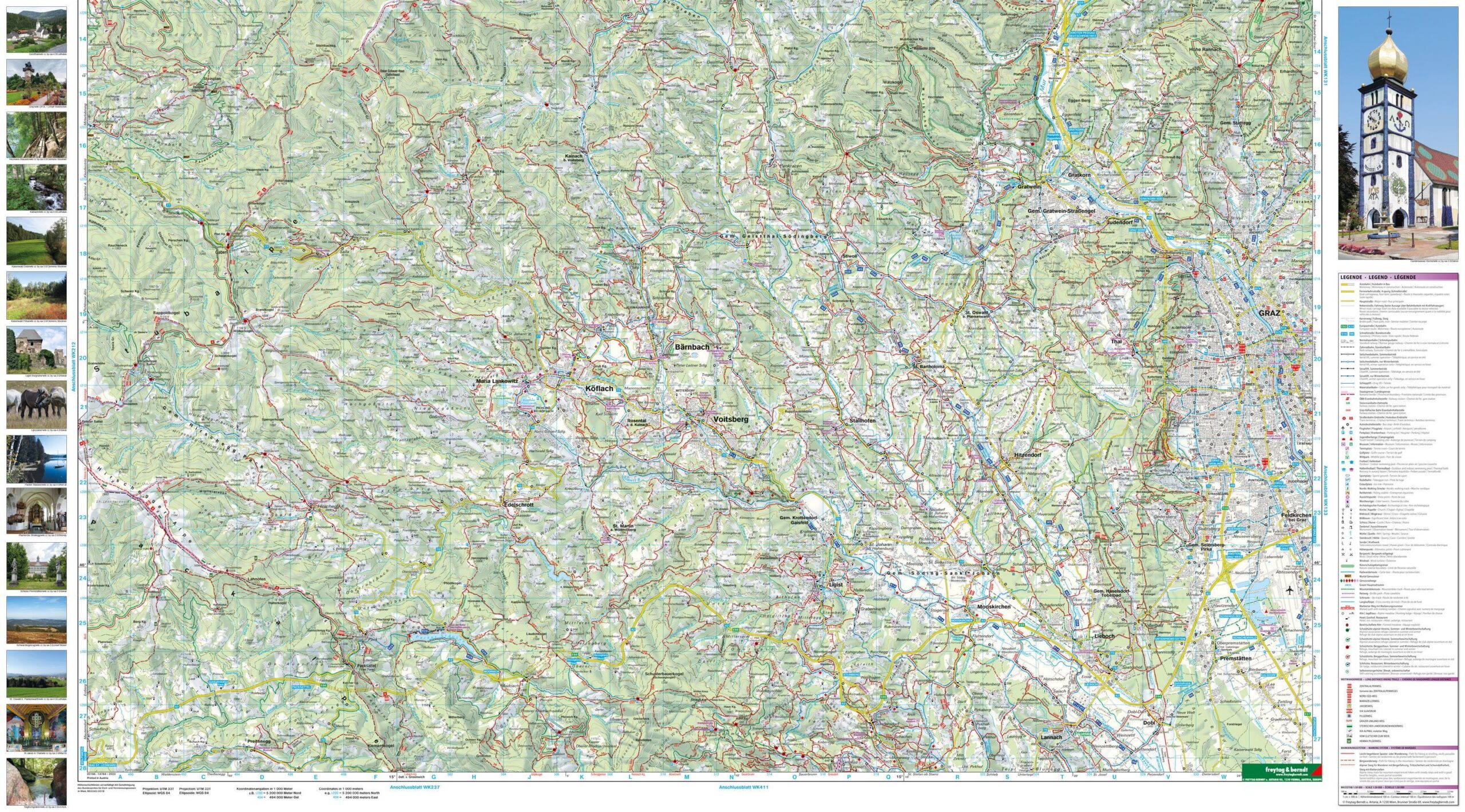
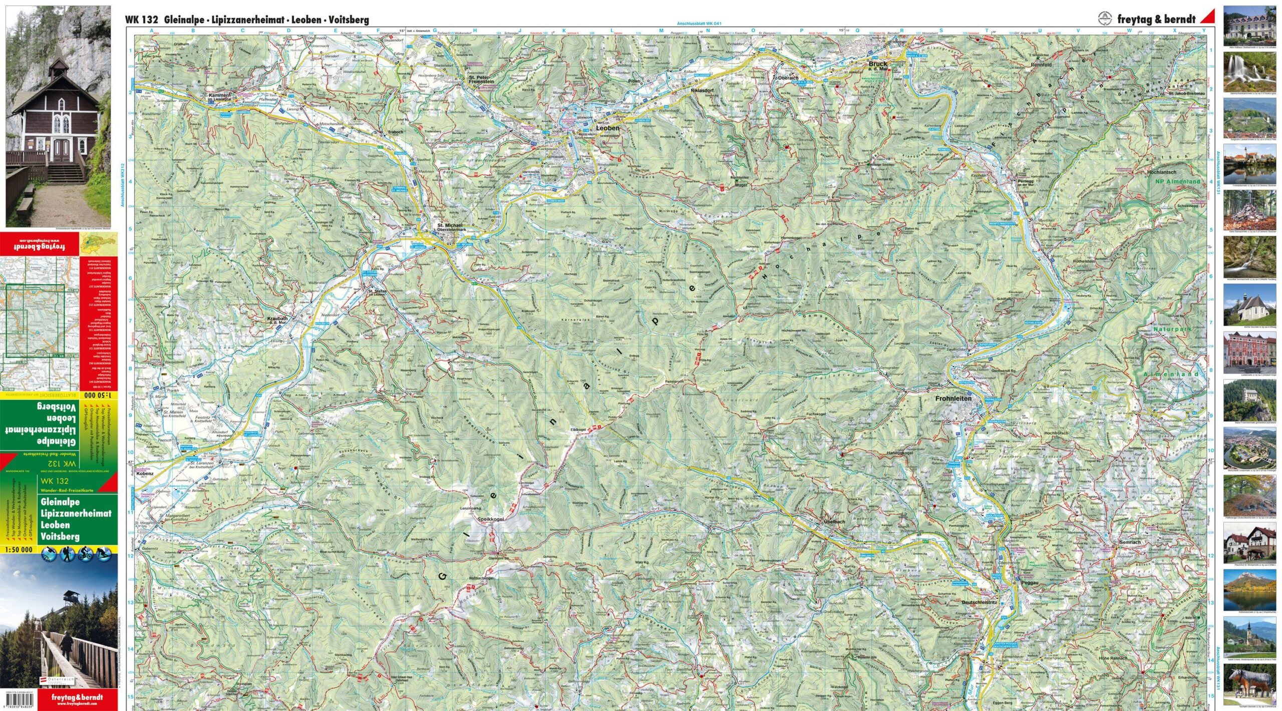
Gleinalpe – Hiking and Biking Map is a detailed map of the Gleinalpe region in Styria, Austria, at a scale of 1:50,000. The map covers, among other areas, the regions around Leoben, Voitsberg, and Lipizzanerheimat, and is designed for hiking, biking, and outdoor activities.
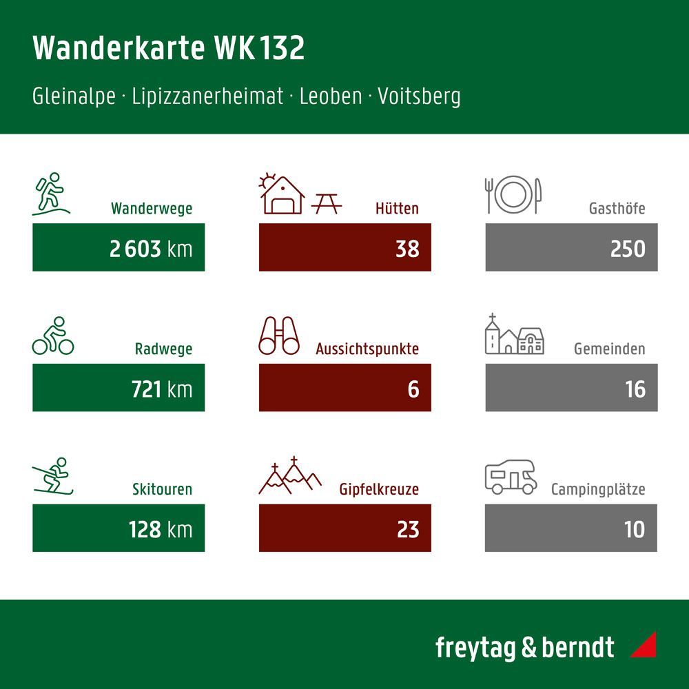
The map shows marked hiking trails, long-distance trails, bike routes, and mountain bike trails, as well as useful tourist information for planning activities in the area. In addition, the map includes information on ski trails and cross-country ski trails for use throughout multiple seasons.
The map features a GPS grid and comes with a handy information guide. It is made of a durable material that is both water-resistant and tear-resistant, making it well-suited for use on outdoor trips.
The map is published by Freytag & Berndt, one of Europe’s leading publishers of hiking, cycling, and recreational maps. This is a double-sided, folded map in a convenient format that’s easy to carry in a backpack or bike bag.
The map was published in 2026.