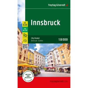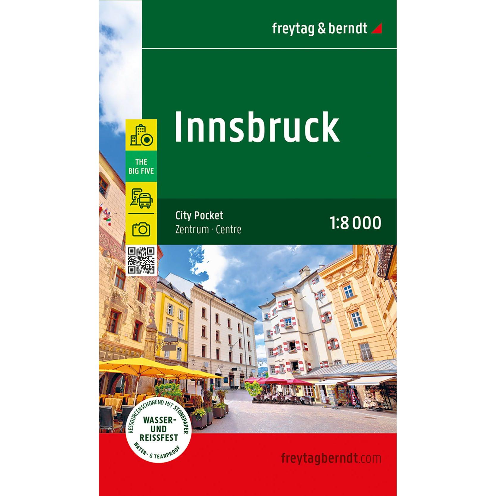
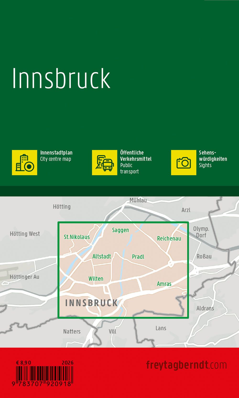
Description
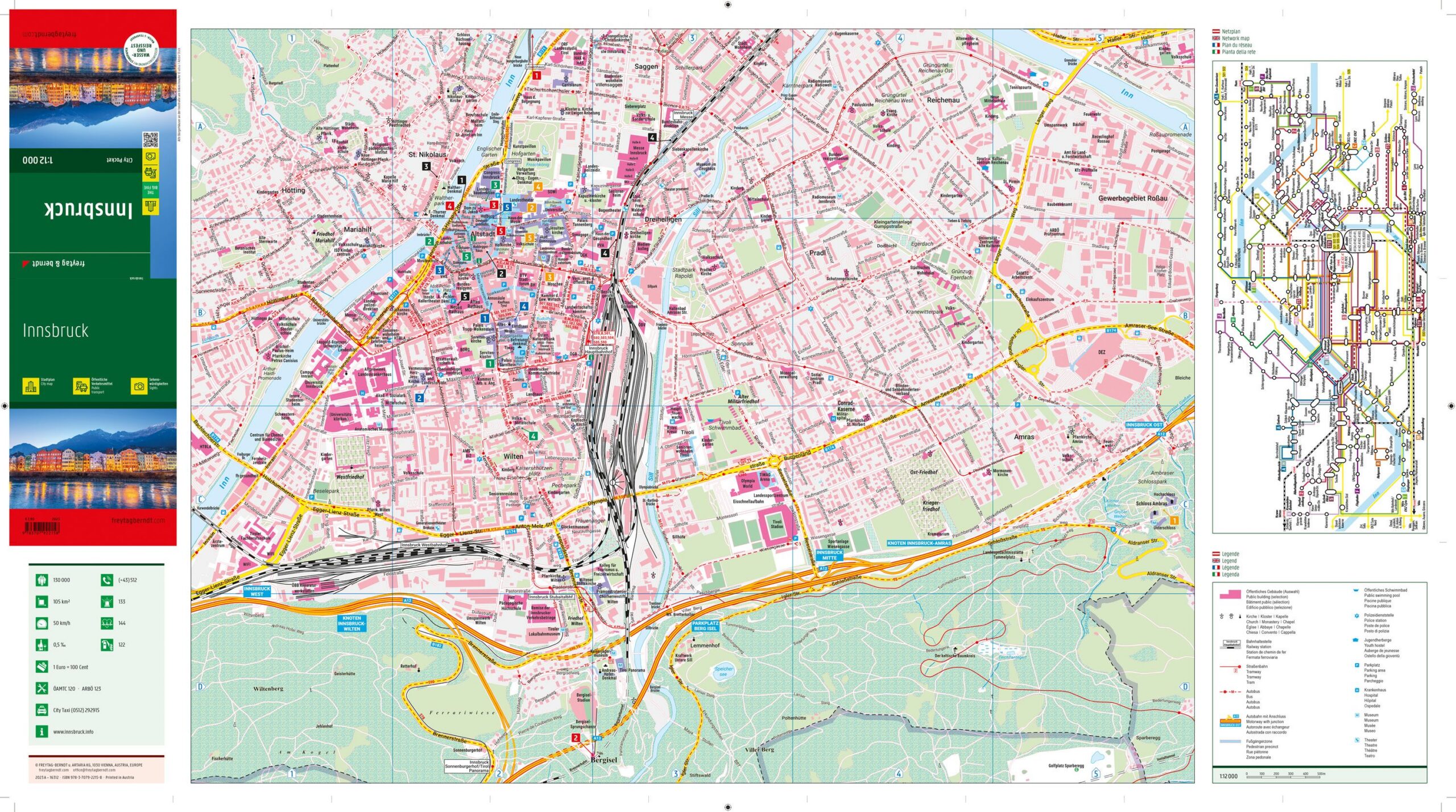
This detailed city map covers the center of Innsbruck and provides a precise and clear representation of the city center. The map is developed in a compact format that makes it easy to carry around and is suitable for both planning and orientation when moving around the city.
The map depicts the street grid, key squares and central areas of Innsbruck city center, making it easy to find your way between sights, shops and other destinations. In addition, the map contains information about public transport and a street and place index that makes it easier to navigate efficiently. The back of the map also contains useful information about cultural offerings, restaurants and attractions, providing extra value for visitors.
The map focuses on the inner city and therefore provides a detailed representation of the city center rather than the entire urban area. It is printed on durable, water-resistant and tear-resistant material, making it well suited for outdoor use in different weather conditions.
Release year: 2026.