
Description
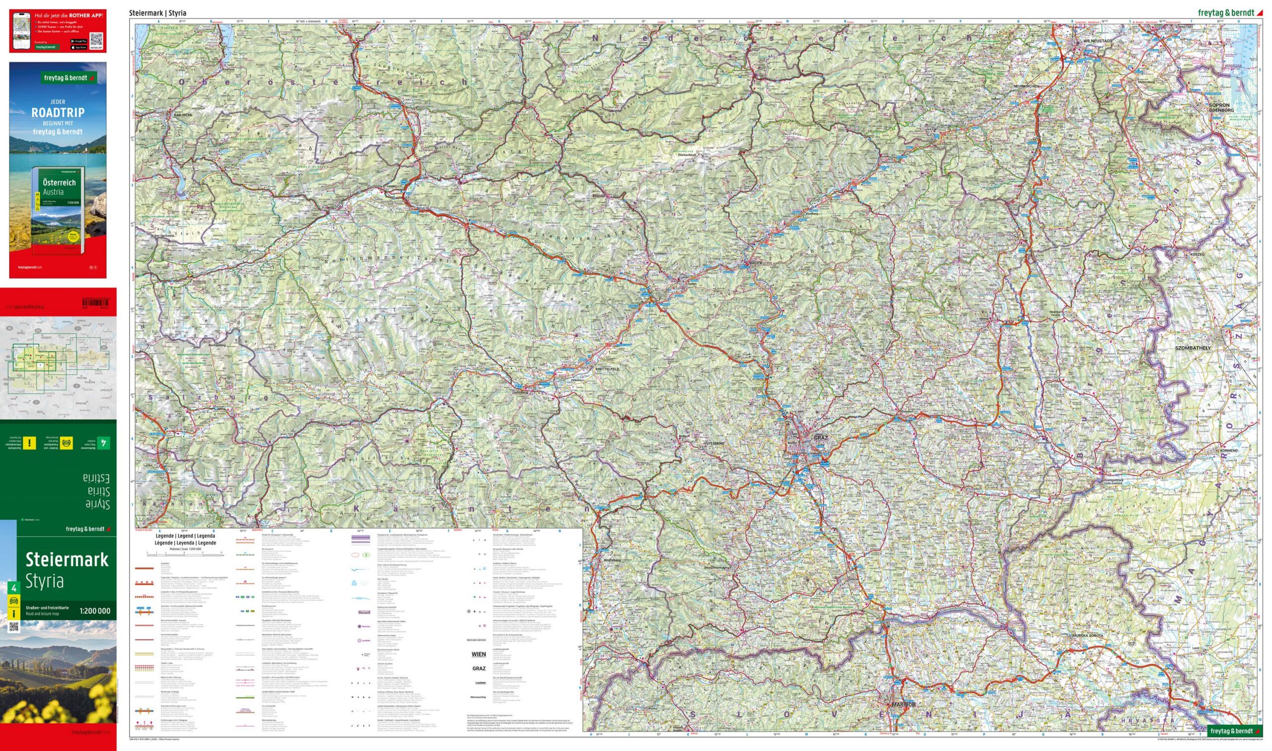
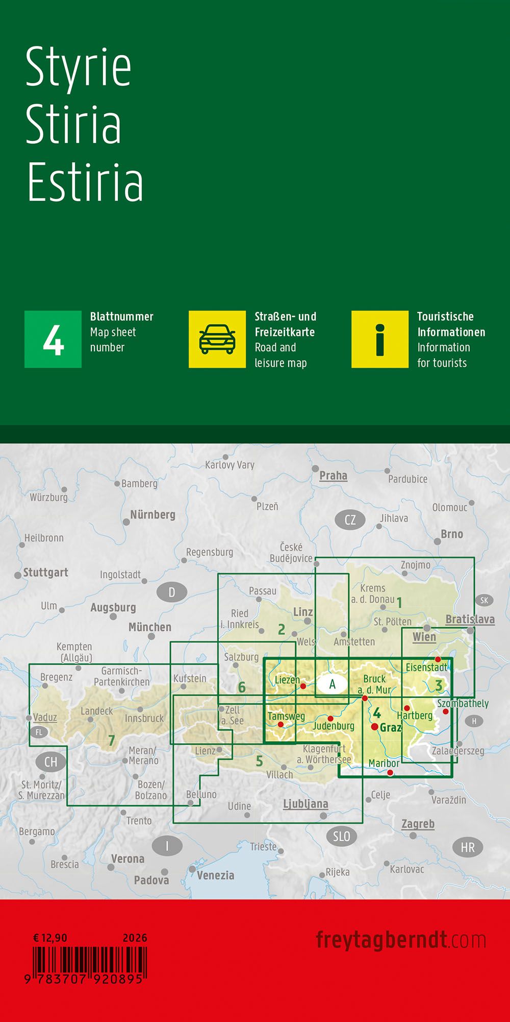
This road map of Styria provides a clear and detailed representation of the region in southeastern Austria, suitable for travel by car, motorcycle and motorhome. The map shows a dense and precise road network with clear indication of cities, towns and connections, making it easy to plan routes and orientate yourself along the way. In addition, a number of tourist destinations and excursion sites are marked, making the map well suited for vacation use and exploration of the region. The cartography is easy to read and structured, and also includes an overview of campsites and caravan parks, as well as a place index with postcodes. The map is part of the map series Austria 1:200 000 and covers Styria as a separate sheet. Year of publication: 2025.