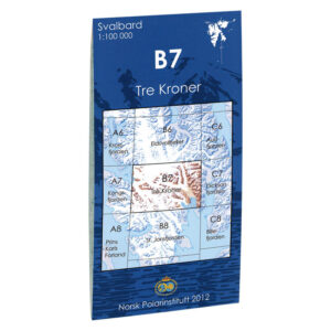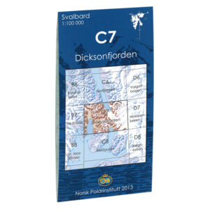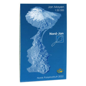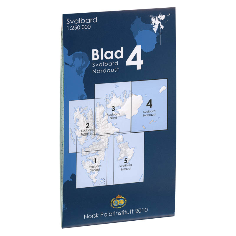
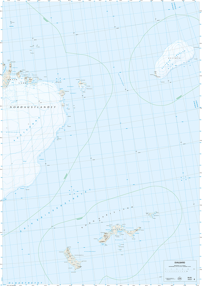
Description
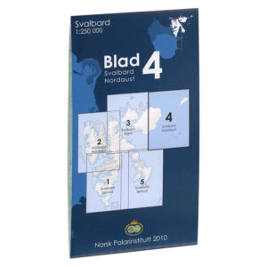
Svalbard Nordaust is part of the Norwegian Polar Institute’s map series of Svalbard at a scale of 1:250000. The map covers a large geographical area and provides a comprehensive representation of terrain shapes, glacier areas, fjords and coastline.
The scale 1:250000 provides a good regional overview. The map was published in 2010.
The Norwegian Polar Institute is a directorate under the Ministry of Climate and Environment. The Institute’s activities are focused on environmental management needs in the polar regions. It provides scientific knowledge, surveys and gives professional and strategic advice to Norwegian authorities. The Norwegian Polar Institute is present in the Arctic and Antarctic, operates research stations, conducts expeditions and owns the research vessel “Kronprins Haakon”. The institute is the environmental authority for Bouvetøya and for Norwegian activities in Antarctica.
Kart.no is the official retailer of maps from the Norwegian Polar Institute.