Description
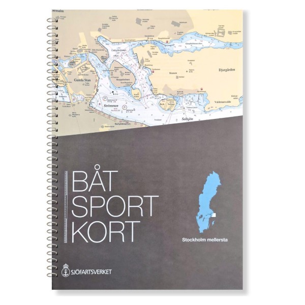
The boating maps are extracts from the official archipelago maps and are designed in a practical format that makes them particularly suitable for navigation in smaller leisure boats. This map covers Stockholm Mellersta, the central part of the Stockholm archipelago, and provides a clear and detailed basis for safe navigation between islands, straits and waterways.
The map is delivered in the most recent and updated version at all times, based on current map data from the Swedish Maritime Administration. This ensures that changes in fairways, depths, markings and other nautical conditions are correctly reproduced. The maps have a scale that provides a good balance between overview and detail, and include necessary sections where this is navigationally relevant.