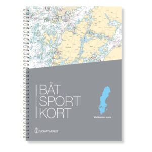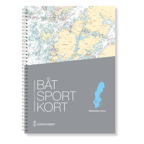
Description
This NV Charts map covers the northern part of Sweden’s west coast, from Svinesund at the Norwegian border to Måseskär. Specially designed for recreational boaters, it provides a detailed navigational basis for coastal waters. The series contains nautical details at several scales and includes important points of interest, harbor plans and detailed information. The chart is delivered in the latest and updated edition from NV Charts, based on the most accurate and up-to-date data available.