Description
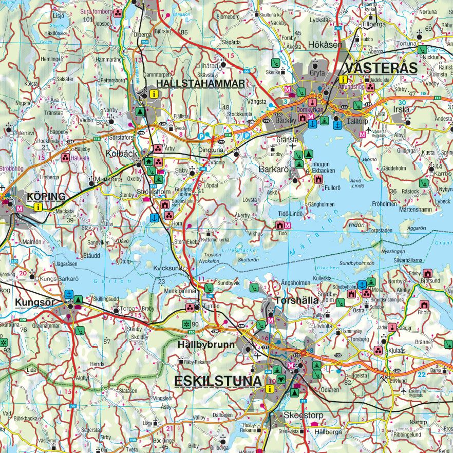
This is a detailed road map of southeastern Sweden at a scale of 1:250,000, designed for practical use in travel, planning and orientation. The map covers the area around Stockholm, Uppsala and Linköping, with a clear and concise road network where both major and minor roads are accurately depicted. Distances are indicated and important tourist destinations and sights are marked.
The map includes campsites and caravan sites, making it ideal for travelers with a motorhome or caravan. Also included are city maps (cityplan) for Stockholm, Uppsala and Linköping, providing an extra detailed overview in and around the urban areas. A comprehensive place index with postcodes makes it easy to find smaller places and addresses.
The region offers a varied combination of historic urban environments, lakes, cultural landscapes and modern city life. Stockholm impresses with its islands and historic city center, Uppsala with its long academic tradition, and Linköping with a vibrant cultural and student environment. The map provides a solid foundation for both short excursions and longer journeys in the region.
The map is sheet 3 in the map series Sweden from freytag & berndt, which in total consists of five regional maps.
The map is printed in Austria and was published in 2022.