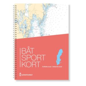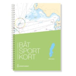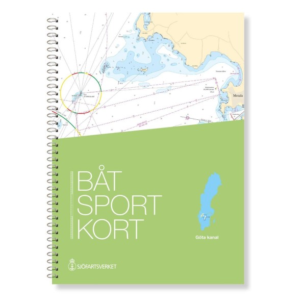
Description
The official Swedish boating map Göta Canal covers one of Sweden’s most iconic waterway systems, with the Göta Canal, Trollhätte Canal, lakes Vättern and the southern part of Vänern. Carefully prepared for recreational boaters, the map provides detailed navigation information and a good overview of the entire route.
Official map data from the Swedish Maritime Administration
This boating map is an extract from the official Swedish “archipelago maps” and is based on the latest map data from the Swedish Maritime Administration. This ensures that changes in fairways, markings, depths and other nautical conditions are accurately reflected in the latest version at all times, so you can navigate safely and securely.
Detailed maps for the entire length of the canal
The map covers the entire route through the Göta Canal and Trollhätte Canal, as well as the sailing areas in the adjacent lakes Vättern and the southern part of Vänern. It provides a varied navigational picture, from narrow canal channels with locks to open lake waters.
Convenient format for use on board
The map sheets are spiral bound in a user-friendly format that makes them suitable for use in the cockpit and at the chart table. This gives you easy handling and quick orientation along the way. The chart is designed to be a reliable navigation tool during trips through the canals and lakes.