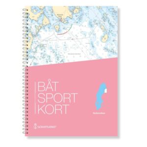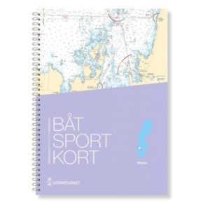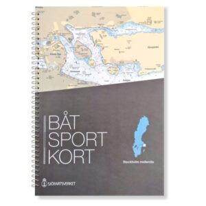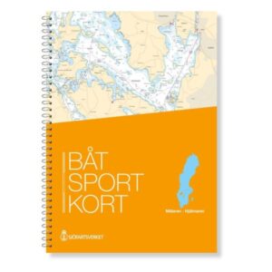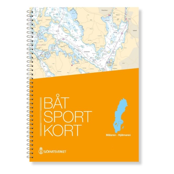
Description
The official Swedish boating map Mälaren & Hjälmaren provides a comprehensive and detailed overview of one of Sweden’s most important inland waterway systems. The map covers the Great Lakes Mälaren and Hjälmaren, as well as the associated canals and river stretches that connect them to Stockholm, Södertälje, Uppsala, Västerås and Eskilstuna, among others.
Official map data from the Swedish Maritime Administration
The boating map is an extract from the official “archipelago maps” and is based on the latest map data from the Swedish Maritime Administration. This ensures that fairways, depths, markings and nautical conditions are correct and updated in the latest available version, so you have a reliable navigation basis on board.
Detailed scales for navigation
The map set contains a range of maps at different scales – with both a broad overview and more granular detail for lake sections, passages and narrow waters – so you can easily plan and carry out trips with a good overview.
Practical format for use on board
The charts are spiral bound in a practical format and supplied in a transparent protective folder. This makes the charts easy to handle on board smaller boats, while at the same time providing a clear overview and the opportunity for quick orientation along the way.
Area and locations covered
The map includes waters and navigation details for areas around Stockholm, Södertälje Canal, Fyrisån towards Uppsala, Västerås, as well as stretches via Eskilstunaån. This gives boaters a solid tool for sailing, cruising and lake navigation throughout the system from the coast and inland.