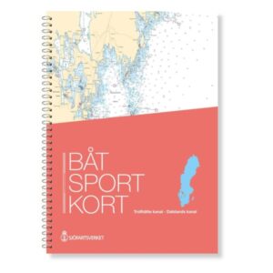
Description
The official boating map Trollhätte Canal – Dalsland Canal covers a continuous and unique inland waterway system in Sweden, with a navigable connection from Gothenburg via Göta Älv and the Trollhätte Canal into the Dalsland canal network.
Official map data from the Swedish Maritime Administration
The boating maps are extracts from the official Swedish “archipelago maps” and are based on authoritative map data from the Swedish Maritime Administration. This ensures that fairways, depths, markings, locks and nautical installations are reproduced correctly and up to date.
Designed for leisure boats and canal navigation
The map is produced in a practical format with good readability, especially adapted for use in smaller leisure boats. It provides safe navigation through open river stretches, lakes and narrower canals, where precise chart information is essential.
Always the latest updated edition
The map is always delivered in the latest available edition. Any changes in fairways, depths, markings and other nautical conditions are incorporated based on current official chart data, so that you have a reliable navigation basis on board.