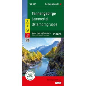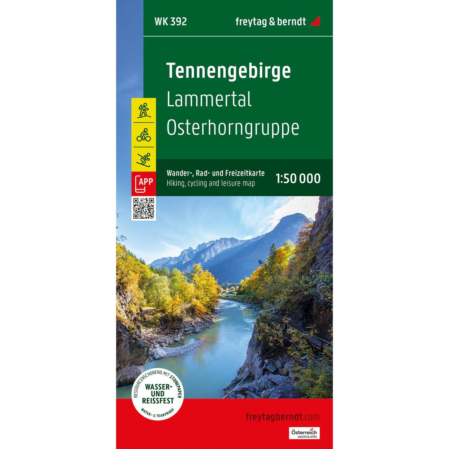
Description
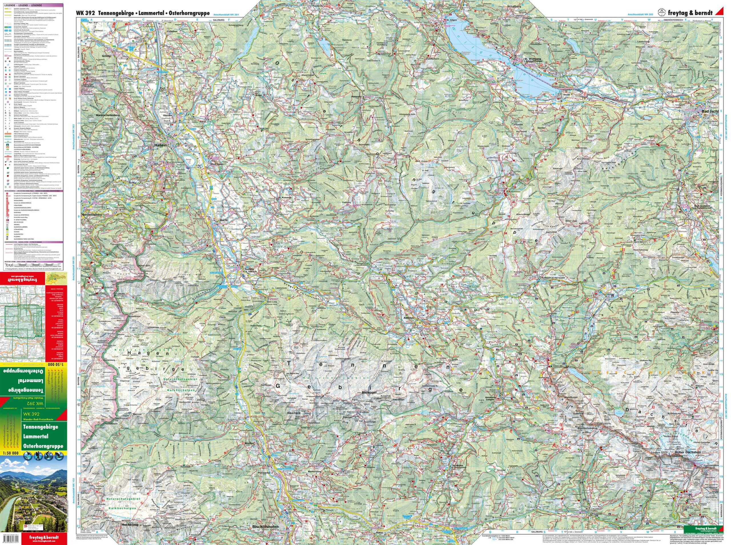
This detailed map covers the Tennengebirge, Lammertal and Osterhorngruppe in the border area between Austria and Germany, providing a good overview of a varied alpine landscape with mountains, valleys and lakes. The map is suitable for both planning and navigation, whether you’re exploring the area by car or combining your trip with outdoor activities.
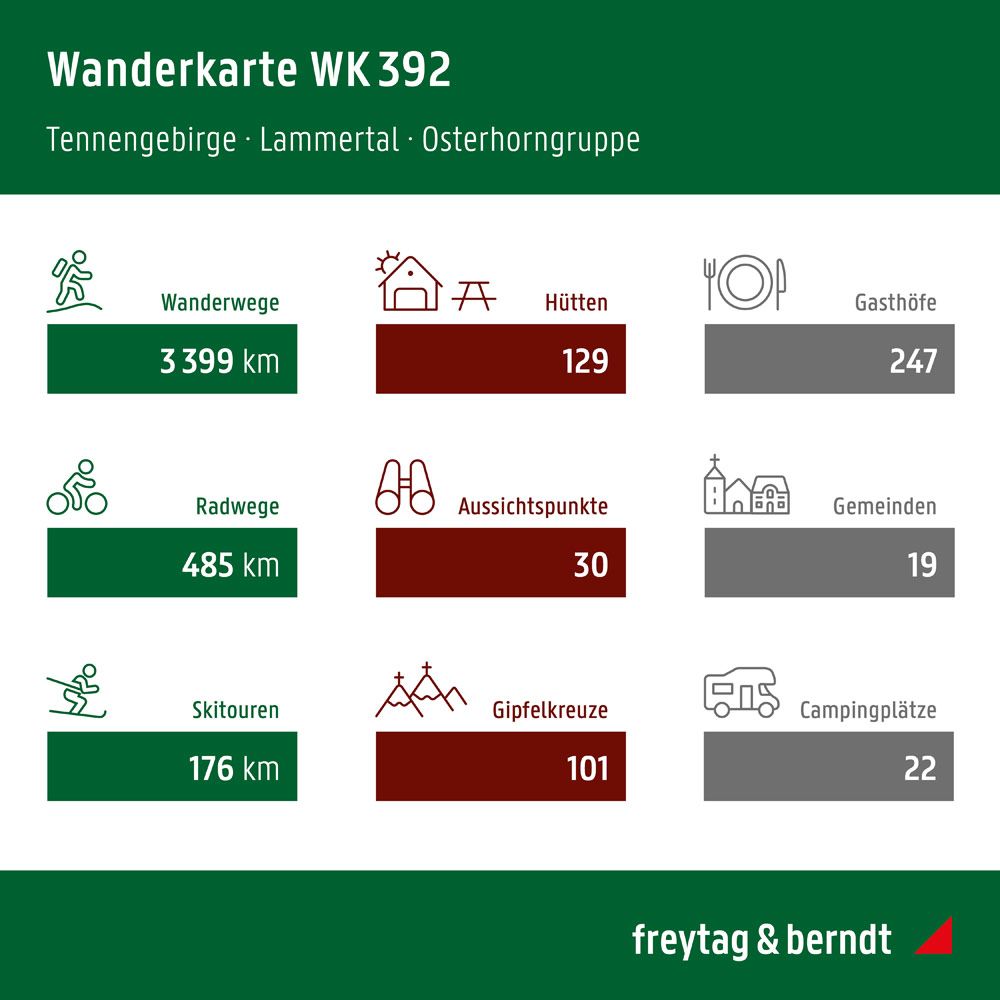
The map shows an extensive network of roads and routes, including smaller connections that provide access to mountain areas and nature experiences. In addition, tourist information, sights and important points such as cabins and viewpoints are marked, making it easier to find your way around the region. The clear cartography provides good readability and overview, even in areas with complex terrain.
The map also includes information about various activities in the area, making it useful for travelers who want to explore the region more actively. The accompanying information booklet provides a further overview of routes and opportunities, making the map a useful tool both before and during your trip.