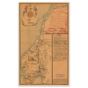

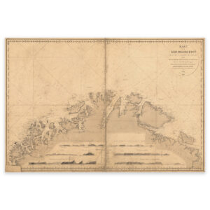
 The coast from Tromsø to the Norwegian-Russian border 1848


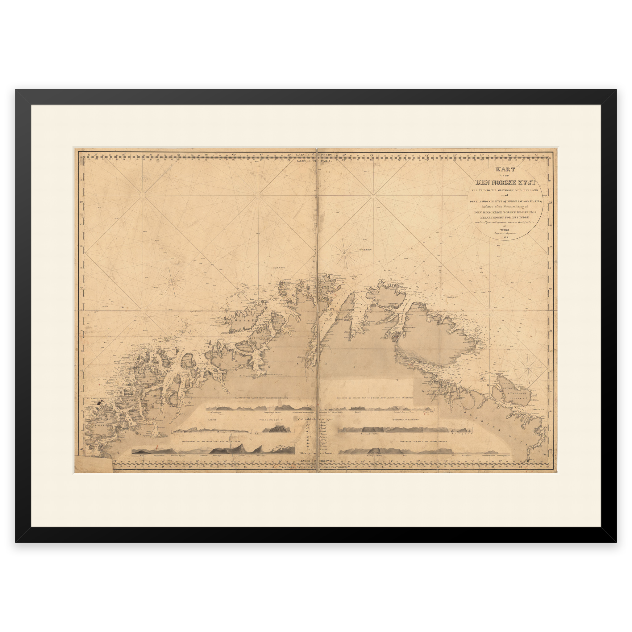


The coast from Tromsø to the Norwegian-Russian border 1848
This hand-drawn nautical chart from 1848 shows the coast from Tromsø to the Norwegian-Russian border. The map comes in its original size of 65.3 x 88.3 cm. The size with frame and passe-partout is 85.3 x 110.3 cm. Do you want the map in a different size? Just get in touch – we’ll be happy to give you a quote for customization.