
Description
The landscape and the journey
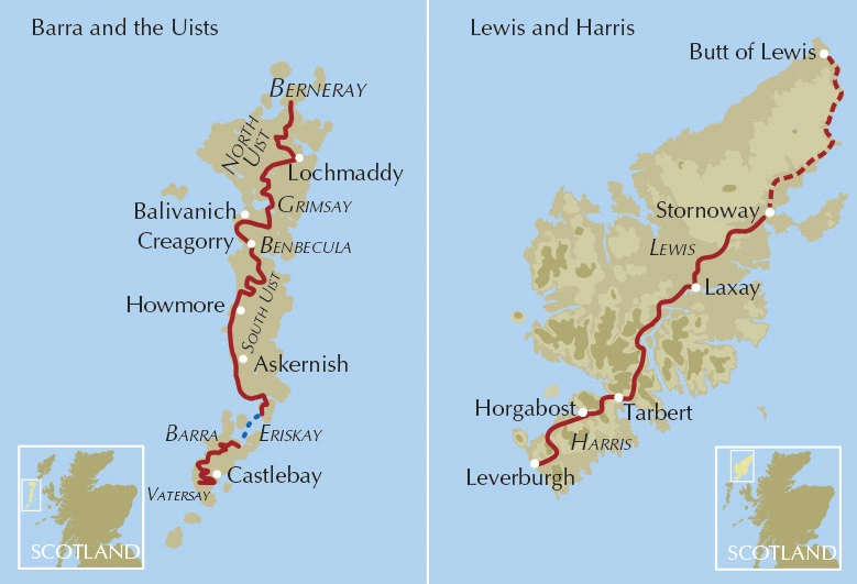
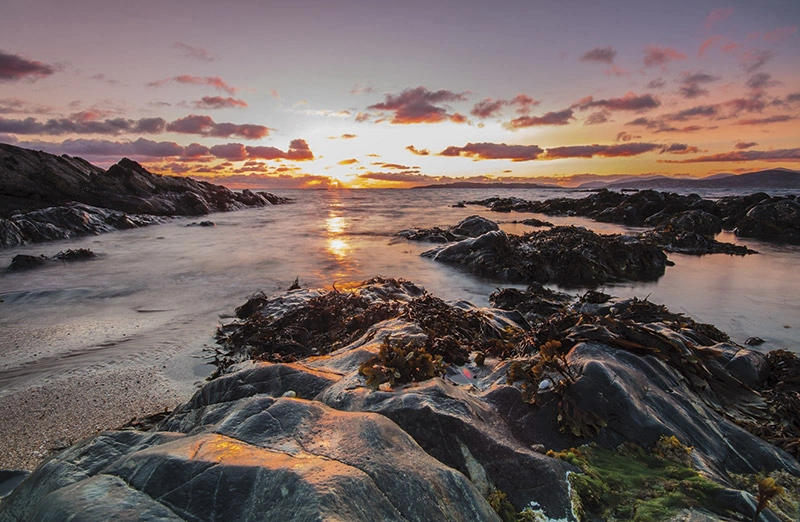
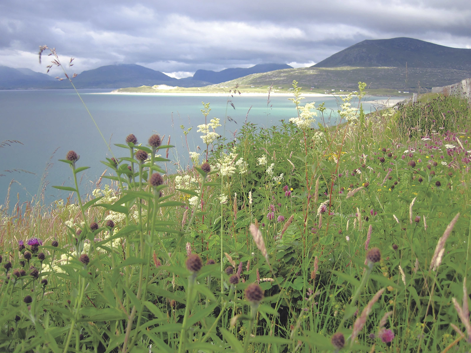
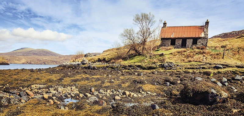
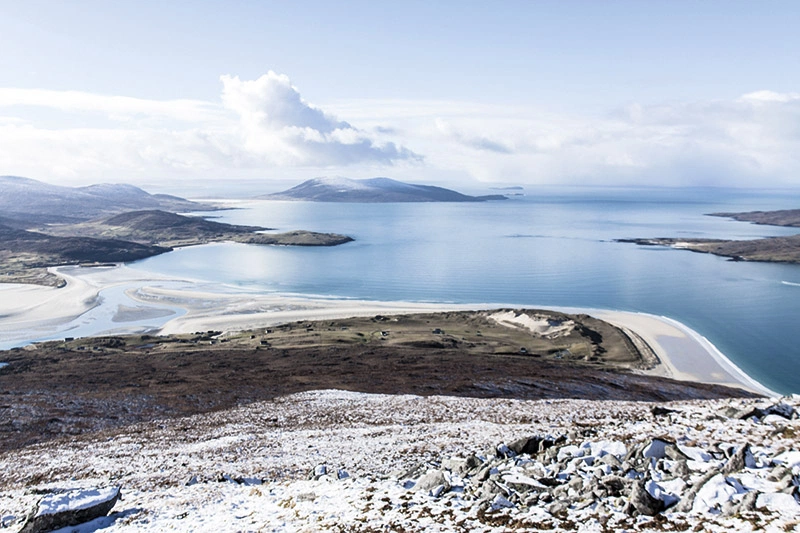
Richard Barrett links ten Outer Hebridean islands through paths, causeways and ferries. Beaches, flower-rich grassland, rock and moorland connect Vatersay with Stornoway on Lewis, forming a continuous journey or shorter island sections.
Routes and itinerary options
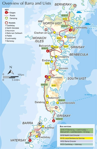
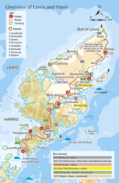
The approximately 247-kilometre walking route has ten stages of around 16–35 kilometres. Suggested schedules take eight to thirteen days. An optional approximately 48-kilometre extension continues to Butt of Lewis instead of finishing in Stornoway.
Maps and practical planning
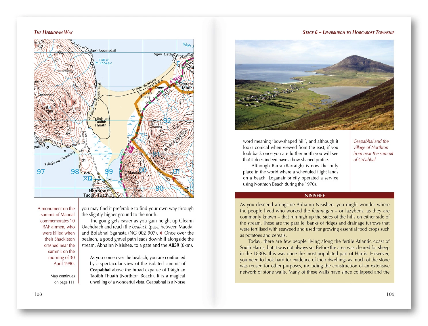
1:50,000 OS maps and Cicerone GPX files accompany accommodation, facilities, transport and ferry organisation. History, archaeology, geology and Gaelic place names add context; verify current ferry times and services. Use the route information to compare stages, plan your stops and check practical arrangements before departure.
Choosing the right trip
There is no technical climbing, but remoteness, wet ground, wind, food access and overnight stops shape the difficulty. This covers the walking route; the cycling version follows a different itinerary. Choose an itinerary that fits your experience and available time, allowing flexibility for weather and local conditions.
About this edition
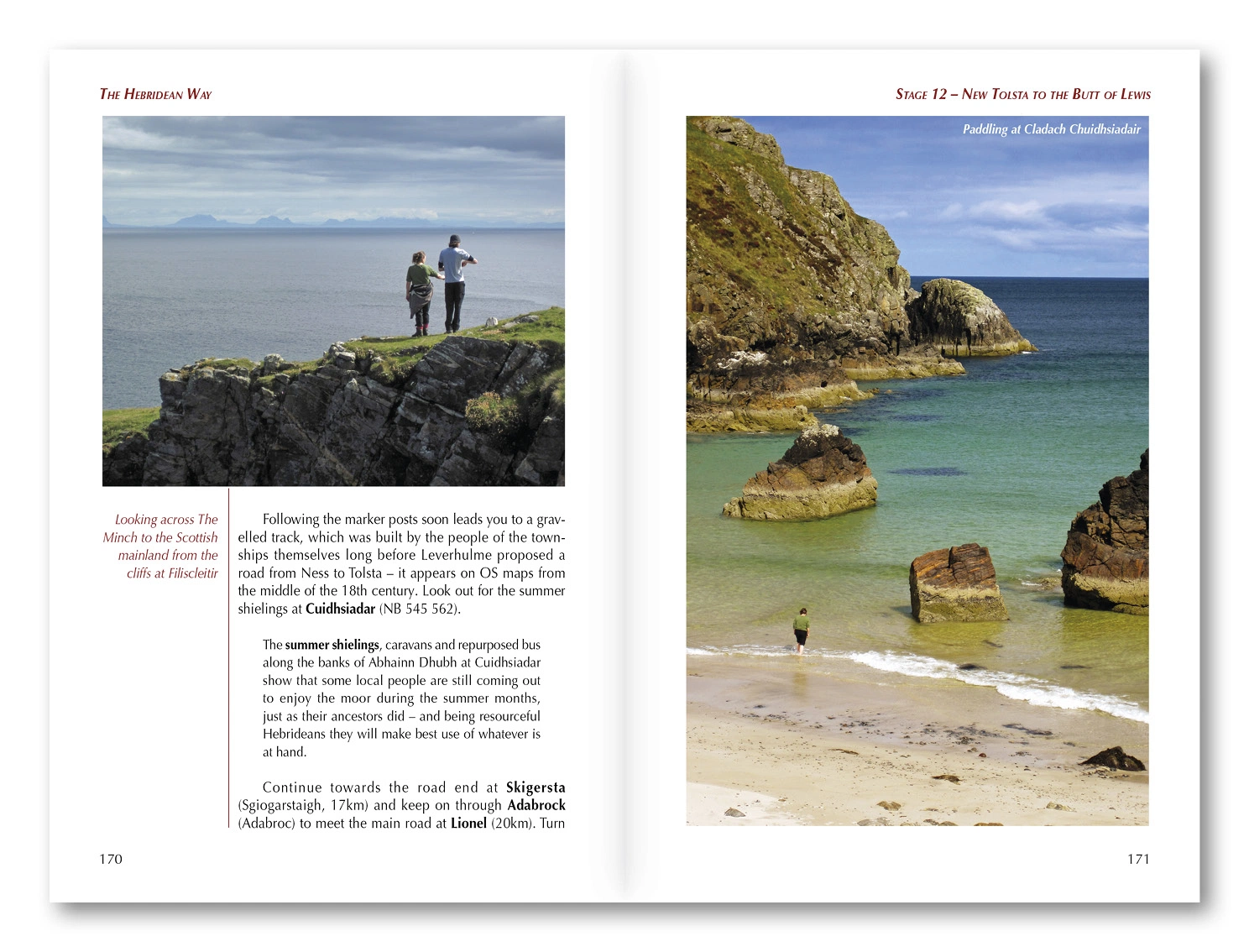
English-language guidebook by Richard Barrett. First edition published in 2017, with subsequent reprints. 192 pages. ISBN 9781852847272.