
Description
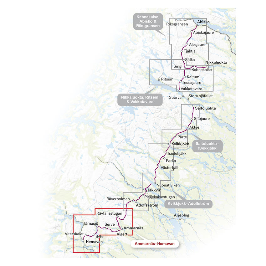
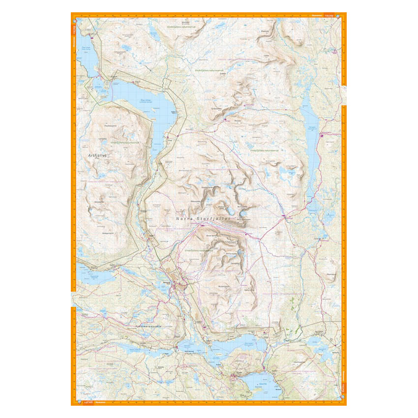
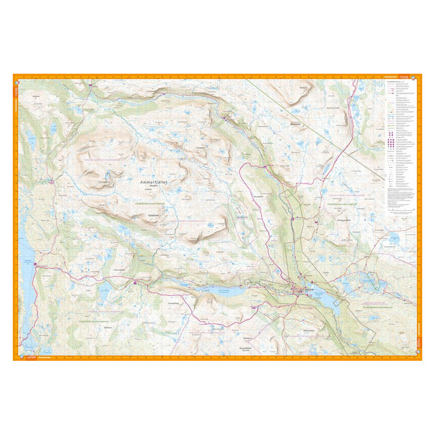
This hiking map covers the southernmost part of the Kungsleden trail between Ammarnäs and Hemavan. The map section also includes the mountain areas around Ammarfjället and northern parts of Norra Storfjället, and provides a good overview of trails, cabins and terrain formations in the area.
The map is particularly suitable for hiking along the King’s Trail, but also covers alternative routes and hiking opportunities in nearby mountain areas. If you are continuing north towards Jäkkvik via Adolfström, this map can be combined with the Kungsleden map : Kvikkjokk – Adolfström 1:50 000.
The map is at a scale of 1:50,000, which is the most commonly used scale for longer mountain hikes. At this scale, 2 cm on the map corresponds to 1 km in the terrain, which provides a good balance between overview and detail.
The map is printed on durable and water-repellent material (Tyvek), which can withstand active use in demanding conditions.
Calazo Förlag is a Swedish publishing house specializing in maps and books for outdoor life in the Nordic region.
Here you can see the area the map covers:
The map is released in 2023.