
Description
The landscape and the journey
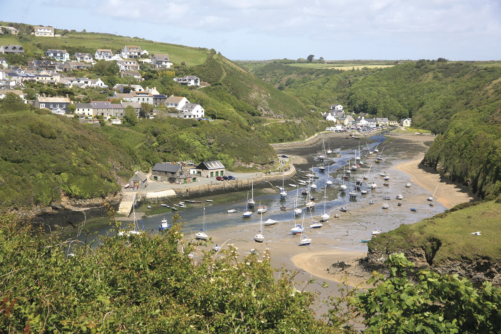
Dennis and Jan Kelsall explore Pembrokeshire’s beaches, sheltered coves, old harbours and seabird cliffs. Follow a complete coastal holiday or choose consecutive stages, with room for landscape and local history.
Routes and itinerary options
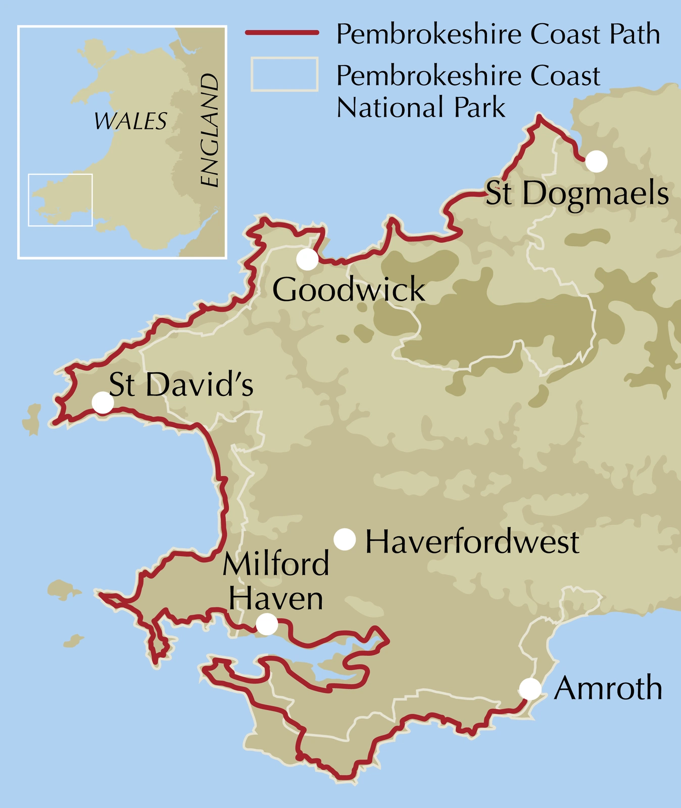
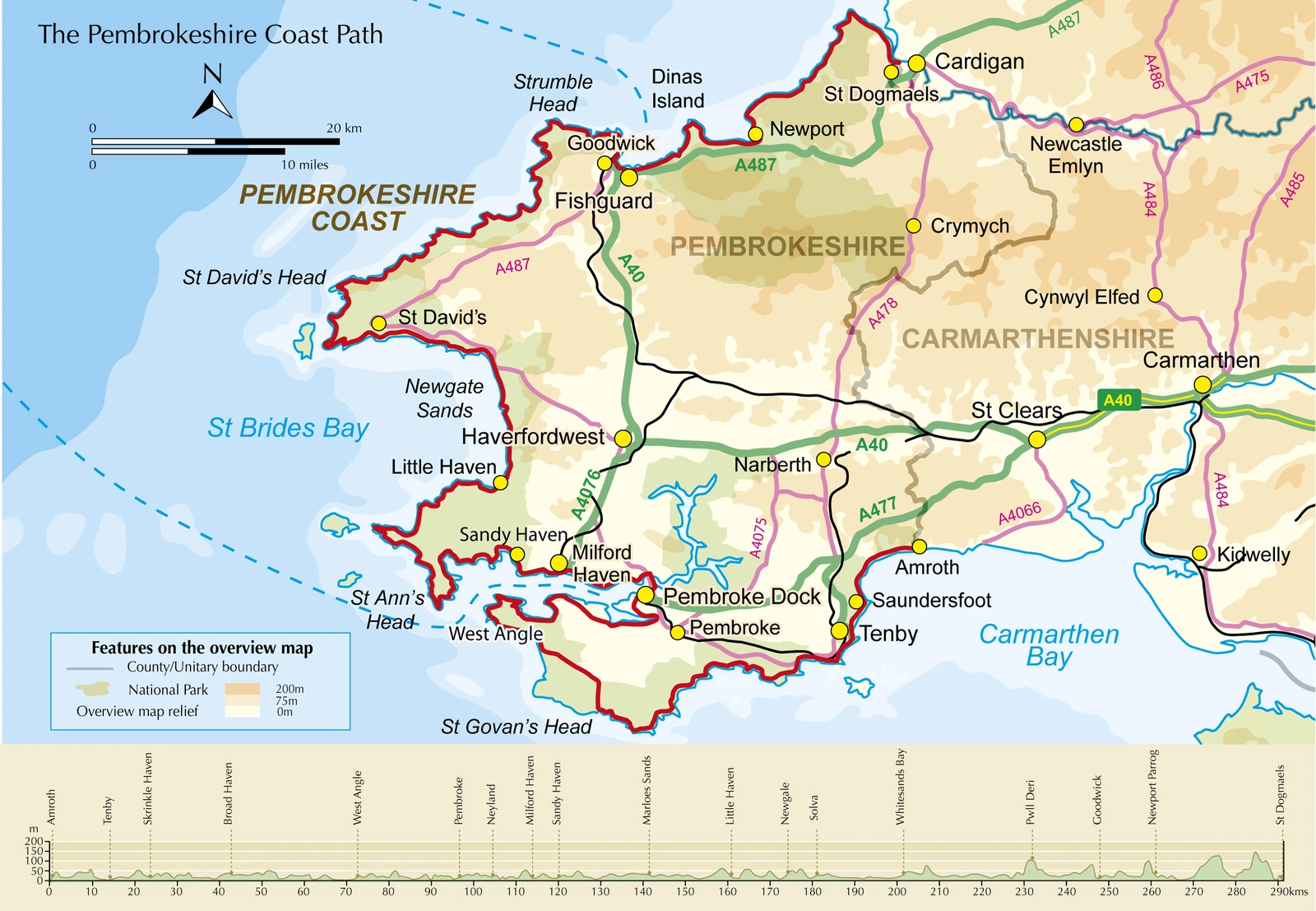
The approximately 290-kilometre National Trail has fourteen stages, generally 15–27 kilometres. South-to-north descriptions have shorter reverse directions. Alternatives address tidal sections and military restrictions, with Tenby, St David’s and Fishguard as planning landmarks.
Maps and practical planning
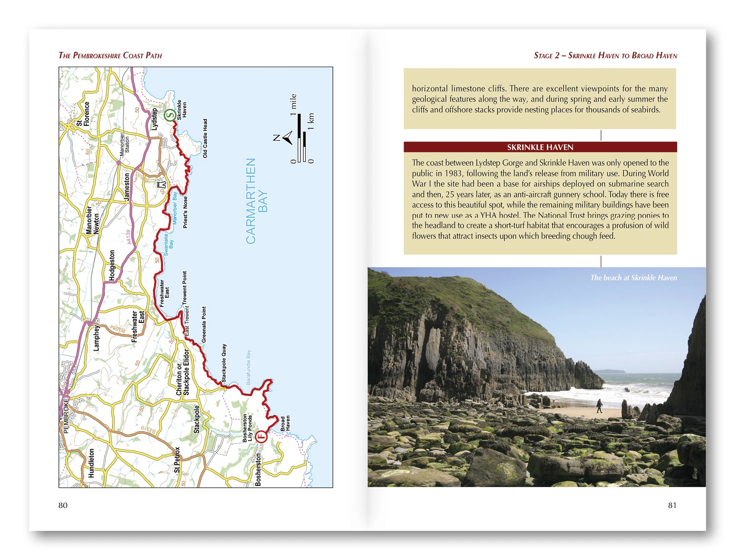
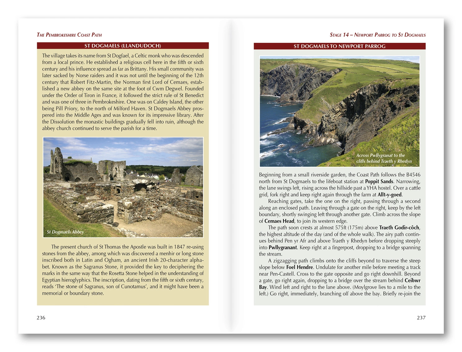
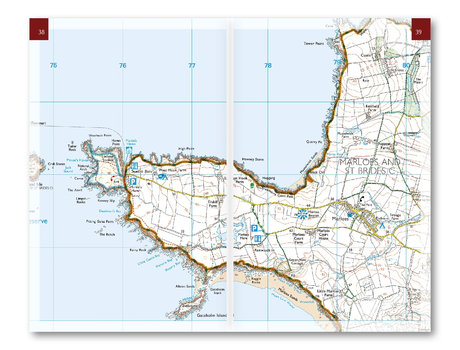
An included separate 1:25,000 OS booklet marks the route. The guide provides overview maps, timing and terrain information, a planner covering accommodation, food, transport and facilities, and Cicerone GPX files. Use the route information to compare stages, plan your stops and check practical arrangements before departure.
Choosing the right trip
Repeated climbs make a full traverse physically substantial. Allow time for beaches and birds. Spring and autumn offer much; summer accommodation can need early booking. Check tides, wind and local access. Choose an itinerary that fits your experience and available time, allowing flexibility for weather and local conditions.
About this edition
English-language guidebook by Dennis and Jan Kelsall. Third edition, published in 2024. 264 pages. Separate OS map booklet included. ISBN 9781786312082.