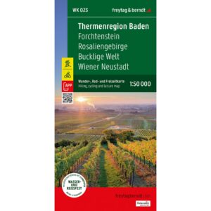
Description
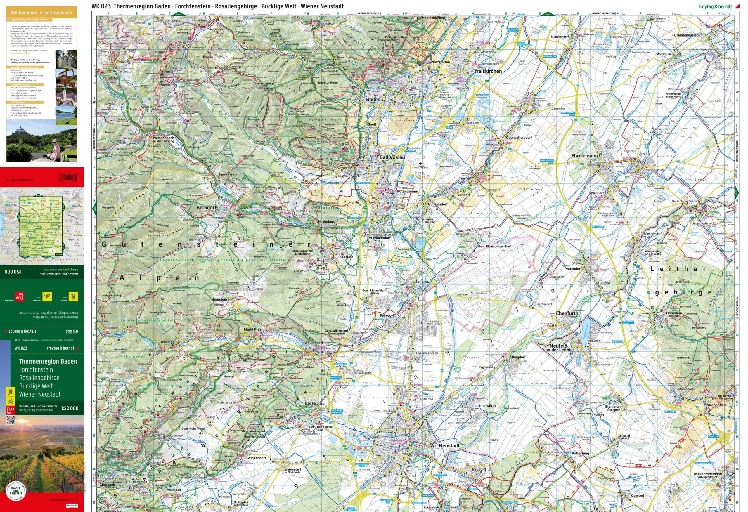
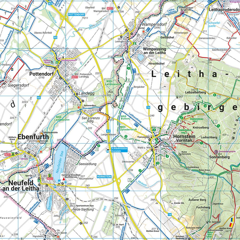
This road map covers the Thermenregion Baden and adjacent areas south of Vienna, including Wiener Neustadt, Bucklige Welt, Rosaliengebirge and Forchtenstein. The map provides a good overview of roads, smaller local connections and towns, and is well suited for car travel, cycling tours and general travel planning in the region. The area combines wine country, health resorts, small towns and mountainous areas, and the map is suitable for both short excursions and longer journeys. The cartography is clear and easy to read, with a focus on orientation and practical use in the field. Release year: 2025.