Description
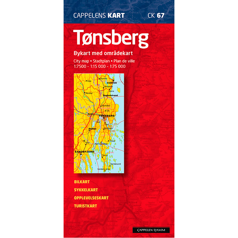
Tønsberg city map (CK 67) from Cappelen Damm Kart is a detailed city map published in 2011. The map covers Tønsberg and nearby areas such as Stokke, Sem, Barkåker and northern Nøtterøy, and provides a thorough overview of the city and surrounding coastal areas.
The city center is shown at a scale of 1:7,500, which provides very detailed representation of road names, buildings and sights. The map serves as a car map, bicycle map, tourist map and bathing map, and is well suited for both residents and visitors.
The map also includes an area map that extends all the way to Verdens Ende, providing a good overview of Tjøme and the coastal areas south of Tønsberg. A complete index makes it easy to find addresses and places.
Cappelen Damm no longer publishes maps and atlases. This product is sold from existing stock, and will be available while stocks last. When the stock is empty, the map will not be printed in a new edition.