Description
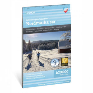
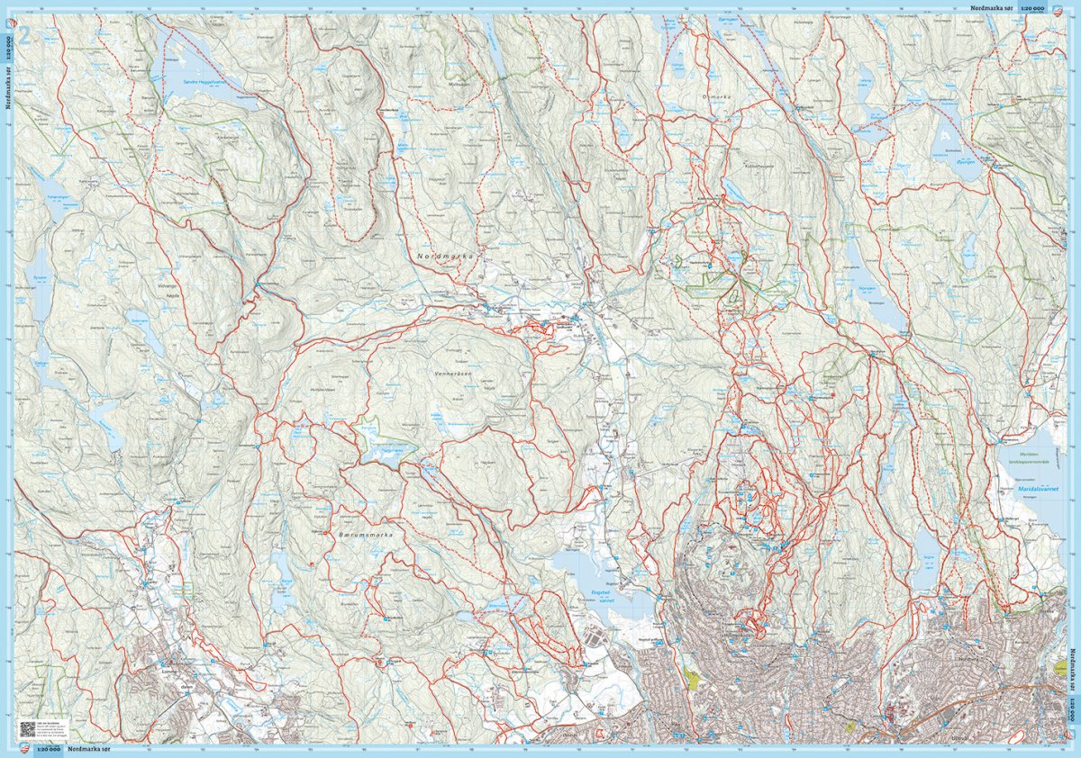
The Nordmarka South trail map is one of four special maps at a scale of 1:20,000 that cover Oslomarka. The map has been prepared in close collaboration with the Ski Association and is tailored for winter use. It provides an overview of an extensive trail network with more than 3,000 kilometers of groomed ski trails in the region.
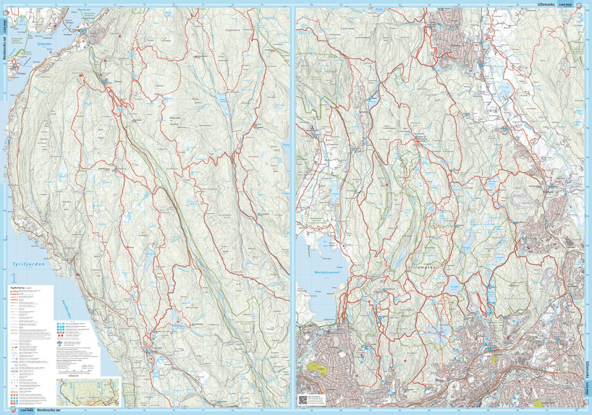
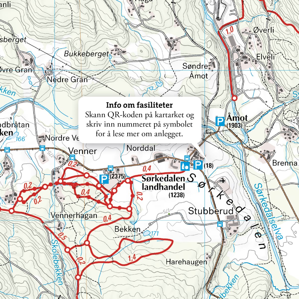
The map clearly shows different types of trails and distance information, as well as parking lots, cabins and restaurants. The information is designed for easy use together with updated trail status from Skiforeningen. The terrain information is based on detailed elevation data and provides a precise representation of contours, water and landscapes, making it easier to navigate in varied and hilly terrain.
The map is at a scale of 1:20,000, which gives a very detailed picture of the terrain. At this scale, 5 cm on the map corresponds to 1 km in the terrain.
Calazo Förlag is a Swedish publishing house specializing in maps and books for outdoor life in the Nordic region.
The map is released in 2025.