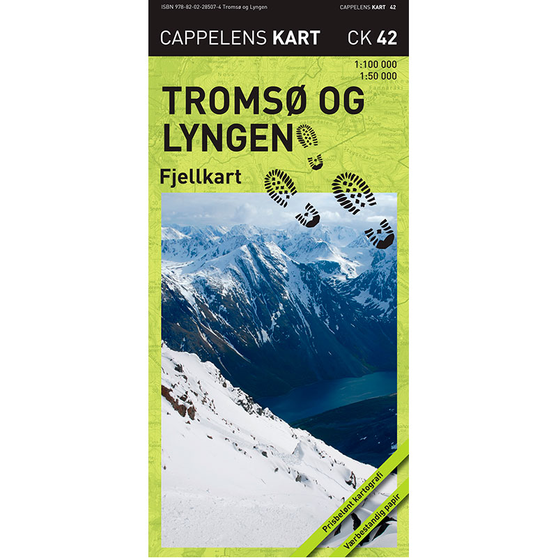
Description
Tromsø and Lyngen – mountain map (part 42 in the series Cappelens kart) is a detailed mountain map published in 2010. The map is folded and printed on weatherproof paper with high durability and good rain tolerance, developed for use in northern Norwegian mountain terrain.
The map covers the area around Tromsø at a scale of 1:50,000, and the rest of Lyngsalpene and parts of Kvaløya and Ringvassøya at a scale of 1:100,000. This provides both a detailed close-up map and a broad overview of a larger mountain area – two maps in one.
The map has clear mountain shading that makes it easier to visualize the terrain. It shows marked trails, groomed winter trails and prepared ski trails, as well as winter and summer parking lots. Information about trails and cabins is updated in collaboration with DNT and local municipalities.
This is a versatile map for both hiking and skiing in the Tromsø and Lyngsalpene area.
Cappelen Damm no longer publishes maps and atlases. This product is sold from existing stock, and will be available while stocks last. When the stock is empty, the map will not be printed in a new edition.