
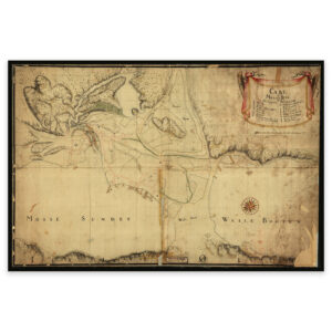

 Trøndelag 1750
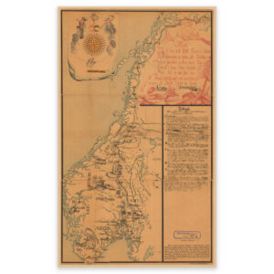


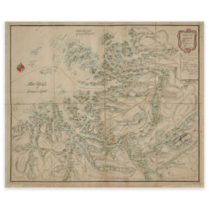
Trøndelag 1750
Hand-drawn map by Henrich Christopher Sommerschield from 1750 of the area Flatanger and Namdalseid in the southwest up to and including Foldafjorden and Namdalseid in the northeast. The map is delivered in its original size 61.1 x 50.9 cm. The size with frame and passe-partout is 79.1 x 69.9 cm. Would you like the map in a different size? Just get in touch – we’ll be happy to give you a quote for customization.