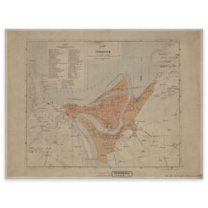


 Trondheimsfjorden and Beitstadfjorden 1800
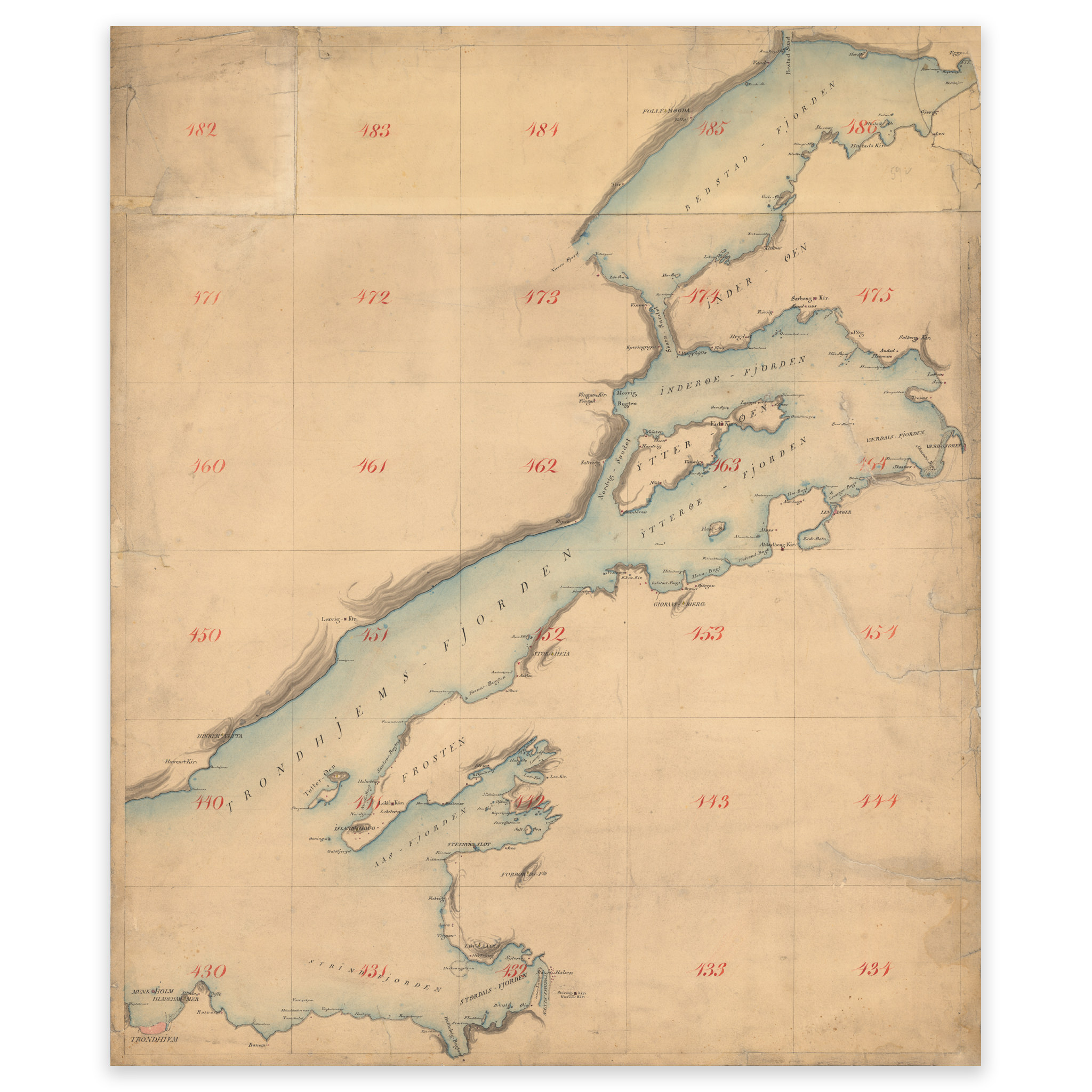


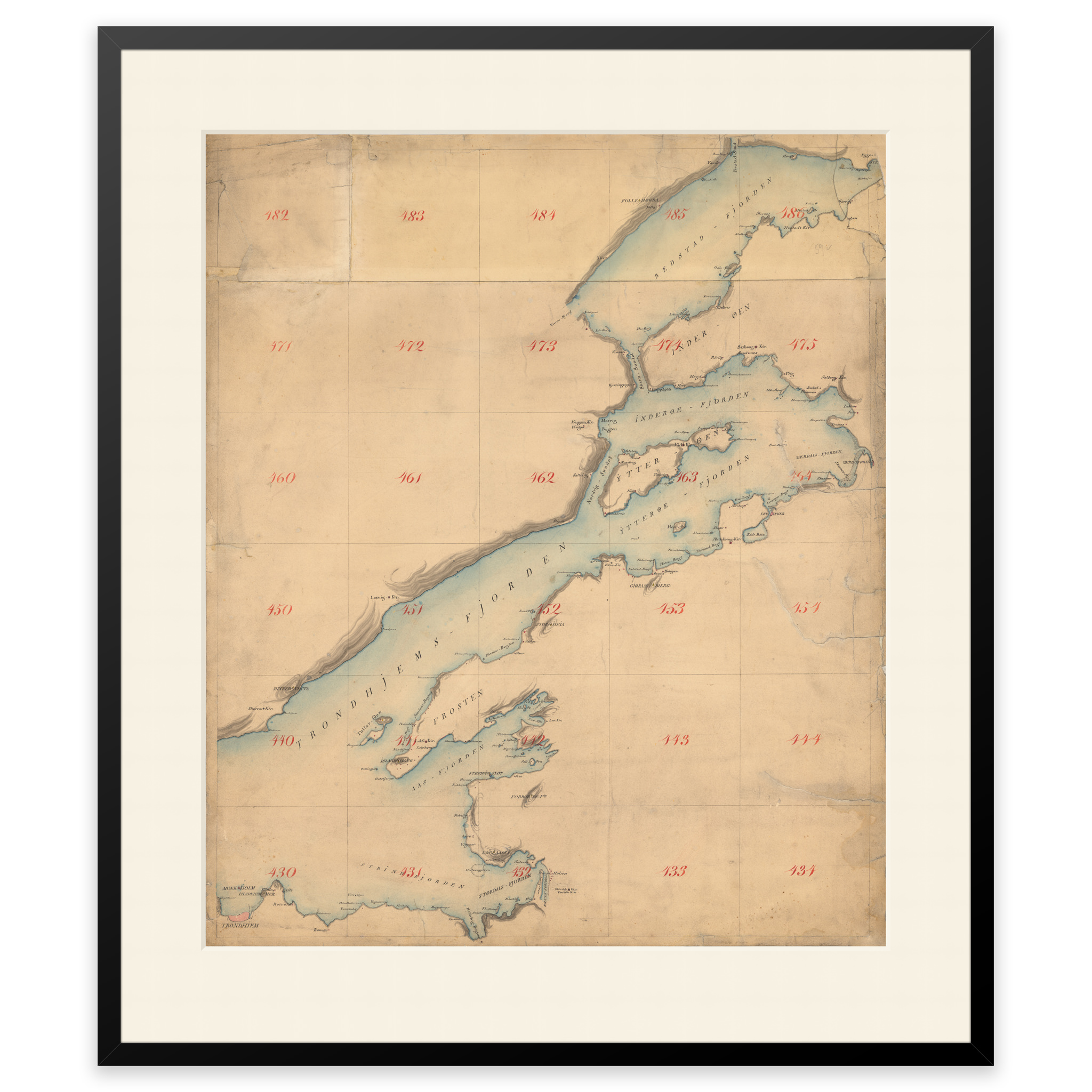


Trondheimsfjorden and Beitstadfjorden 1800
Nautical chart of the Trondheimsfjord drawn in 1800. Covers the area from Trondheim up to and including Beitstadfjorden. The map comes in its original size of 56.3 x 73.8 cm. The size with frame and passe-partout is 74.3 x 92.8 cm. Would you like the map in a different size? Just get in touch – we’ll be happy to give you a quote for customization.