
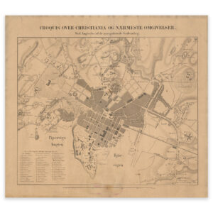
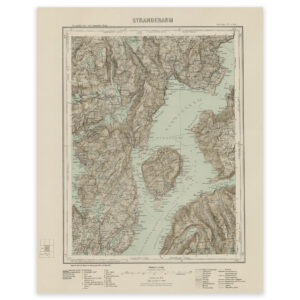
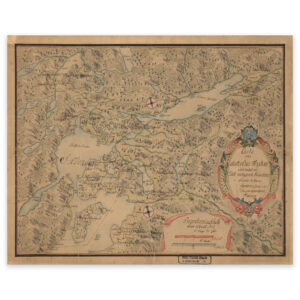
 Trondheimsfjorden, Beitstadfjorden and Snåsavatnet 1750


Trondheimsfjorden, Beitstadfjorden and Snåsavatnet 1750
Map of Inderøy’s bailiwick in 1750. The map covers the area Trondheimsfjorden, Beitstadfjorden and Snåsavatnet. The original size of the map is 58.9 x 47.2 cm. The size with frame and passe-partout is 76.9 x 66.2 cm. Do you want the map in a different size? Just get in touch – we’ll be happy to give you a quote for customization.