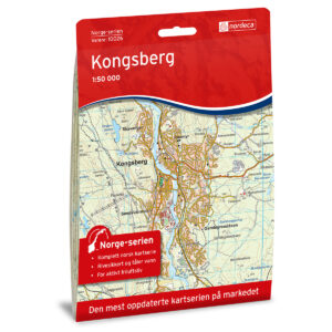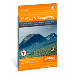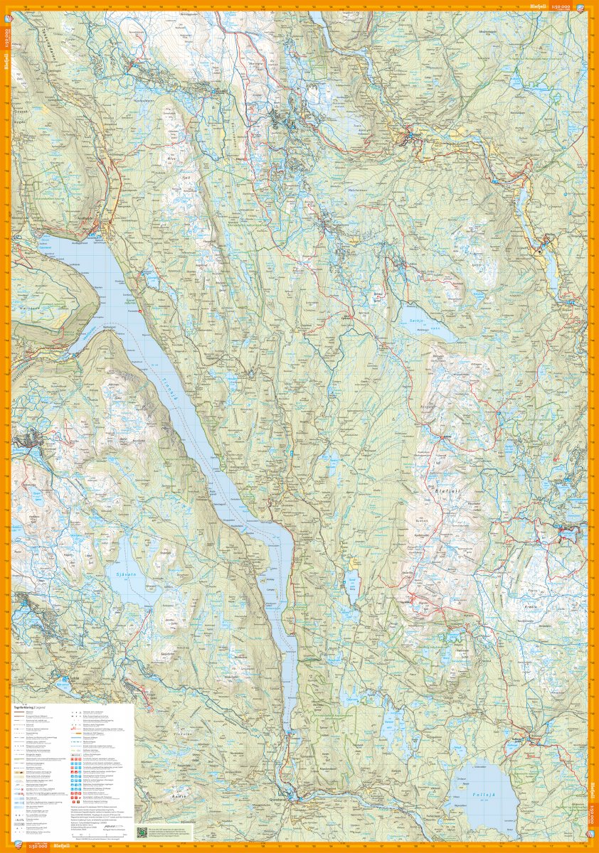
Description
Hiking map for the Blefjell and Kongsberg area at a scale of 1:50,000. The map covers a large mountain and forest area from Austbygde and Veggli in the north to Sauherad and Skrimfjella in the south, and provides a good overview of hiking opportunities in the region.
The map shows marked summer trails, winter routes and groomed ski trails, as well as DNT cabins and other accommodation. Information about routes and cabins has been quality assured in collaboration with Kongsberg og Omegns Turistforening.
The map is printed on durable and water-repellent material (Tyvek), making it suitable for use in all weathers. Map display on both sides provides effective coverage of the area.
Here you can see the area the map covers:
The map is released in 2026.