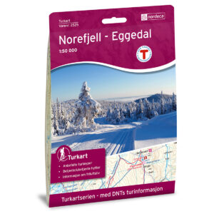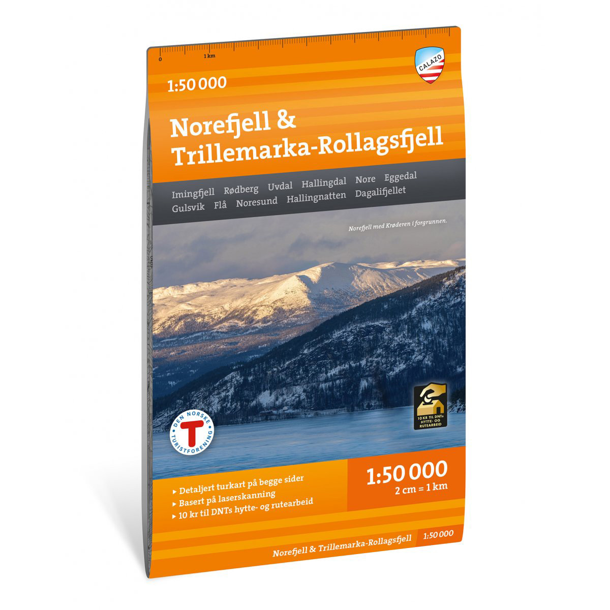
Description
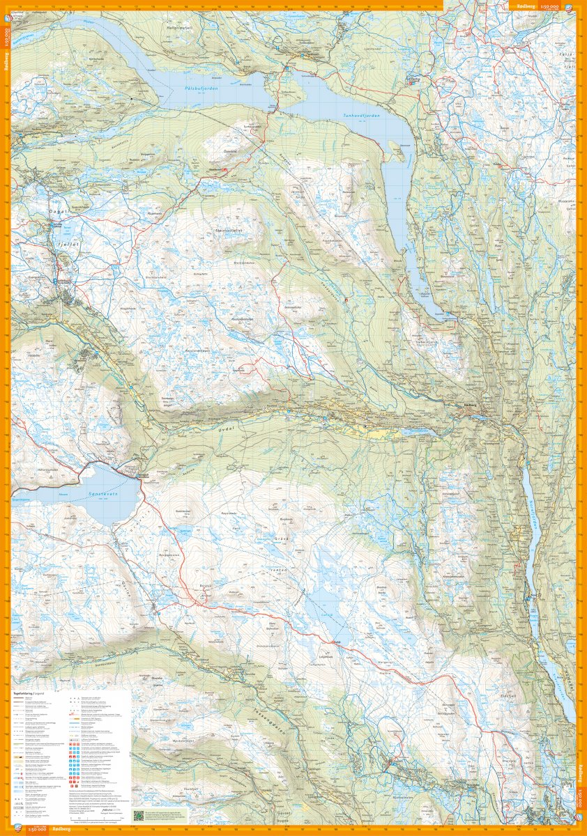
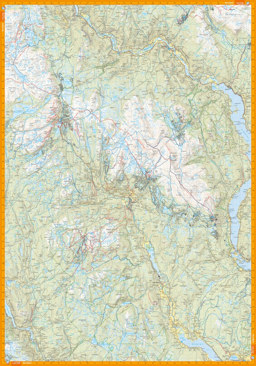
Hiking map of Norefjell and Trillemarka-Rollagsfjell at a scale of 1:50,000. The map covers key mountain areas such as Norefjell, Trillemarka-Rollagsfjell, Hallingnatten and Dagalifjellet, and provides a good overview of hiking opportunities in the region.
The map shows marked summer trails, winter routes and groomed ski trails, as well as DNT cabins and other accommodation. It is suitable for both hiking and skiing throughout the year.
Map display on both front and back for effective coverage of the area. The map is printed on durable and water-repellent material (Tyvek), which withstands use in varied weather and terrain.
The map is released in 2026.