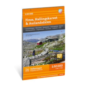
Description
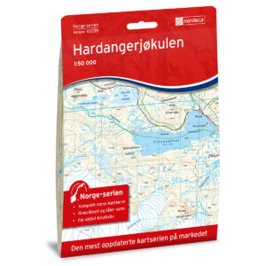
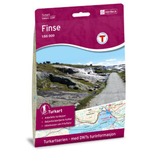
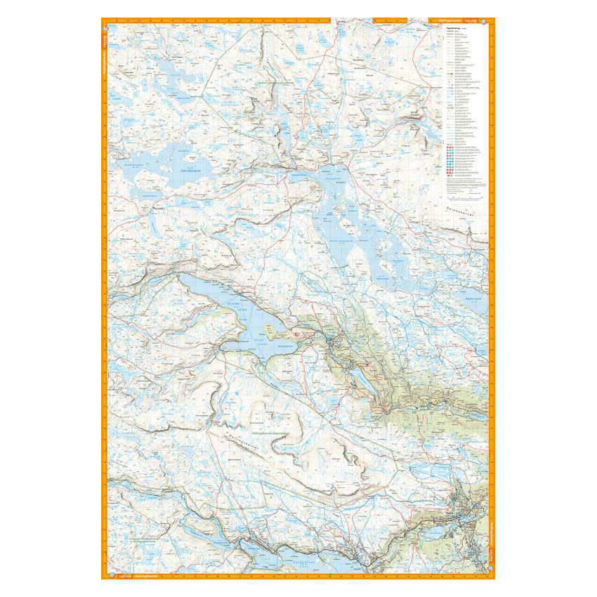
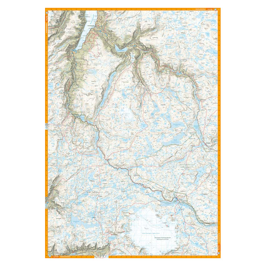
Turkart Finse, Hallingskarvet & Aurlandsdalen covers the area between Hallingskarvet in the south and Aurlandsdalen in the north, with map sections on both the front and back. The map includes key hiking destinations such as Finse, Hardangerjøkulen and Flåmsdalen, and provides an overview of a varied high-mountain area with glaciers, plains and deep valleys.
The map also covers the Rallarvegen cycle route from Haugastøl to Flåm, a distance of 82 km. It shows marked hiking routes, cabins run by DNT and private operators, as well as relevant winter routes and groomed ski trails where applicable. The terrain information provides a precise representation of contours, water and landscapes, and is adapted for use throughout the year. The map has a format of 70 × 100 cm and provides a good overview of a large area.
The map is at a scale of 1:50,000, which is the most common scale for longer mountain hikes. At this scale, 2 cm on the map corresponds to 1 km in the terrain. The terrain information is based on detailed elevation data and provides a clear and precise representation of the landscape.
Calazo Förlag is a Swedish publishing house specializing in maps and books for outdoor life in the Nordic region.
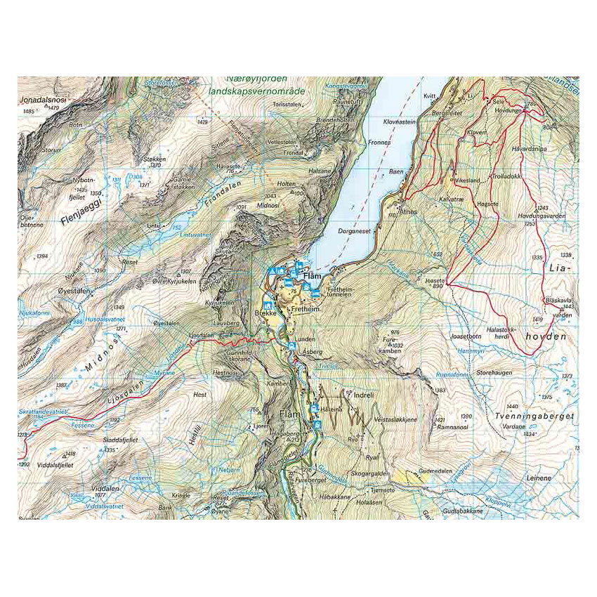
Here you can see the area the map covers:
The map is released in 2022.