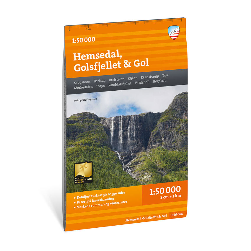

Description
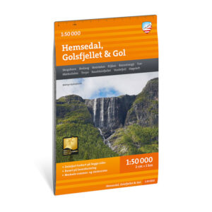
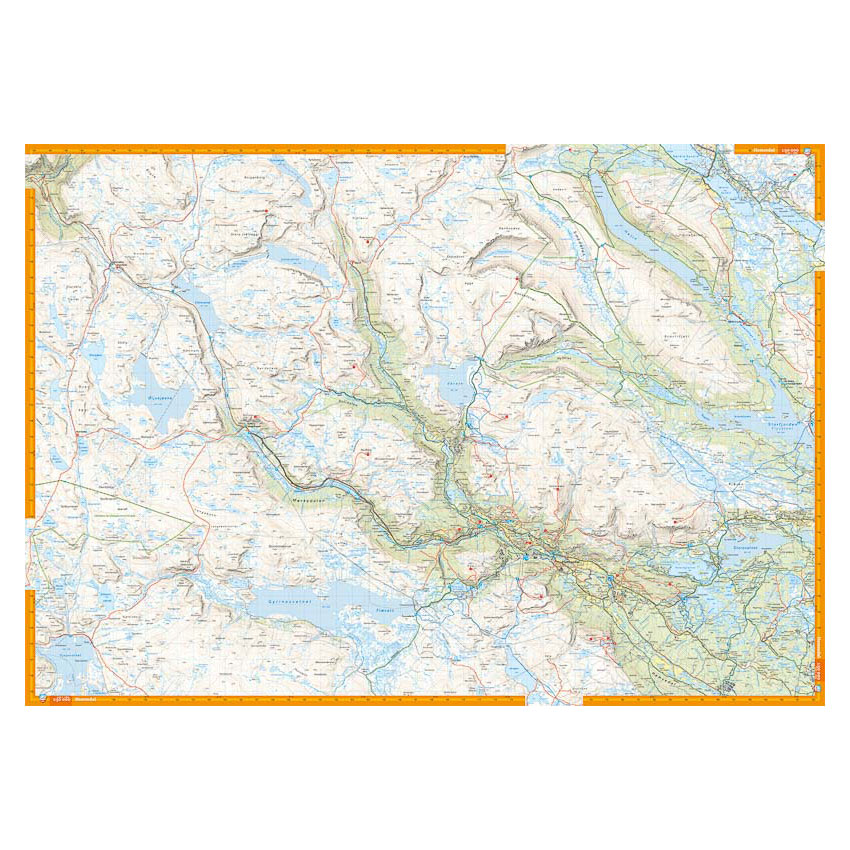
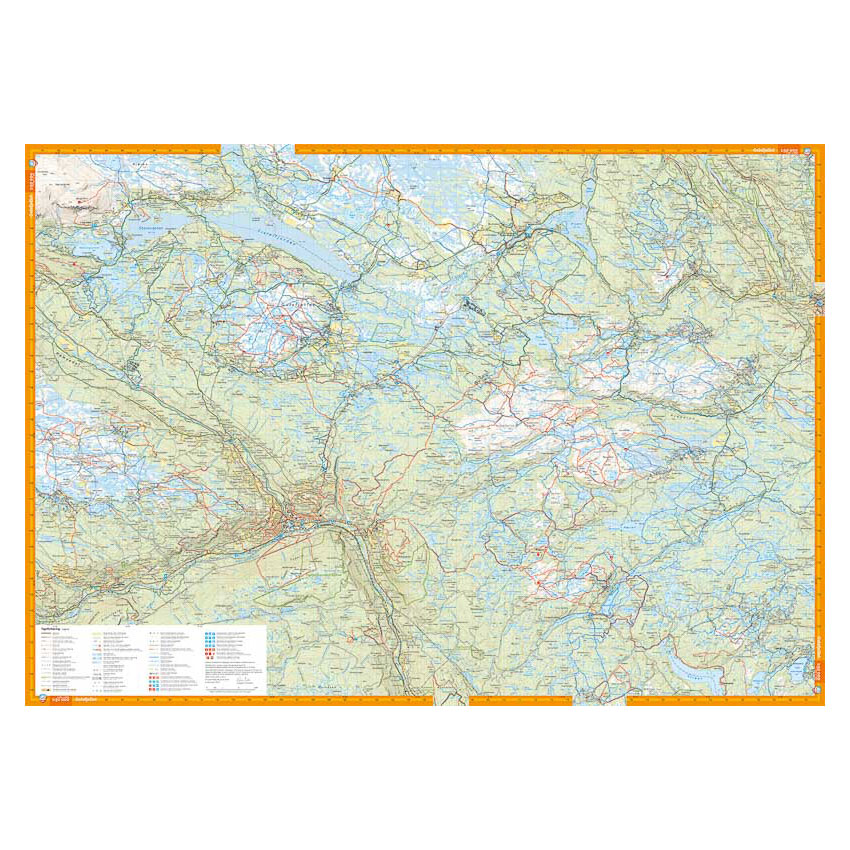
Turkart Hemsedal Golsfjellet Gol covers large parts of the mountain areas around Hemsedal and Gol, from Høgeloft in the north to Sør-Aurdal in the southeast. The map has map sections on both the front and back and provides an overview of a varied hiking area with high mountains, open plains and forest terrain.
Trails in the area have been reviewed and corrected using detailed aerial photography and terrain data. The map shows both established and newer trails, as well as cabins and marked hiking routes in the region. It is adapted for use throughout the year, with marked winter routes and groomed ski trails where applicable. The terrain information provides a precise representation of contours, water and landscapes, making the map suitable for both short day trips and longer mountain hikes.
The map is at a scale of 1:50,000, which is the most common scale for longer mountain hikes. At this scale, 2 cm on the map corresponds to 1 km in the terrain. This provides a good balance between level of detail and overview of larger areas.
Calazo Förlag is a Swedish publishing house specializing in maps and books for outdoor life in the Nordic region.
The map is released in 2023.
Here you can see the area the map covers:
The map is released in 2023.