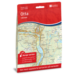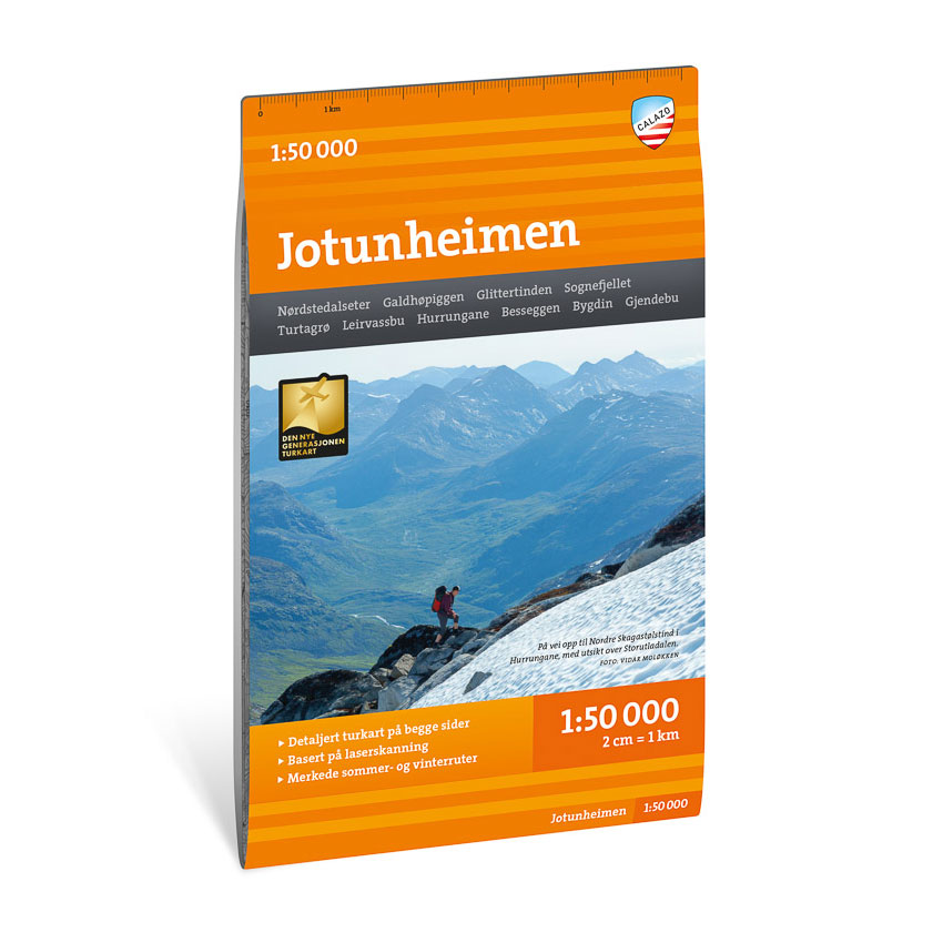
Description
Turkart Jotunheimen covers the whole of Jotunheimen with map sections on both the front and back. The map provides a comprehensive overview of Norway’s most famous high mountain area, with pronounced peaks, glaciers and large contiguous mountain areas.
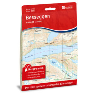
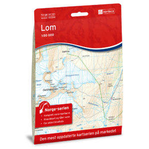
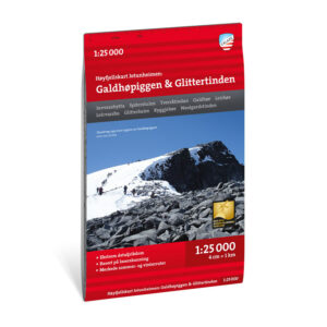
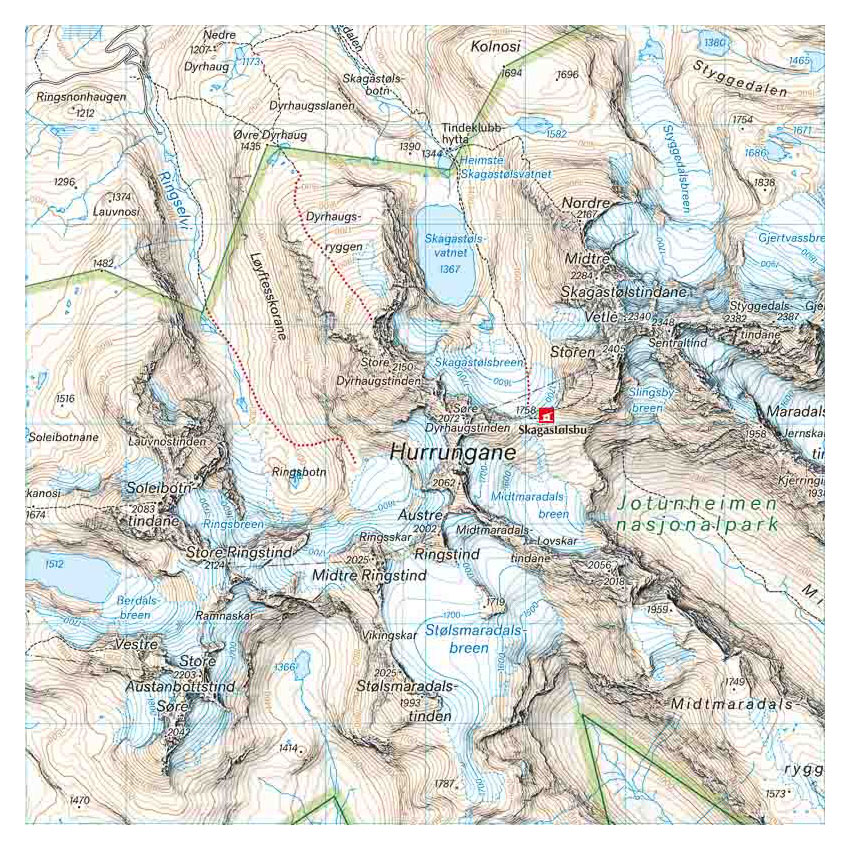
The area includes classic hiking destinations such as Hurrungane, Galdhøpiggen, Glittertind and Besseggen. The map shows DNT cabins and private accommodation, as well as marked hiking routes throughout the area. It is adapted for use throughout the year, with marked winter routes and groomed ski trails where applicable. The map has a format of 70 × 100 cm and provides good coverage of a large and varied mountain area.
The map is at a scale of 1:50,000, which is the most common scale for longer mountain hikes. At this scale, 2 cm on the map corresponds to 1 km in the terrain. The terrain information is based on detailed elevation data and provides a precise and clear representation of contours, water and landforms.
Calazo Förlag is a Swedish publishing house specializing in maps and books for outdoor life in the Nordic region.
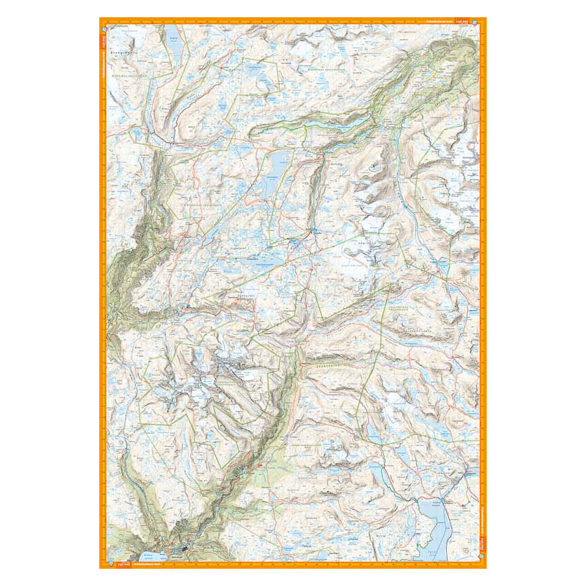
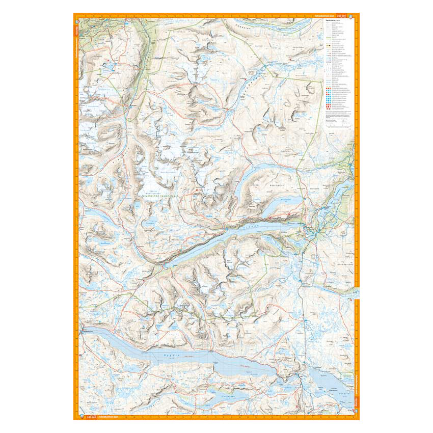
Here you can see the area the map covers:
The map is released in 2022.