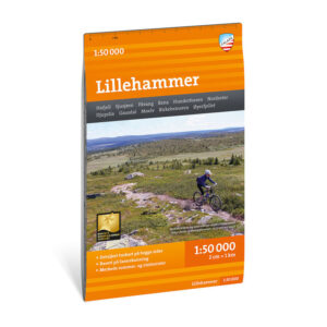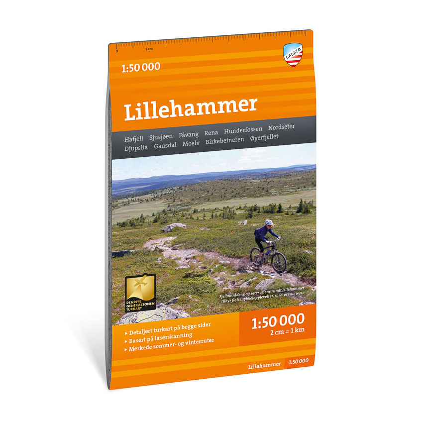
Description
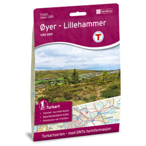
Turkart Lillehammer covers the areas around Lillehammer with map sections on both the front and back. The map provides an overview of forest and mountain areas that are used for hiking throughout the year, with both short hikes and longer continuous routes.
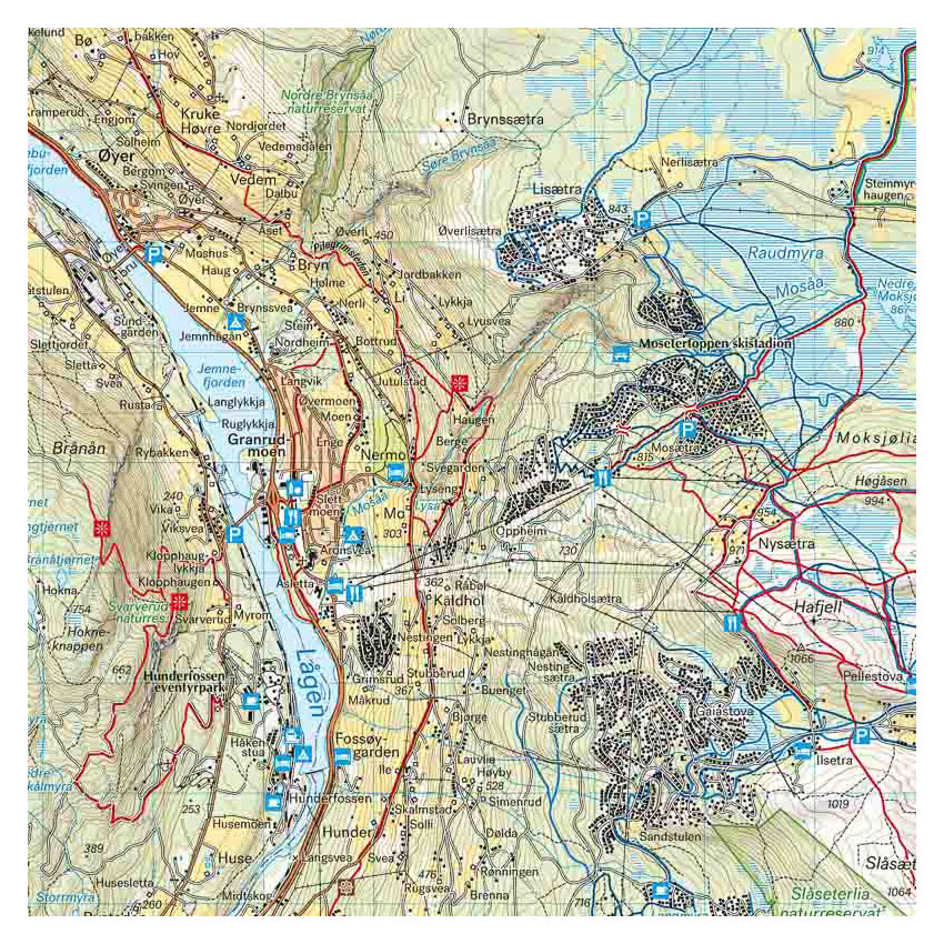
Trails in the area have been reviewed and corrected using detailed aerial photographs and terrain data. The map shows established and newer trails, as well as cabins run by DNT and other operators. Marked summer and winter routes are clearly marked, and groomed ski trails are shown where applicable. The terrain information provides a precise representation of contours, water and landscapes, making the map suitable for both short and long hikes in the region.
The map is at a scale of 1:50,000, which is the most common scale for longer trips. At this scale, 2 cm on the map corresponds to 1 km in the terrain. This provides a good balance between detail and overview of larger areas.
Calazo Förlag is a Swedish publishing house specializing in maps and books for outdoor life in the Nordic region.
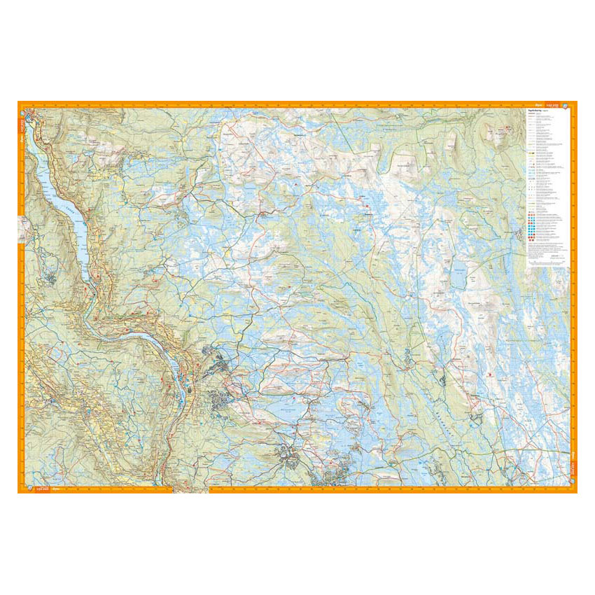
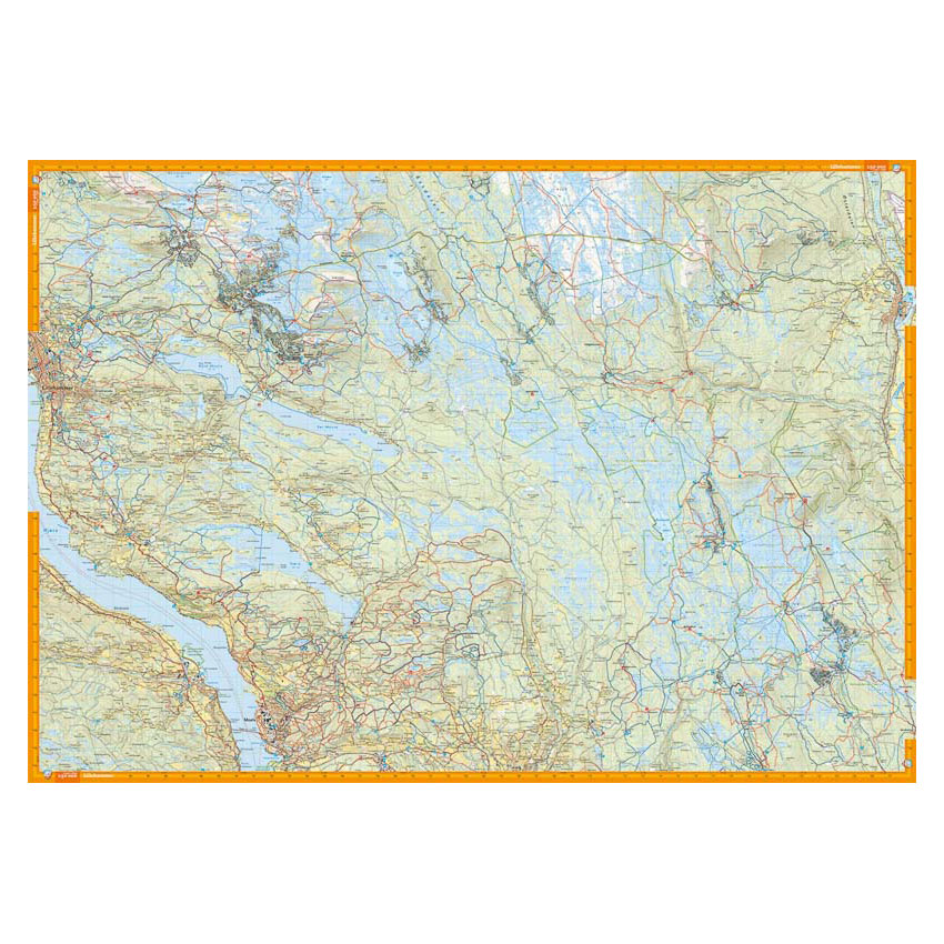
Here you can see the area the map covers:
The map is released in 2023.