Description
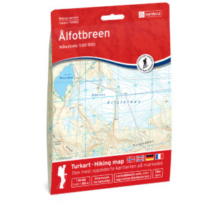
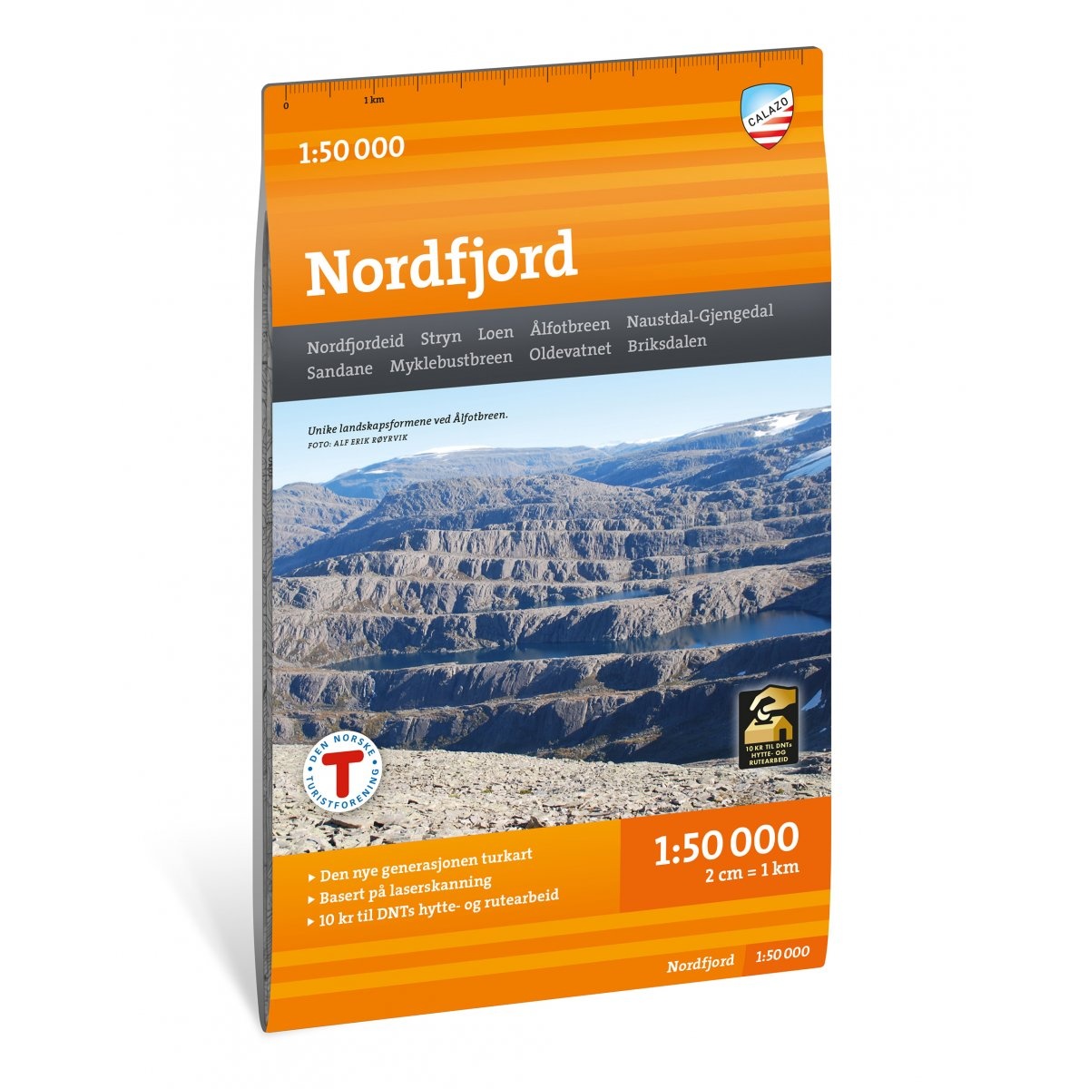
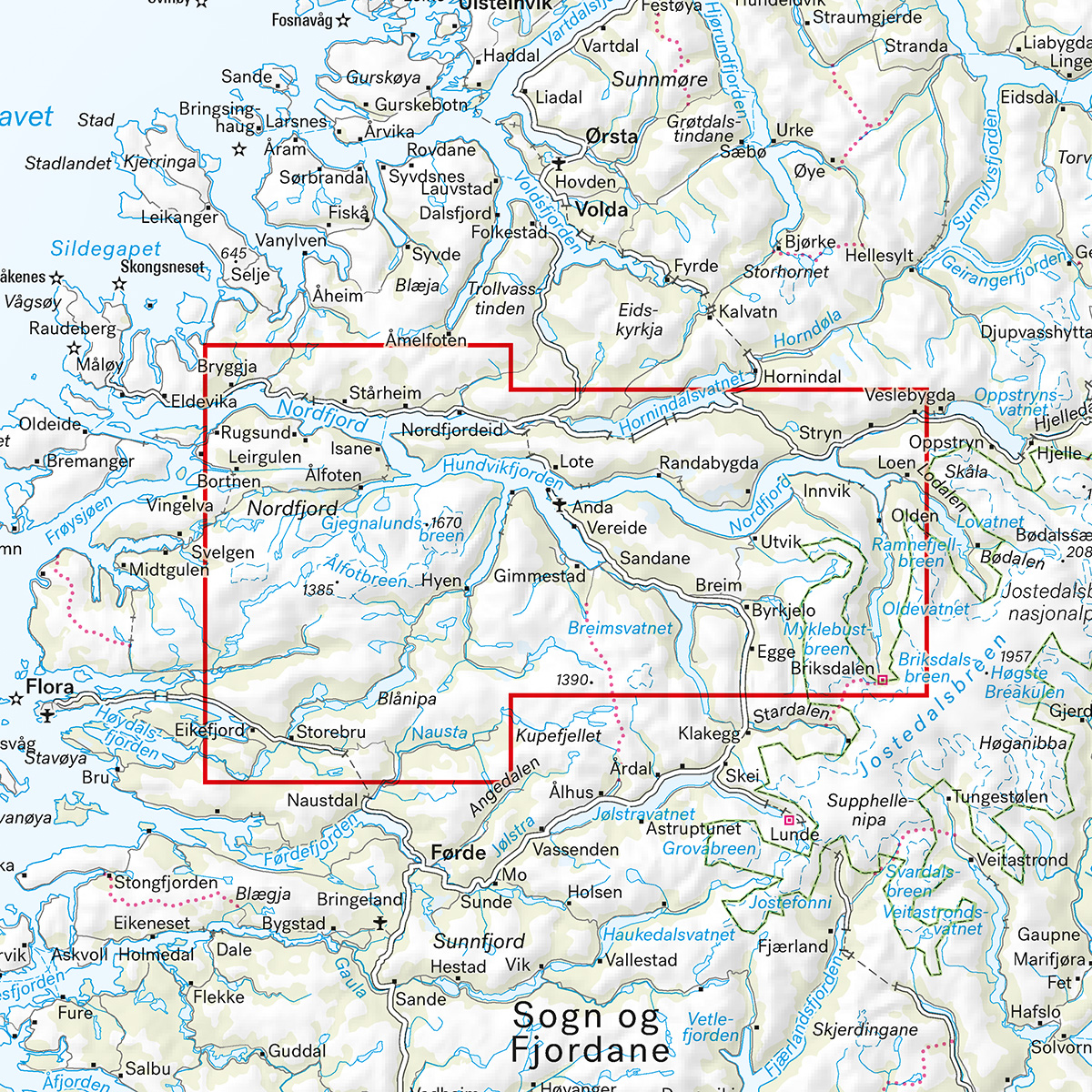
Turkart Nordfjord covers the whole of Nordfjord with map sections on both the front and back. The map includes popular hiking areas such as Ålfotbreen, Nordfjordeid and Stryn, and provides a comprehensive overview of fjord landscapes, glacier areas and mountain terrain in the region.
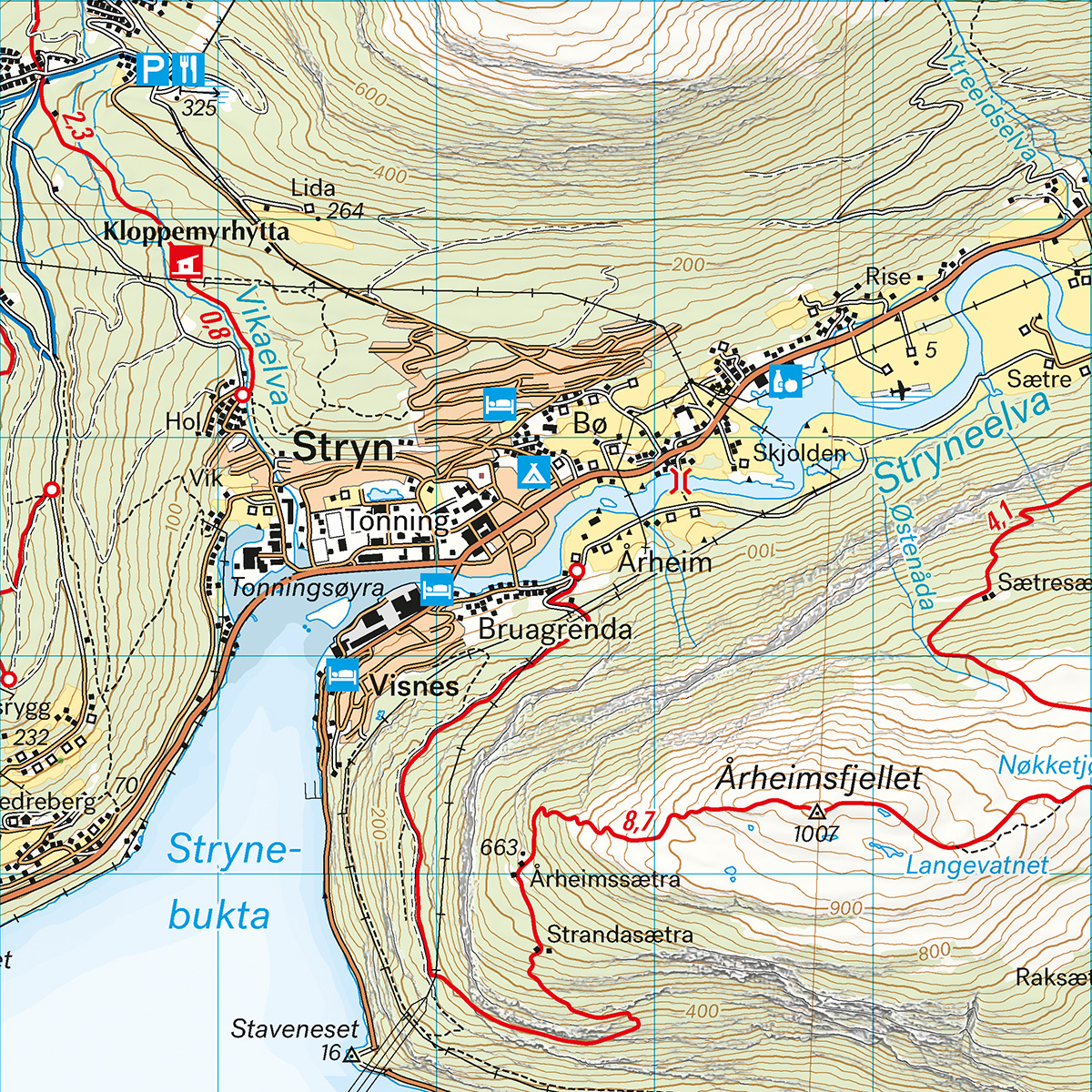
The map shows cabins run by DNT and other operators, as well as marked hiking routes in the area. It is adapted for use throughout the year, with marked winter routes and groomed ski trails where applicable. The terrain information is based on detailed elevation data, which provides a precise and clear representation of contours, water and landscapes in a varied and sometimes demanding terrain.
The map is at a scale of 1:50,000, which is the most common scale for longer mountain hikes. At this scale, 2 cm on the map corresponds to 1 km in the terrain. This provides a good balance between level of detail and overview of larger areas.
Calazo donates an amount per map sold to DNT’s work on trails and accommodation cabins, which contributes to the further development and maintenance of the infrastructure in the area.
Calazo Förlag is a Swedish publishing house specializing in maps and books for outdoor life in the Nordic region.
Here you can see the area the map covers:
The map is released in 2025.