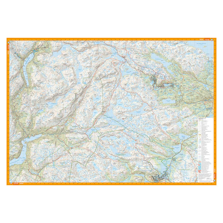
Description
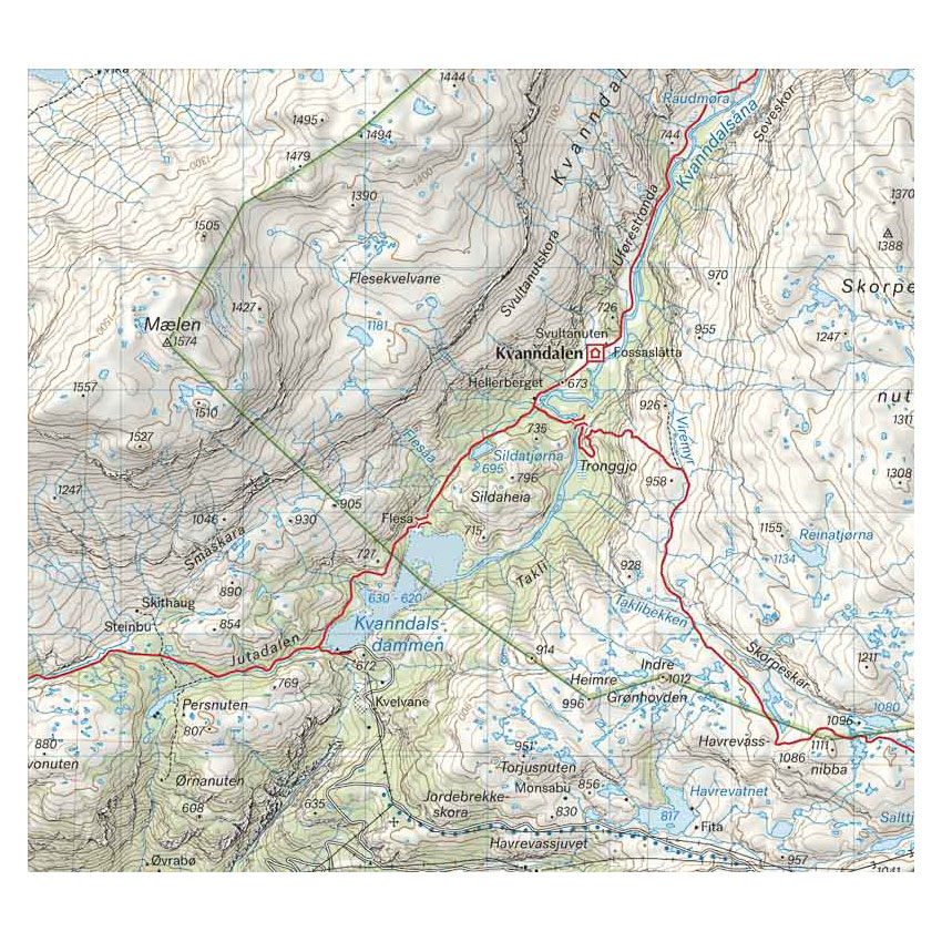
Turkart Røldal & Haukeli covers the mountain areas around Røldal and Haukeli with map sections on both the front and back. The area consists of high mountains, plains, water and marked peaks, and provides good opportunities for both short day trips and longer continuous trips.
The map shows marked summer and winter routes, as well as cabins run by DNT and other operators. The terrain information is based on detailed elevation data, which provides a precise representation of contours, water, rivers and landscapes. The map is adapted for use throughout the year, with marked winter routes and groomed ski trails where applicable.
The map is at a scale of 1:50,000, which is the most common scale for longer mountain hikes. At this scale, 2 cm on the map corresponds to 1 km in the terrain. This provides a good balance between level of detail and overview of larger areas.
Calazo Förlag is a Swedish publishing house specializing in maps and books for outdoor life in the Nordic region.
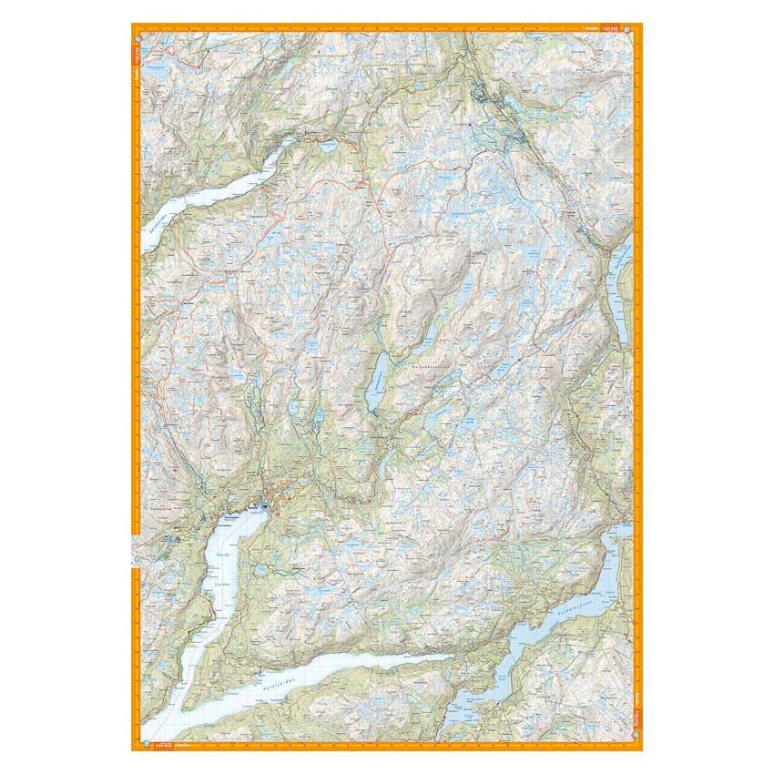
Here you can see the area the map covers:
The map is released in 2023.